
Lago di Como and the long curve of northern Italy
Published on 09/16/2026 at 09:42 | Editorial responsibility: Rafael Müller, Editor-in-Chief AD HOC NEWS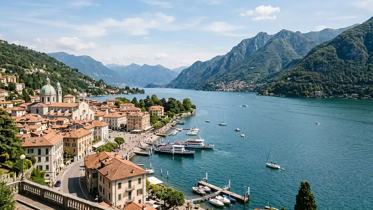
Lago di Como lies in Lombardy, north of Milan, and runs in three branches between the city of Como, Lecco and the northern arm past Colico. Its surface sits at 199 metres, and its broad, folded outline is one of the lake’s clearest features.
The lake is also known as Lario and Lacus Larius. Around it stand limestone and granite mountains, while the shoreline alternates between towns, villas and steep slopes.
The three-branch shape of Lago di Como
The lake’s inverted Y form is the feature that makes it easy to read on a map and from the shore. A western branch reaches Como, an eastern branch runs towards Lecco, and a northern branch extends past Colico.three branches
Britannica places the lake in a depression surrounded by limestone and granite mountains, and gives it an area of 146 square kilometres and a maximum depth of 414 metres.146 square kilometres The deepest water lies far below the level of the surrounding ridges, and the margins change from gentle landing places to abrupt rock faces.
Como, the cathedral and the lake edge
Como gives the lake its name and forms the south-western anchor of the basin. The city’s cathedral rises near the waterfront and remains one of the clearest urban landmarks on the shore.
The Duomo began in 1396, and its dome was completed in 1744.began in 1396 Its fabric brings together Gothic, Renaissance and Baroque phases, with three Gothic naves, Renaissance apses and a late Baroque dome.Gothic naves
Lago di Como in geography and history
Lake Como is glacial in origin and has long been tied to movement through northern Italy. The lake receives the Adda River near Colico and releases it at Lecco, while other streams join along the shore.Adda River
The basin is associated with Roman settlement at Novum Comum and with the later growth of lake towns such as Bellagio, Varenna and Menaggio.Roman settlement Villas, churches and lakeside streets line the water, while the surrounding mountains keep the lake visually enclosed.
Visiting Lago di Como: what travellers from Western Europe should know
- Como sits at the south-western tip of the lake, with rail links from Milan and road access along the basin.
- The shore alternates between town fronts, ferry landings and steep slopes. The mountains rise close to the water, and some paths climb in stages above the villages.
- Several lake towns sit on the main branches, including Bellagio, Lecco, Varenna and Menaggio.
- The official language is Italian and the currency is the euro.
Searching for Lago di Como on social platforms
These links open searches for Lago di Como on each platform.
Frequently asked questions about Lago di Como
Where is Lago di Como?
It lies in Lombardy, in northern Italy, north of Milan. The main towns on its shores include Como, Lecco, Bellagio, Varenna and Menaggio.
What does a visit involve?
The lake is read through its branches, its shore towns and the steep slopes above the water. Ferries, rail links and roads connect the settlements around it.
What makes Lago di Como distinctive?
Its long, three-armed outline and the mountain walls around it give the basin a clear shape. The cathedral in Como adds a strong urban landmark at the southern end.


