
Lago de Atitlan and the volcano ring around Panajachel
Published on 08/26/2026 at 06:37 | Editorial responsibility: Rafael Müller, Editor-in-Chief AD HOC NEWS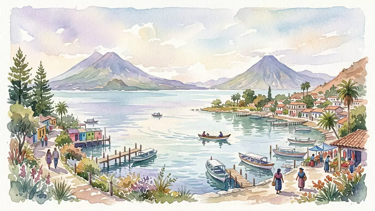
Lago de Atitlan is a caldera lake in the Guatemalan highlands, and Panajachel sits on its shore. The lake lies inside the Atitlán caldera, with the volcanoes San Pedro, Tolimán and Atitlán rising around it.
The basin and its volcanoes
The most striking feature of Lago de Atitlan is the basin itself. Water fills a broad volcanic hollow, while the surrounding slopes and cones give the shoreline a steep frame.
The lake belongs to the volcanic landscape of western Guatemala. Its setting in the Sololá Department links it to a chain of highland terrain and long geological change.Lake Atitlán The lake is known in Spanish as Lago de Atitlán, and its basin has long been part of the region’s everyday geography.
Panajachel on the lakeshore
Panajachel is the town most closely associated with the lake’s north-western side. It stands on the shore rather than high above it, with access to the water and the villages spread along the lake.
The town lies in Sololá Department and is linked to the broader lakeside settlement pattern. From here, the shoreline turns towards other villages and the volcanic walls that define the basin.Panajachel The lake’s form and the town’s position make the relationship between water, shore and high ground easy to read at a glance.
A lake shaped by deep geology
The lake is widely described as a caldera lake, and the caldera structure gives the whole place its identity. The basin is more than a simple shoreline setting; it is the visible trace of large-scale volcanic activity.
Lake Atitlan fills part of the Atitlán caldera, and that geology explains the steep sides that close in around the water. The surrounding volcanoes belong to the same landscape system, not to separate viewpoints or distant scenery.Atitlán caldera The result is a lake whose shape reads as a geological form as much as a place on the map.
Visiting Lago de Atitlan: what travellers from Western Europe should know
- The lake lies in southwestern Guatemala, and Panajachel is the lakeside town most travellers use as a base. Boats connect Panajachel with other settlements on the shore.
- The shore sits at altitude, and the surrounding slopes rise sharply from the water. Paths and roads around the lake follow the contours of the volcanic basin.
- The official language is Spanish and the currency is the Guatemalan quetzal.
- Entry requirements depend on your nationality; UK travellers can check the FCDO travel advice at gov.uk/foreign-travel-advice, Irish travellers the Department of Foreign Affairs at ireland.ie.
Searching for Lago de Atitlan on social platforms
These links open searches for Lago de Atitlan on each platform.
Frequently asked questions about Lago de Atitlan
Where is Lago de Atitlan?
Lago de Atitlan is in the Guatemalan highlands, in Sololá Department in southwestern Guatemala. Panajachel sits on its shore and is closely tied to the lake’s access pattern.
What does a visit involve?
A visit centres on the shoreline, the boat connections between lakeside settlements and the steep volcanic scenery around the basin. The place is defined by water, height and the towns along the edge.
What makes Lago de Atitlan distinctive?
Its caldera setting gives it a clear geological form, with volcanoes standing around the lake rather than far beyond it. Panajachel, the shore and the enclosing slopes together create the place’s identity.


