
Lago de Atitlan: a volcanic lake beneath three peaks
Published on 09/23/2026 at 05:57 | Editorial responsibility: Rafael Müller, Editor-in-Chief AD HOC NEWS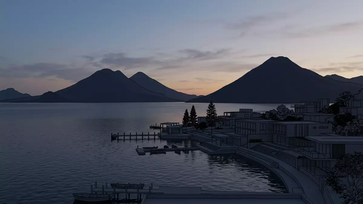
Lago de Atitlan lies in Guatemala’s western highlands, a deep sheet of water enclosed by steep volcanic slopes. From Panajachel, the lake opens towards the peaks of Atitlán, Tolimán and San Pedro, while Maya towns line its shores.
The landscape combines a broad blue surface, high volcanoes and a basin formed by volcanic activity. Its scale becomes clearer from the water, where the shoreline folds into bays, villages and cultivated hillsides.
Lago de Atitlan inside a volcanic basin
Lago de Atitlan occupies a volcanic caldera formed after a major eruption approximately 84,000 years ago. The basin later filled with water, producing a lake whose depth exceeds 300 metres in places. the volcanic caldera remains the defining physical feature of the landscape.
The lake lies at about 1,563 metres above sea level. Britannica records a length of about 19 kilometres, a width of roughly 10 kilometres and a maximum depth of approximately 320 metres. These measurements describe a highland lake with a substantial vertical scale beneath its surface.
Three cone-shaped volcanoes stand along the southern side: Volcán Atitlán, Volcán Tolimán and Volcán San Pedro. Their slopes rise directly from the surrounding terrain, creating a continuous volcanic frame around the water. the three surrounding volcanoes give the lake its recognisable outline.
Three volcanoes and a changing shoreline
The southern shore is associated with the taller volcanic forms, while settlements and cultivated slopes occupy sections of the northern, western and eastern shores. The lake is not a single empty basin; villages, docks, roads and footpaths connect its edge with the surrounding highlands.
Panajachel sits on the north-eastern shore and functions as a principal gateway to Lago de Atitlan. From its waterfront, lanchas cross towards lakeside settlements including Santa Cruz La Laguna, Jaibalito, Tzununa, San Marcos La Laguna, San Pablo La Laguna, San Juan La Laguna and San Pedro La Laguna.
The water route reveals relationships between places that are less evident from a road map. Some communities face open water, while others occupy narrow shorelines beneath steep slopes. Small docks serve as practical points of arrival, departure and local exchange.
Lago de Atitlan’s surface can appear deep blue or green under changing light. The surrounding vegetation includes cultivated land, forested slopes and gardens near the settlements. The visible landscape is therefore volcanic, rural and inhabited at the same time.
Maya communities around Lago de Atitlan
The lake lies within a region shaped by living Maya cultures. Kaqchikel communities are associated with Panajachel and several eastern and northern settlements, while Tz’utujil communities are prominent around the southern and western shores.
Traditional dress, weaving, agriculture and local religious practice remain part of the cultural landscape. These elements belong to the towns themselves, not merely to displays arranged for visitors. The shoreline is also a working environment, with boats, markets, farms and household activity beside the water.
Santiago Atitlan is a major settlement on the southern shore. San Juan La Laguna is associated with Tz’utujil culture and textile production, while Santa Catarina Palopo is associated with Kaqchikel heritage. Each community has its own streets, waterfront spaces and relationship with the lake.
Spanish is widely used in public life, alongside Maya languages including Kaqchikel and Tz’utujil. Guatemala’s currency is the quetzal. The lake’s cultural geography is therefore expressed through language, clothing, craft and the names of the settlements surrounding the water.
Panajachel provides road access to the lake and a waterfront connection with the other communities. Public lanchas link the towns by water, while tuk-tuks operate within several settlements. the lakeside towns form a connected human landscape around the volcanic basin.
Visiting Lago de Atitlan: what travellers from Western Europe should know
- Panajachel lies on the north-eastern shore of Lago de Atitlan. Road transport reaches Panajachel, and lanchas depart from its waterfront for lakeside towns.
- The shore combines steep hills, volcanic terrain, uneven paths and water crossings. Walking within the towns can involve slopes, steps and unpaved sections.
- Altitude is part of the setting, with the lake surface about 1,563 metres above sea level. The surrounding volcanoes rise substantially higher than the shoreline.
- The official language is Spanish and the national currency is the Guatemalan quetzal.
- Entry requirements depend on your nationality; UK travellers can check the FCDO travel advice at gov.uk/foreign-travel-advice, Irish travellers the Department of Foreign Affairs at ireland.ie.
Searching for Lago de Atitlan on social platforms
These links open searches for Lago de Atitlan on each platform.
Frequently asked questions about Lago de Atitlan
Where is Lago de Atitlan?
Lago de Atitlan lies in Guatemala’s western highlands, near Panajachel. The lake is surrounded by volcanic slopes and lakeside Maya communities.
What can visitors expect around the lake?
Visitors encounter waterfront towns, lanchas, steep paths, cultivated hillsides, markets, textile traditions and views towards three volcanoes.
What makes Lago de Atitlan distinctive?
Its volcanic caldera, deep water, high elevation and three surrounding volcanoes form a landscape closely connected with Kaqchikel and Tz’utujil communities.


