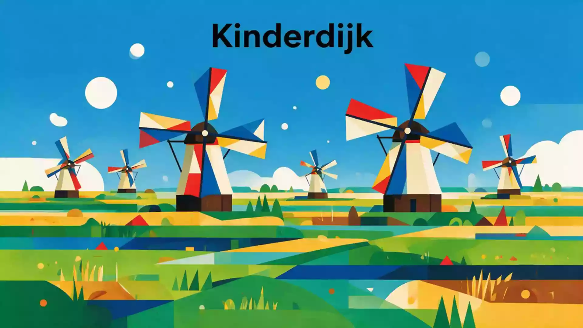
Kinderdijk’s windmill landscape of water and land
Published on 09/04/2026 at 06:24 | Editorial responsibility: Rafael Müller, Editor-in-Chief AD HOC NEWS
Kinderdijk in the Netherlands is a village and polder landscape where windmills, dykes and waterways form a single long-standing water management system. In the Alblasserwaard, at the meeting point of the Lek and Noord rivers, this flat expanse of land shows how engineering and everyday life are intertwined in a place shaped by water.Kinderdijk is situated in the Alblasserwaard polder
A mill network built around water
The best known feature of Kinderdijk is a group of historic windmills that stand along the drainage canals of the polder. Nineteen monumental mills were built around 1740 to help lift excess water from the low-lying land into higher reservoirs, forming part of a wider system of pumping stations, sluices and dykes.The Kinderdijk windmills are a group of 19 monumental windmills Each mill faces the canal, with brick or timber bodies carrying long sail arms that once turned in the wind to drive internal machinery.
Kinderdijk lies within the municipality of Molenlanden in South Holland, and the windmill network follows the lines of the Overwaard and Nederwaard canals, set out to carry water away from the polder.The Mill Network at Kinderdijk-Elshout is recognised as a group of buildings in an exceptional human-made landscape The contrast between narrow canal banks and broad open meadows emphasises how much of the area lies below river level. Wooden bridges cross the drainage channels, linking towpaths and farm tracks that run between the mills and the surrounding fields.
UNESCO World Heritage in the Dutch lowlands
Kinderdijk’s mill network and wider landscape were inscribed as a UNESCO World Heritage Site in 1997 under the name “Mill Network at Kinderdijk-Elshout”.They have been a UNESCO World Heritage Site since 1997 The designation highlights the long history of hydraulic works in this part of the Netherlands, where the struggle to drain land for agriculture and protect it against flooding goes back to the Middle Ages.Construction of hydraulic works for drainage began in the Middle Ages
The Kinderdijk-Elshout area brings together dykes, reservoirs, pumping stations, Water Board assembly houses and the chain of windmills in a single cohesive landscape. The World Heritage listing describes it as a distinctive example of a man-made environment where all major elements of a complex water management system have survived. The mills remain in their original positions along the canals, and the surrounding polder continues to be managed as agricultural land that depends on controlled drainage.
Experiencing the water landscape of Kinderdijk
A visit to Kinderdijk is as much about the landscape as it is about individual structures. Paths and embankments follow the canals, giving long views along lines of mills with water in the foreground and open fields beyond.In the water-rich area near Dordrecht the windmills stand as part of a larger water management system At certain points, the alignment of several mills along one bank forms a continuous row of roofs and sails, mirrored in the surface of the canal.
The combination of windmills, modern pumping stations and broad embanked reservoirs makes it clear that the polder’s safety depends on several layers of infrastructure. Information displays and visitor centres introduce the history of drainage in the Alblasserwaard, from early dykes and simple mills to mechanised pumping. Some mills are accessible inside, where steep staircases lead to living spaces and the floors that once housed gears and shafts driven by the sails.Kinderdijk presents itself as living World Heritage with a water management story
Visiting Kinderdijk: what travellers from Western Europe should know
- Kinderdijk lies in South Holland, east of Rotterdam, in the Alblasserwaard polder at the confluence of the Lek and Noord rivers. It can be reached by regional buses and by waterborne services that connect with nearby cities such as Rotterdam and Dordrecht.
- The terrain around the mills is flat but can involve long walks along embankments and narrow paths beside open water. Several bridges and short flights of steps connect different levels between the canals and dykes.
- The wider mill area is exposed to wind and weather, with few tall buildings nearby, so visitors spend much of their time outdoors on open paths and dykes.
- The official language is Dutch and the currency is the euro.
Searching for Kinderdijk on social platforms
These links open searches for Kinderdijk on each platform.
Frequently asked questions about Kinderdijk
Where is Kinderdijk and what kind of place is it?
Kinderdijk is a village and polder landscape in South Holland, in the Alblasserwaard, where a network of canals, dykes and windmills manages water from the surrounding rivers.
What can visitors expect on a visit to Kinderdijk?
Visitors walk along canals and embankments between historic windmills, reservoirs and pumping stations, with views over flat farmland and information about the region’s drainage history.
What makes Kinderdijk distinctive among Dutch landscapes?
Kinderdijk brings together an eighteenth-century mill network and modern hydraulic works in one coherent polder landscape recognised as a UNESCO World Heritage Site.