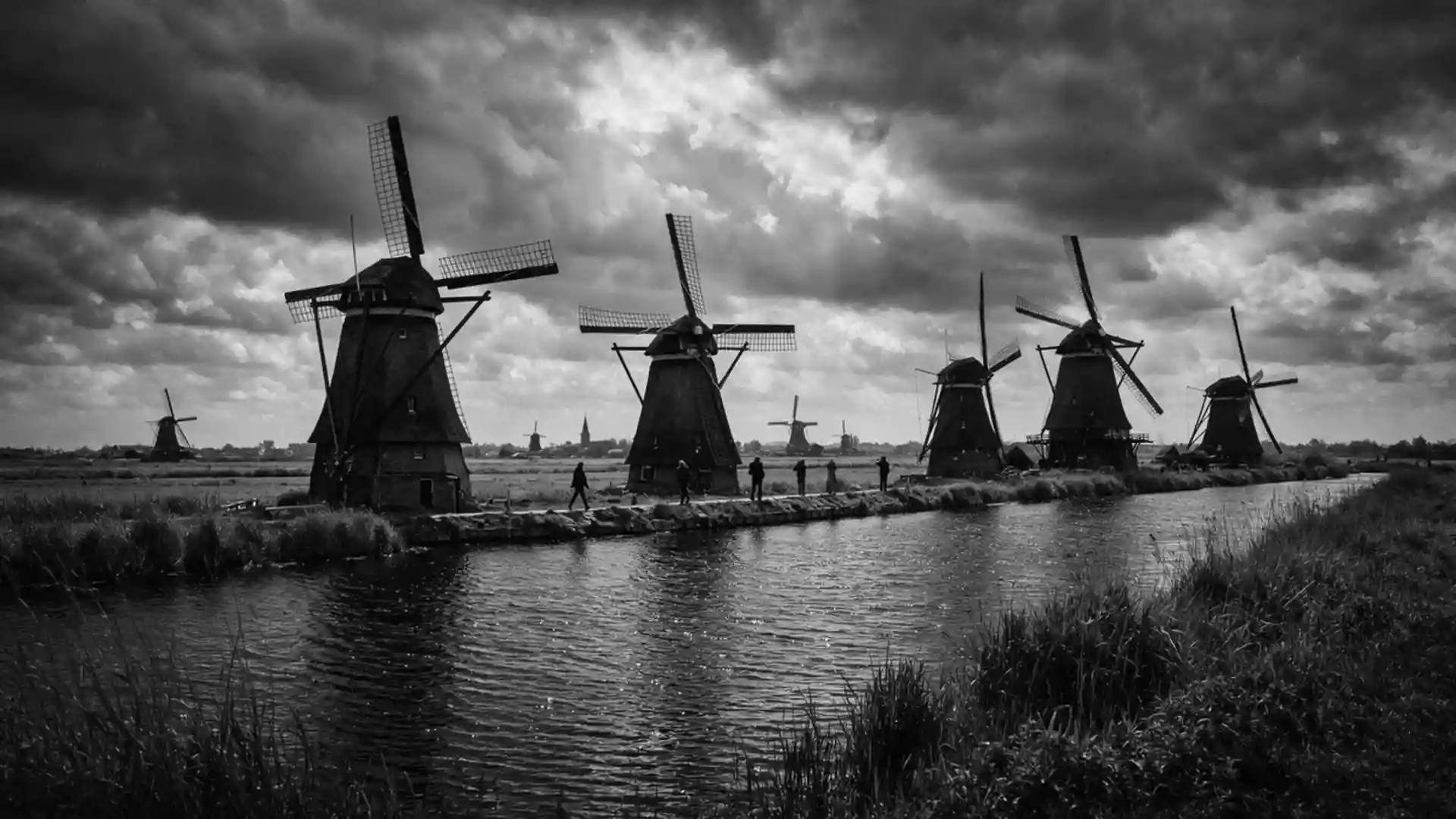
Kinderdijk’s windmill landscape and centuries of water management
Published on 09/07/2026 at 22:30 | Editorial responsibility: Rafael Müller, Editor-in-Chief AD HOC NEWS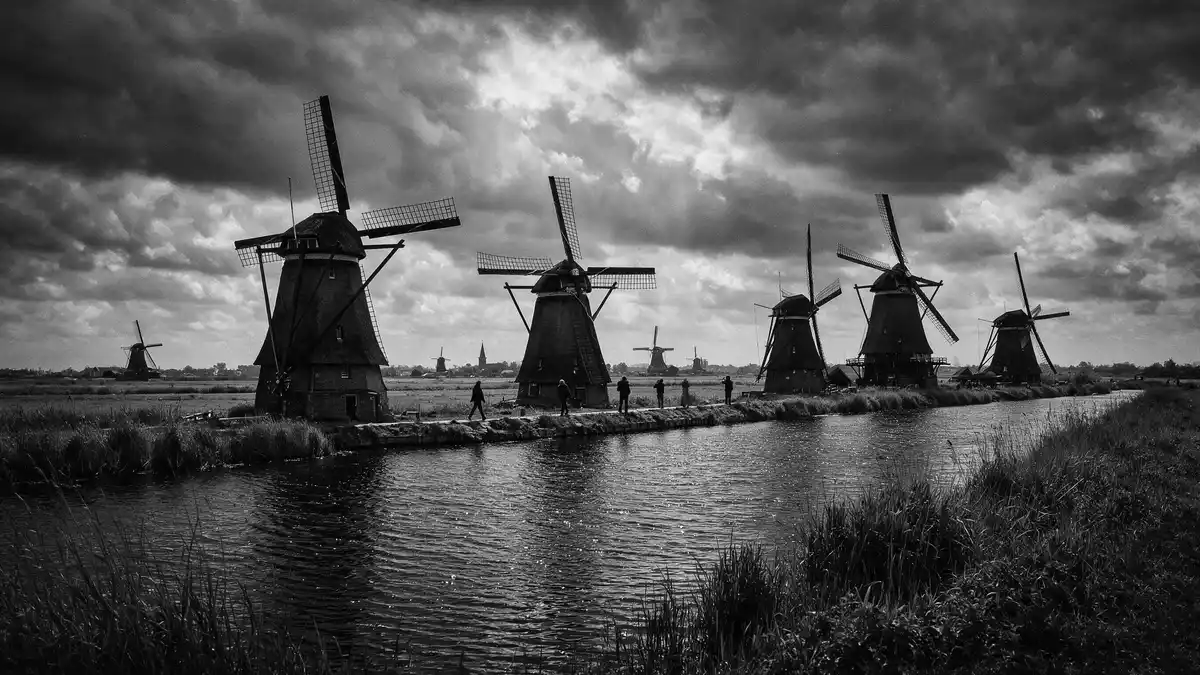
Kinderdijk in the Netherlands is a low-lying polder landscape where historic windmills, dykes and pumping stations work together in a single water management system. The Mill Network at Kinderdijk-Elshout has been recognised as a UNESCO World Heritage Site since 1997, highlighting centuries of Dutch efforts to control water in South Holland.
Windmills in parallel lines above the polders
The core image of Kinderdijk is a series of traditional windmills set along canals in the Alblasserwaard polder, east of Rotterdam in the province of South Holland. The site encompasses nineteen windmills that form part of the drainage system for surrounding polders in the municipality of Molenlanden.Kinderdijk windmills Eight of these are brick-built ground-sailers and others are wooden mills, arranged so that water can be moved step by step from low-lying fields into higher basins.nineteen windmills built between 1738 and 1740
Standing on the towpaths beside the canals, the layout becomes clear: the mills, waterways, sluices and reservoirs connect in sequence across the flat landscape. Each mill served as a wind-powered pump, lifting water from one level to the next until it could be discharged into the river systems of the Lek and the Noord that meet near the village of Kinderdijk.water-lifting pumps powered by wind energy
A landscape shaped by centuries of drainage
The Alblasserwaard polder in which Kinderdijk lies has been drained and farmed for many generations, with hydraulic works developing from the Middle Ages onwards. Construction of dykes, reservoirs and pumping installations in this region continued for centuries, creating a coherent system that allowed permanent settlement on land that lies several metres below sea level.hydraulic works for the drainage of land Kinderdijk’s mills were added in the eighteenth century as part of this gradual intensification of water management.
The main building period for the mill network took place between 1738 and 1740, when a chain of drainage mills was erected to stabilise water levels in the low-lying polders around the village.sixteen drainage mills built between 1738 and 1740 One earlier mill at Blokweer, dating from 1630, marks the long history of experimentation with wind-powered pumping in this region. Together the mills, storage basins and dykes form a cultural landscape where engineering structures, pastures and waterways share the same flat horizon.
UNESCO World Heritage and living water infrastructure
Kinderdijk’s formal name on the UNESCO World Heritage List is the Mill Network at Kinderdijk-Elshout, inscribed in 1997 under cultural criteria that recognise its outstanding universal value in hydraulic engineering.World Heritage listing 818 The designation covers the mills, dykes, reservoirs, pumping stations and associated administrative buildings within an area of over 300 hectares.area of the Mill Network at Kinderdijk-Elshout
The windmills themselves retain their function as part of the wider system, even though modern pumping stations now handle routine drainage. They have been maintained in working order and have stepped in during emergencies, illustrating how historic technology still has a role alongside contemporary installations.historic mills and modern pumping stations As a visitor landscape, Kinderdijk combines accessible paths, bridges and viewpoints with continuing agricultural use of the surrounding fields.
Visiting Kinderdijk: what travellers from Western Europe should know
- Kinderdijk lies in the province of South Holland, in the municipality of Molenlanden, roughly east of Rotterdam and near the confluence of the Lek and Noord rivers. It can be reached by regional roads and public transport connections from Rotterdam and other Dutch cities.
- The mill area is largely flat, with paths running along dykes and canal banks. Walking routes involve level ground but can cover several kilometres on unshaded embankments exposed to wind and weather.
- The surroundings include the broader Alblasserwaard polder landscape, with pastures, waterways and views towards the river Lek. Other Dutch water management sites and historic towns in South Holland are within reach by road or public transport.
Searching for Kinderdijk on social platforms
These links open searches for Kinderdijk on each platform.
Frequently asked questions about Kinderdijk
Where is Kinderdijk located?
Kinderdijk is a village and polder landscape in the municipality of Molenlanden, in South Holland, east of Rotterdam and near the rivers Lek and Noord.
What can visitors expect to see at Kinderdijk?
Visitors encounter historic windmills, dykes, canals, pumping stations and pastureland laid out in a coherent drainage system, with paths and bridges offering views across the flat polder.
What makes Kinderdijk distinctive among Dutch landscapes?
Kinderdijk is distinctive for its concentrated network of eighteen-century windmills and associated waterworks recognised as a UNESCO World Heritage Site, demonstrating long-term Dutch water management in a single landscape.