
Khao Phing Kan’s leaning limestone cliffs in Phang Nga Bay
Published on 09/14/2026 at 10:43 | Editorial responsibility: Rafael Müller, Editor-in-Chief AD HOC NEWS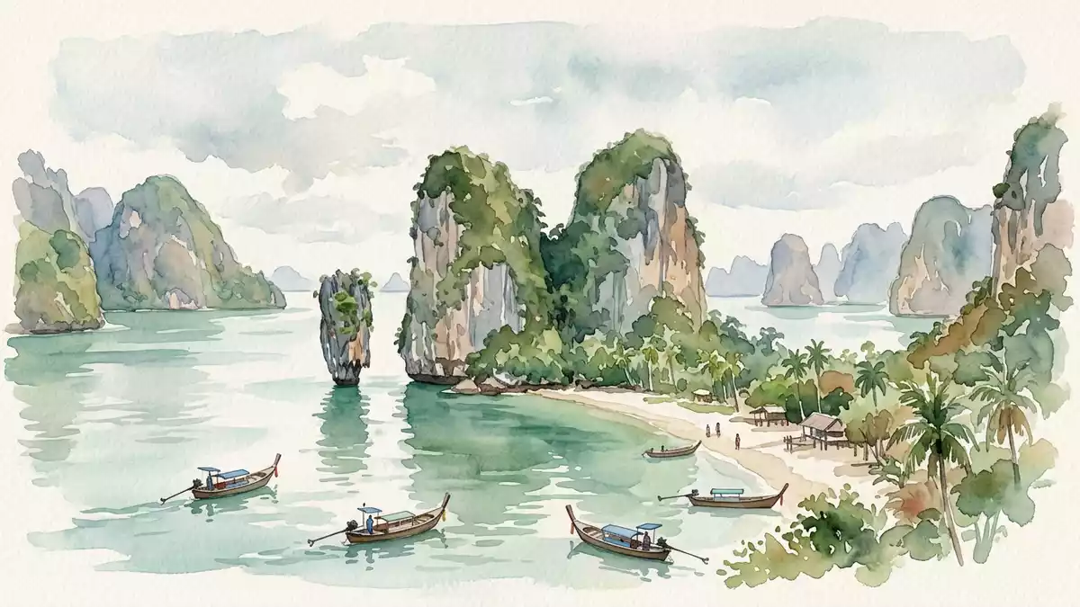
Khao Phing Kan in Phang Nga Bay in southern Thailand is a compact limestone island where steep cliffs lean together above calm, shallow water. The island lies within Ao Phang Nga National Park and gained worldwide recognition after appearing as Scaramanga’s hideout in the 1974 James Bond film “The Man with the Golden Gun”, underlining how a small karst outcrop became a cinematic landmark in the Andaman Sea.
Leaning cliffs and a narrow beach between limestone towers
The defining feature of Khao Phing Kan is the way its main limestone masses slope towards each other, creating a narrow defile that opens onto a sandy pocket of beach at the water’s edge. The Thai name is often translated as “hills leaning against each other”, a direct description of these twin rock faces that appear to brace together above the bay.Khao Phing Kan is an island in Phang Nga Bay The cliffs rise steeply from the sea, their surfaces streaked with mineral stains and dotted with small trees and shrubs that have taken root in cracks and ledges.
At the base of the leaning cliffs lies a sheltered strip of sand that visitors reach from landing boats, framed by rock on three sides and opening towards the bay. The karst itself is part of the Ratburi Limestone sequence that underpins much of Phang Nga Bay, a formation deposited during the Permian period when a broad carbonate platform spread across what is now southern Thailand.Ratburi Limestone was laid down from the Early Permian Erosion has undercut portions of the cliffs near the waterline, leaving sections of the rock face overhanging the tidal zone.
Ko Tapu: the isolated “nail rock” facing the main island
Just offshore from Khao Phing Kan stands Ko Tapu, the slender limestone pillar that completes the scene many visitors associate with James Bond Island. The name Ko Tapu is usually rendered as “nail island”, a nod to its spike-like outline rising from the sea.Ko Tapu is a limestone rock about 20 metres tall The pillar stands a short distance from the main beach, separated by a channel of shallow green water where long-tail boats manoeuvre for views.
Ko Tapu forms part of the same karst system as Khao Phing Kan but has detached completely from the main island, becoming a sea stack with its own profile. Its sides show pronounced undercutting near the base and a wider crown higher up, the result of chemical weathering and wave action working differently at various levels of the rock.Ko Tapu stands around 20 metres from the beach of Khao Phing Kan Together, the leaning cliffs of Khao Phing Kan and the isolated pillar of Ko Tapu create a compact composition of rock, sea and sky that has become one of the most recognisable geological scenes in Phang Nga Bay.
From geological time to film location in Ao Phang Nga National Park
Although Khao Phing Kan’s international reputation is tied to a single film released in 1974, the rock forming its cliffs is far older. The limestone towers of Phang Nga Bay began taking shape from marine sediments laid down roughly 250 million years ago during the Permian period, later uplifted and fractured by tectonic movements as continental blocks shifted.James Bond Island is officially called Khao Phing Kan Subsequent karstification – the gradual dissolution of limestone by slightly acidic water – carved vertical joints, caves and overhangs, leaving resistant towers isolated from the surrounding plateau.
Sea levels rose after the last glacial maximum, flooding low-lying areas between limestone blocks and turning former hills into islands scattered across Phang Nga Bay.The limestone of Phang Nga Bay formed between about 295 and 250 million years ago Khao Phing Kan and Ko Tapu now sit within Ao Phang Nga National Park, a protected area that encompasses mangrove-fringed coastlines, karst islands and sheltered channels north-east of Phuket. The film “The Man with the Golden Gun” used Khao Phing Kan as the lair of Francisco Scaramanga, embedding the twin cliffs and nearby pillar into popular culture and fixing the James Bond Island nickname that appears on many tour descriptions.
Visiting Khao Phing Kan: what travellers from Western Europe should know
- Khao Phing Kan lies in the north-western part of Phang Nga Bay, between Phuket and the mainland province of Phang Nga; access is by boat across the bay.
- Landing on the island involves stepping from small boats directly onto a sandy beach backed by limestone cliffs, with uneven rock surfaces and short paths over compacted sand.
- The island forms part of Ao Phang Nga National Park, so the surrounding waters and mangrove-lined coasts are protected; boats navigate among karst towers where channels can be shallow at low tide.
- The official language is Thai and the currency is the Thai baht.
- Entry requirements depend on your nationality; UK travellers can check the FCDO travel advice at gov.uk/foreign-travel-advice, Irish travellers the Department of Foreign Affairs at ireland.ie.
Searching for Khao Phing Kan on social platforms
These links open searches for Khao Phing Kan on each platform.
Frequently asked questions about Khao Phing Kan
Where is Khao Phing Kan?
Khao Phing Kan is an island in Phang Nga Bay in southern Thailand, lying north-east of Phuket within Ao Phang Nga National Park.
What can visitors expect on a visit to Khao Phing Kan?
Visitors step ashore on a small sandy beach framed by leaning limestone cliffs and can view the offshore pillar Ko Tapu rising from shallow green water.
What makes Khao Phing Kan distinctive among Phang Nga Bay’s islands?
The island combines twin limestone hills that lean together with the nearby spike of Ko Tapu, creating a compact, easily recognisable rock formation within the wider karst landscape.


