

Khao Phing Kan’s leaning cliffs in Phang Nga Bay
Published on 08/24/2026 at 14:55 | Editorial responsibility: Rafael Müller, Editor-in-Chief AD HOC NEWS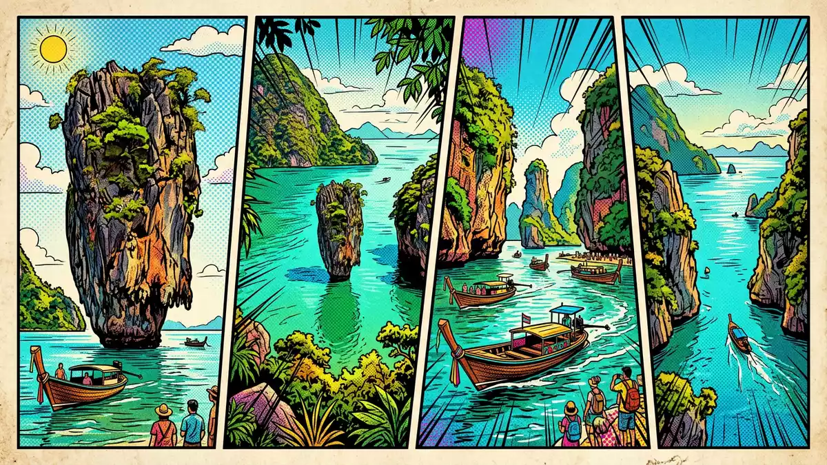
Khao Phing Kan in Phang Nga Bay in southern Thailand is a compact island where steep limestone cliffs lean towards each other above calm, shallow water. The island sits within Ao Phang Nga National Park and faces the slender limestone pillar of Ko Tapu a short distance offshore, creating one of the bay’s most recognisable rock formations.
Leaning limestone cliffs and a stone pillar offshore
Khao Phing Kan is formed from limestone karst, a rock type that dissolves and fractures under tropical rain, leaving cliffs, caves and free-standing towers along the coast of southern Thailand. In Phang Nga Bay this geology produces sheer rock faces that rise directly from the sea, and Khao Phing Kan is a compact example, with cliffs, narrow beaches and forest cover concentrated in a small area of the bay.Khao Phing Kan is an island in Phang Nga Bay
From the eastern shore of Khao Phing Kan the view is dominated by Ko Tapu, a limestone islet that rises vertically from the water and tapers towards its base. Ko Tapu stands a short distance off the beach, close enough that its narrow profile and overhanging upper section appear as a single stone pillar when seen from the sand.Ko Tapu is a limestone karst cliff about 20 metres high Together, the leaning cliffs of Khao Phing Kan and the upright form of Ko Tapu create a clear visual contrast between mass and slenderness in the middle of the bay.
Phang Nga Bay and Ao Phang Nga National Park
Khao Phing Kan lies in the north-western part of Phang Nga Bay, between the resort island of Phuket and the mainland province of Phang Nga. The island forms part of Ao Phang Nga National Park, a protected marine area that includes mangrove forests, shallow channels and numerous limestone islands.Ao Phang Nga National Park protects the islands of Phang Nga Bay
Geologists link the limestone towers of Phang Nga Bay, including Khao Phing Kan and Ko Tapu, to marine sediments laid down hundreds of millions of years ago. These layers were later uplifted and exposed to tropical rainfall, which dissolved softer rock and left harder sections standing as cliffs and pillars.Phang Nga Bay contains limestone karsts formed from ancient marine sediments The result in the bay is a flooded landscape of vertical rock walls, narrow inlets and isolated stacks that frame the water around Khao Phing Kan.
Khao Phing Kan as a compact island to land on
The main part of Khao Phing Kan consists of two forested islands with steep sides and limited flat ground close to the shore.Khao Phing Kan consists of two forest-covered islands Small beaches sit between the cliffs, giving landing places where boats can put visitors ashore, and narrow paths link the landing areas with viewpoints over Ko Tapu and the surrounding bay.
About 40 m (131 ft) from the shore of Khao Phing Kan, Ko Tapu rises approximately 20 m (66 ft) above the sea surface.Ko Tapu stands about 40 metres offshore and about 20 metres high From the beach the pillar appears almost detached from the wider bay, with water surrounding its narrow base and limestone cliffs of other islands in the distance. The compact size of Khao Phing Kan means that views, landings and rock faces sit close together, and a short walk on the island brings changing perspectives on Ko Tapu and the bay’s wider limestone landscape.
Visiting Khao Phing Kan: what travellers from Western Europe should know
- Khao Phing Kan lies in Phang Nga Bay between Phuket Island and the mainland province of Phang Nga in southern Thailand. Access to the island is by boat across the bay.
- The terrain on Khao Phing Kan includes steep limestone slopes, short stretches of sand and uneven paths between landing points and viewpoints, with steps cut into rock in places.
- The island forms part of Ao Phang Nga National Park, so the surrounding seascape includes other limestone karst islands and mangrove-lined channels visible from the beaches and viewpoints.
- The official language is Thai and the currency is the Thai baht.
- Entry requirements depend on your nationality; UK travellers can check the FCDO travel advice at gov.uk/foreign-travel-advice, Irish travellers the Department of Foreign Affairs at ireland.ie.
Searching for Khao Phing Kan on social platforms
These links open searches for Khao Phing Kan on each platform.Frequently asked questions about Khao Phing Kan
Where is Khao Phing Kan located?
Khao Phing Kan is in Phang Nga Bay in southern Thailand, between Phuket Island and the mainland province of Phang Nga, within Ao Phang Nga National Park.
What should visitors expect on a visit to Khao Phing Kan?
Visitors land on small beaches beneath steep limestone cliffs, walk short distances on uneven paths and view the offshore pillar of Ko Tapu against the wider karst seascape.
What makes Khao Phing Kan distinctive among the islands of Phang Nga Bay?
Khao Phing Kan combines leaning forested cliffs, compact landing areas and the nearby stone pillar of Ko Tapu, forming a clear, easily recognisable rock composition in the bay.


