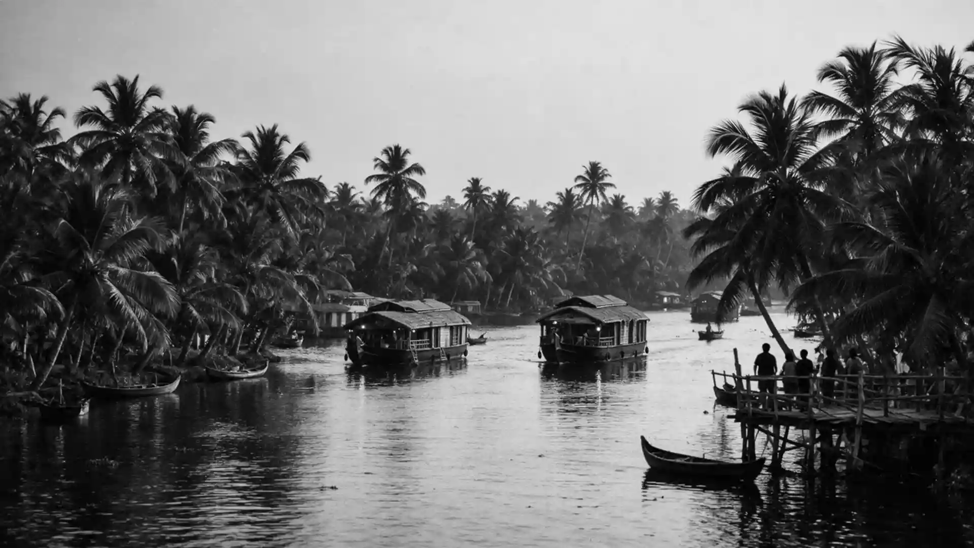
Kerala Backwaters in Alappuzha: canals, lakes and paddies
Published on 09/07/2026 at 15:54 | Editorial responsibility: Rafael Müller, Editor-in-Chief AD HOC NEWS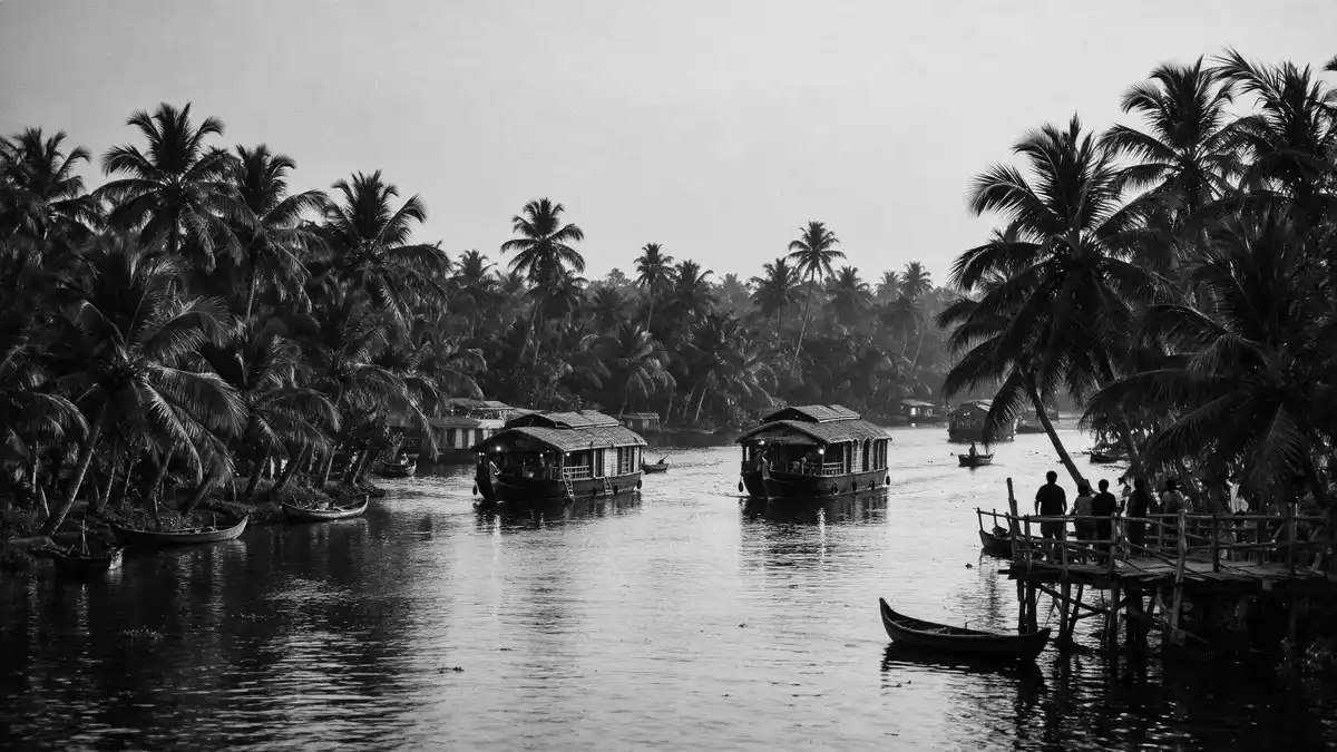
The Kerala Backwaters around Alappuzha in southern India form a broad, low-lying landscape where canals, lagoons and lakes run alongside paddy fields and village paths. The water network belongs to the wider backwater system that traces the Malabar Coast of Kerala as a chain of brackish lagoons and lakes parallel to the Arabian Sea, fed by rivers descending from the Western Ghats.backwater system parallel to the Arabian Sea
Waterworld on the Malabar Coast
Alappuzha sits on Kerala’s Malabar Coast, where the coastal plain is cut by countless waterways that link inland farms with the sea. The backwaters here are brackish, a mixture of river water and seawater, held behind low barrier islands and sandbanks along the coast.branched waterway network behind the Malabar Coast The term “backwaters” in Kerala covers an extensive network of canals, rivers and lagoons that extends for hundreds of kilometres along the state, but Alappuzha is one of the places where this waterworld feels densest.
The wider Kerala backwater system includes several large lakes linked by canals, both natural and man-made, and is fed by dozens of short rivers that rise in the Western Ghats and flow towards the sea.chain of brackish lagoons and lakes fed by rivers Within Alappuzha district itself, listed backwaters include broad expanses such as Vembanad Kayal and Kayamkulam Kayal alongside smaller kayals like Vadakkal and Arthunkal, forming a patchwork of open water and narrow channels.list of backwaters including Vembanad Kayal
Vembanad Lake and the Kuttanad paddy fields
One of the defining features of the backwaters around Alappuzha is Vembanad Lake, a long, shallow lake that stretches between the districts of Alappuzha, Kottayam and Ernakulam.Vembanad Lake framed by Alappuzha and Kottayam Vembanad is the largest waterbody in Kerala’s backwater system and ranks among India’s longest lakes, forming a broad sheet of water on which wooden boats, ferries and houseboats move between jetties and canals.Vembanad Lake as India’s longest lake
South and east of Alappuzha town lies the low-lying region of Kuttanad, often described as the “rice bowl of Kerala” because of its extensive paddy fields. Kuttanad spans parts of Alappuzha and Kottayam districts and is notable for farmland lying below sea level, where cultivation is carried out in areas that can be several metres lower than the surrounding water.Kuttanad paddy fields below sea level Embankments and bunds separate the fields from adjacent canals and lakes, creating a landscape where flat green plots and water channels sit almost on the same plane.
Life along the canals and lagoons
In the backwaters around Alappuzha, everyday life takes shape along the banks of canals and lagoons rather than beside roads. Villages facing onto water balance houses, small shrines and landing steps, with paths and narrow bridges linking one bank to another. Traditional wooden boats ferry people and goods between settlements, while larger vessels connect Alappuzha town to Vembanad Lake and the wider backwater system.
The backwaters form a transport corridor parallel to the Arabian Sea, where waterways have for generations carried coir products, agricultural goods and passengers between inland Kuttanad and coastal towns.Alappuzha backwaters as a corridor for rivers and coir Rivers such as the Pamba, Meenachil, Achankovil and Manimala flow into the Alappuzha backwaters, adding freshwater to lagoons before their water finally reaches the sea through inlets and estuaries.rivers flowing towards Alappuzha Houseboats, converted from traditional barges, now share the canals with local ferries, but the underlying pattern remains: water routes connect homes, churches, temples and markets across a wide, flat basin.
Visiting Kerala Backwaters: what travellers from Western Europe should know
- Alappuzha lies in southern Kerala on India’s Malabar Coast, and the backwaters are reached directly from the town’s canals and from jetties on nearby Vembanad Lake.
- Much of the area is low-lying and criss-crossed by canals, so moving around the backwaters involves steps down to landing places, narrow paths and boarding from simple quaysides.
- The official language is Malayalam and the currency is the Indian rupee.
- Entry requirements depend on your nationality; UK travellers can check the FCDO travel advice at gov.uk/foreign-travel-advice, Irish travellers the Department of Foreign Affairs at ireland.ie.
Searching for Kerala Backwaters on social platforms
These links open searches for Kerala Backwaters on each platform.
Frequently asked questions about Kerala Backwaters
Where are the Kerala Backwaters around Alappuzha?
They lie along Kerala’s Malabar Coast in southern India, with Alappuzha town providing one of the main entry points to canals and lakes such as Vembanad.
What should travellers expect on a visit to the backwaters?
Expect a flat, water-rich landscape of canals, lagoons and lakes, villages facing onto water and travel by boat between jetties, paddy fields and settlements.
What makes this part of the Kerala Backwaters distinctive?
The combination of Vembanad Lake, the low-lying paddy fields of Kuttanad and the dense canal network around Alappuzha gives this section of the backwaters a particularly water-bound character.