
Kenai Fjords National Park’s icefield coast
Published on 09/08/2026 at 07:59 | Editorial responsibility: Rafael Müller, Editor-in-Chief AD HOC NEWS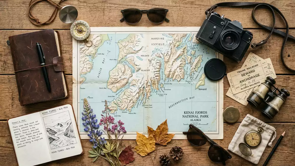
Kenai Fjords National Park near Seward is defined by the Harding Icefield, tidewater glaciers and a coast cut into fjords. The park became a national park in 1980, and its landscape still carries the mark of ice.
Harding Icefield and the glacier coast
The park’s main form is the Harding Icefield, which covers much of the high interior and feeds glaciers outward in every direction.Harding Icefield More than 30 glaciers flow from it, and some reach the sea as tidewater glaciers.
That icefield was created more than 23,000 years ago during the Pleistocene Epoch.Pleistocene Epoch The result is a park of ice, rock and salt water, where fjords and coastal islands sit alongside valley glaciers.
Kenai Fjords National Park in Alaska history
The park was established in 1980 under the Alaska National Interest Lands Conservation Act, after first being set aside as a national monument in 1978.Alaska National Interest Lands Conservation Act The name is now tied to a protected stretch of the Kenai Peninsula in south-central Alaska.
Russian fur traders, hunters, fishermen, fox farmers and miners all left traces in the wider fjord region. The oldest documented inhabitants were the Sugpiaq, commonly known as the Alutiiq, whose connection to the coast predates the park by centuries.Sugpiaq and Alutiiq
Exit Glacier and the park’s inland edge
Exit Glacier is the park’s road-accessible glacier and one of its best-known named features.Exit Glacier A trail reaches the glacier’s edge, and the Harding Icefield Trail continues towards an overlook of the icefield.
That part of the park brings bedrock, moraines and glacial outwash into the same view. The contrast between blue ice, grey rock and scrubby vegetation is one of the clearest ways to read the landscape on foot.
Visiting Kenai Fjords National Park: what travellers from Western Europe should know
- The park lies south and south-west of Seward on the Kenai Peninsula. Seward is the main gateway, and boat access is part of the park’s character.
- Exit Glacier gives the easiest land-based access. The approach includes a rocky outwash plain and steeper ground near the glacier.
- The park is dominated by ice, fjords and marine water. Boat travel brings the clearest view of tidewater glaciers and coastal cliffs.
- English is the main language in Alaska, and the currency is the US dollar.
- Entry requirements depend on your nationality; UK travellers can check the FCDO travel advice at gov.uk/foreign-travel-advice, Irish travellers the Department of Foreign Affairs at ireland.ie.
Searching for Kenai Fjords National Park on social platforms
These links open searches for Kenai Fjords National Park on each platform.
Frequently asked questions about Kenai Fjords National Park
Where is Kenai Fjords National Park?
It lies on the Kenai Peninsula in south-central Alaska, near Seward. The park reaches from coastal fjords towards the Harding Icefield.
What should a first visit expect?
Expect a place shaped by ice, rock and sea. Exit Glacier offers the most direct land access, while the coast is reached by boat.
What makes the park distinctive?
The Harding Icefield gives the park its scale and feeds the glaciers that run towards the coast. The mixture of icefield, fjords and marine shoreline defines it.


