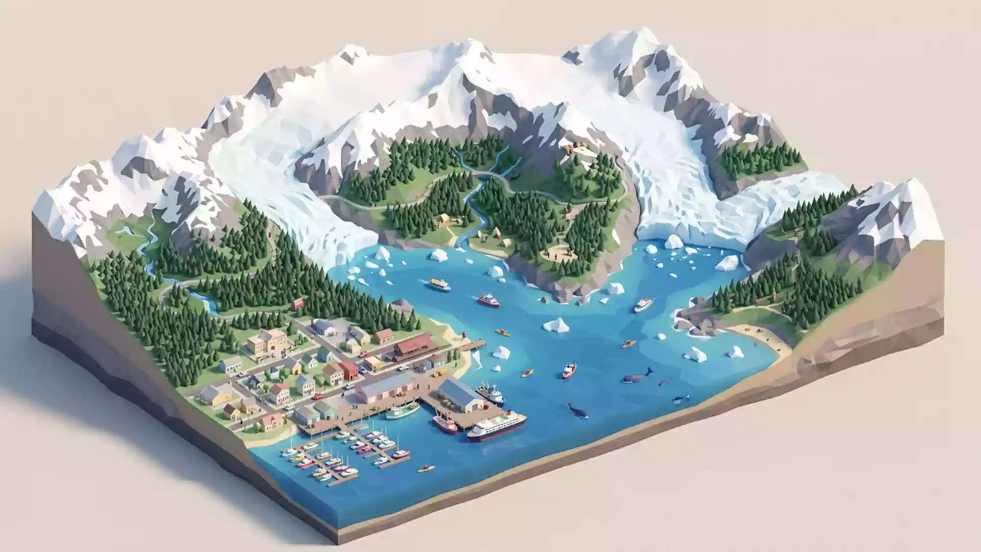
Kenai Fjords National Park: glaciers, fjords and the Gulf of Alaska
Published on 08/28/2026 at 23:02 | Editorial responsibility: Rafael Müller, Editor-in-Chief AD HOC NEWS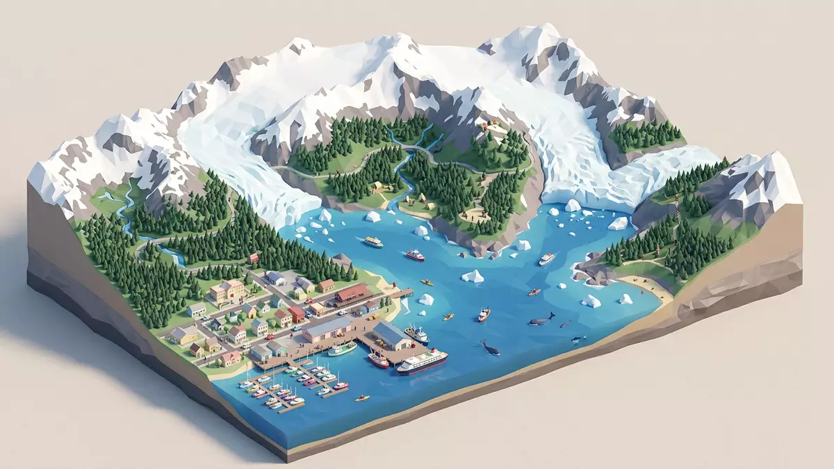
Kenai Fjords National Park stretches from the harbour town of Seward into a landscape where glaciers, mountains and the Gulf of Alaska meet in steep-sided fjords and broad icefields. Established as a national park in 1980 on Alaska’s Kenai Peninsula, it preserves one of North America’s most concentrated meetings of sea, rock and ice.
Where glaciers meet the Gulf of Alaska
Kenai Fjords National Park lies on the southeastern side of the Kenai Peninsula in south-central Alaska, with its main gateway at Seward on Resurrection Bay. The park covers around 2,700 km² of rugged terrain, with glacier-carved valleys dropping towards the open Pacific along the Gulf of Alaska coast.covers around 2,700 km² Snow and ice cover about half of this area, giving the coastline a stark contrast between white icefields and dark cliffs above the sea.Snow and ice cover about half
The park’s coastal edge is made up of headlands and deep fjords cut into the Kenai Mountains. These fjords are flooded glacial valleys, where the cliffs rise sharply from the sea and waterfalls descend from hanging valleys high above the water.deep fjords cut into the Kenai Mountains Offshore, rocky islands and sea stacks break up the swell, providing resting places for seabirds and haul-outs for marine mammals in the rich waters of the Gulf of Alaska.
The Harding Icefield and its outflowing glaciers
Behind the coast, the Harding Icefield covers a large section of the Kenai Mountains and feeds numerous glaciers that descend towards the sea. The icefield spans roughly 700 square miles, making it one of the largest icefields entirely within the United States and the origin of many of the park’s glaciers.roughly 700 square miles Nearly 40 glaciers flow from this mass of ice, forming sweeping tongues that carve valleys and, in some cases, reach tidewater.Nearly 40 glaciers flow
The Harding Icefield and its glaciers are one of the defining sights of Kenai Fjords National Park. Exit Glacier, close to Seward, descends eastwards from the icefield and offers one of the more accessible views of moving ice in Alaska.Exit Glacier, close to Seward Further into the park, tidewater glaciers end directly in narrow fjords, calving icebergs into the sea and linking the frozen interior to the marine environment.
Geology, wildlife and the park’s creation
The bedrock of Kenai Fjords National Park forms part of the Chugach–Prince William accretionary complex, a belt of marine sedimentary rocks that were added to the edge of the North American continent by subduction processes between roughly 150 and 33 million years ago.Chugach–Prince William accretionary complex These rocks, combined with the repeated advance and retreat of glacier ice during the Pleistocene, produced the steep-sided fjords, rocky islands and recently deglaciated slopes that characterise the park’s landscape.advance and retreat of glacier ice
The park provides habitat for bears, moose, sea otters, seals, sea lions and a wide range of seabirds, which use the mix of coastal rainforest, tundra, ocean and ice-edge waters.coastal rainforest, tundra, ocean and ice-edge waters Kenai Fjords was first proclaimed a national monument in 1978 and became a national park on 2 December 1980 under the Alaska National Interest Lands Conservation Act, with Seward designated as the administrative centre.became a national park on 2 December 1980
Visiting Kenai Fjords National Park: what travellers from Western Europe should know
- Kenai Fjords National Park lies on the southeastern Kenai Peninsula in Alaska, with Seward on Resurrection Bay serving as the main access town connected by road and sea links.
- The terrain includes steep mountain slopes, uneven coastal paths and glaciated valleys, and moving between viewpoints can involve walking over rocky ground and climbing steps.
- Weather across the park can shift quickly between low cloud, rain and clear skies, and conditions at the coast may differ from those near the Harding Icefield and Exit Glacier.
- The official language is English and the currency is the United States dollar.
- Entry requirements depend on your nationality; UK travellers can check the FCDO travel advice at gov.uk/foreign-travel-advice, Irish travellers the Department of Foreign Affairs at ireland.ie.
Searching for Kenai Fjords National Park on social platforms
These links open searches for Kenai Fjords National Park on each platform.
Frequently asked questions about Kenai Fjords National Park
Where is Kenai Fjords National Park?
Kenai Fjords National Park is on the southeastern side of Alaska’s Kenai Peninsula, with the town of Seward on Resurrection Bay as the main access point.
What can visitors expect to see in the park?
Visitors encounter steep fjords, the expansive Harding Icefield, numerous glaciers such as Exit Glacier, and a coastline with cliffs, islands, seabirds and marine mammals.
What makes Kenai Fjords National Park distinctive?
The park combines a large icefield, tidewater glaciers and a deeply indented coastline in one protected area, creating a dense meeting of glacial and marine landscapes.