

Kata Tjuta’s red domes above the central Australian desert
Published on 08/27/2026 at 11:15 | Editorial responsibility: Rafael Müller, Editor-in-Chief AD HOC NEWS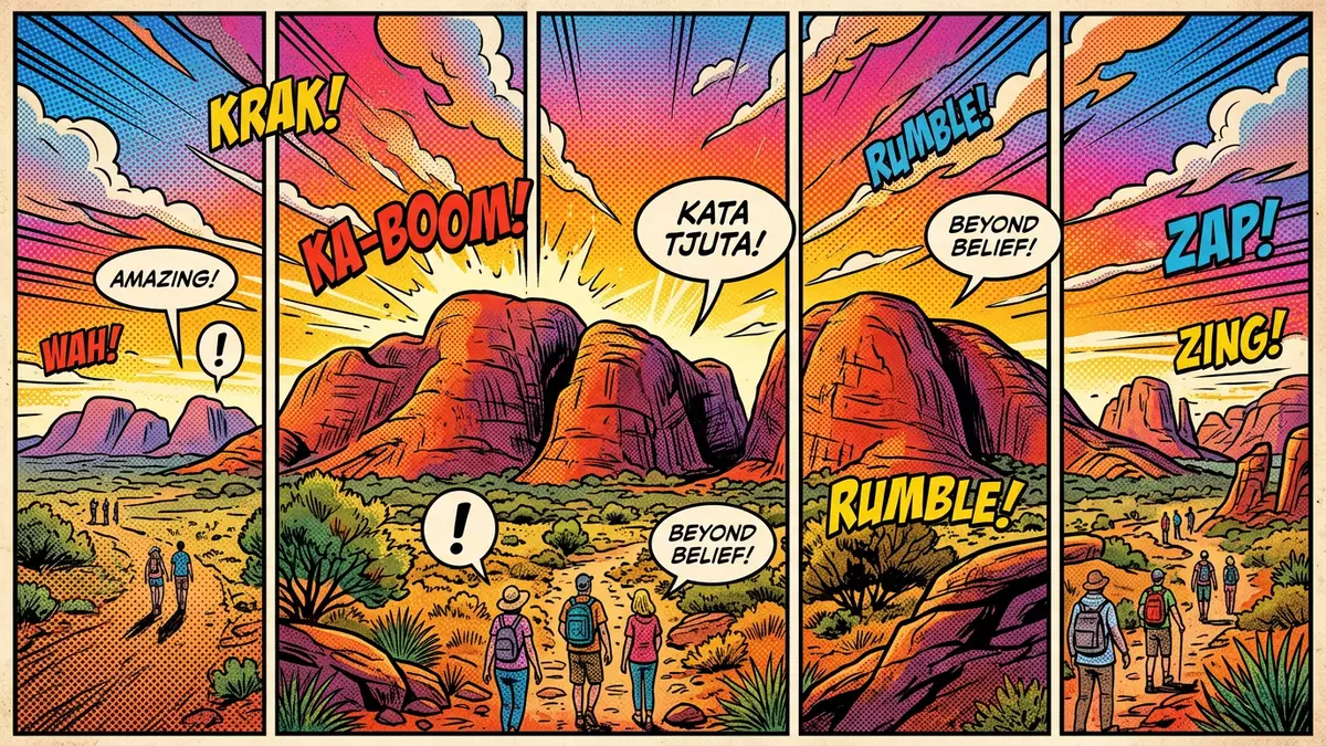
Kata Tjuta, also known in English as the Olgas, forms a cluster of rounded red-rock domes rising from the desert west of Yulara in central Australia. Set within Uluru-Kata Tjuta National Park, the formation is part of a World Heritage landscape that links spectacular geology with the living traditions of the A?angu people.
Many heads in the desert plain
The Pitjantjatjara name Kata Tjuta is often translated as “many heads”, a direct nod to the way the domes push up individually from the otherwise level plain around them.The Pitjantjatjara name The formation lies in the southern part of the Northern Territory, roughly south-west of Alice Springs and close to the service village of Yulara, which acts as the main gateway settlement for the wider park.The nearest town of Yulara
From the highway the individual domes initially blend into a single low mountain, but as the road approaches the park entrance, the separation between them begins to stand out. The largest summit, known as Mount Olga, rises several hundred metres above the surrounding plain, so the whole cluster forms a clear landmark on the horizon of the red centre of Australia.Kata Tjuta (Mount Olga) rises
Conglomerate domes shaped by deep time
Geologically, Kata Tjuta differs from the nearby monolith of Uluru, even though both belong to the wider Amadeus Basin. The domes are made of conglomerate, a sedimentary rock where cobbles and boulders of granite, basalt and other stones are cemented together by a coarse sandy matrix, then stained by iron-rich minerals to give the formation its characteristic reddish tones.The domes are composed of conglomerate The Amadeus Basin itself developed during the late Proterozoic and early Palaeozoic eras, and the rock that makes up Kata Tjuta has been dated to around 600 million years ago, tying it to the tectonic upheavals of the Petermann Orogeny.The domes are made of the sedimentary rock conglomerate
Over geological time, thick layers of debris derived from uplifted ranges were compacted into what is known as the Mount Currie Conglomerate, then tilted and exposed by erosion. At Kata Tjuta this long history is legible in the rounded profiles of the domes and the steep-sided valleys between them, where bands of different clast sizes appear in cross-section and the coarse grains stand out underfoot.The Mount Currie Conglomerate For visitors more familiar with sandstone escarpments or limestone karst, the sheer scale of these conglomerate masses can be a surprise, as the scattered stones have been fused by pressure into a single continuous landform.
A World Heritage landscape of rock and story
Kata Tjuta stands within Uluru-Kata Tjuta National Park, which covers a large expanse of arid ecosystems in central Australia and holds dual recognition on the UNESCO World Heritage List for both natural and cultural values.Uluru-Kata Tjuta National Park is inscribed on the World Heritage List The park first gained World Heritage status for its geological formations, plants and animals in 1987, then in 1994 its cultural landscape was also inscribed, acknowledging the long relationship between the land and its A?angu custodians.The park was first added to the list in 1987
For A?angu, Kata Tjuta is bound into Tjukurpa, sometimes translated as law or creation stories, and many specific features of the domes and valleys are linked to particular ancestral beings. Some areas are considered sensitive, so access and photography are regulated in line with cultural protocols, and park information gently directs visitors towards routes and viewpoints that respect these long-standing obligations. The listing as a cultural landscape emphasises this fusion of landform and meaning, presenting the domes not only as striking geological features but also as elements in a continuing cultural and spiritual geography.
Visiting Kata Tjuta: what travellers from Western Europe should know
- Kata Tjuta lies within Uluru-Kata Tjuta National Park in the Northern Territory of Australia, west of the better-known Uluru and within reach of the desert settlement of Yulara, which concentrates most visitor services in the area.
- The terrain around the domes is arid and mostly treeless, with walking paths crossing rocky ground and sections of uneven surface; some routes enter narrow valleys where the walls rise steeply on either side.
- Summer daytime temperatures in this part of central Australia can be high, and much of the approach to the domes is exposed, so shade on the trails comes mainly from the landforms themselves rather than vegetation.
- The official language of Australia is English and the currency is the Australian dollar; entry requirements depend on your nationality, UK travellers can check the FCDO travel advice at gov.uk/foreign-travel-advice, Irish travellers the Department of Foreign Affairs at ireland.ie.
Searching for Kata Tjuta on social platforms
These links open searches for Kata Tjuta on each platform.
Frequently asked questions about Kata Tjuta
Where is Kata Tjuta located?
Kata Tjuta stands in Uluru-Kata Tjuta National Park in the Northern Territory of Australia, west of Uluru and within reach of the township of Yulara.
What should visitors expect on a visit?
Visitors encounter a cluster of rounded red-rock domes rising from arid desert, with signposted walking routes crossing rocky ground and entering narrow valleys between high walls.
What makes Kata Tjuta distinctive?
Kata Tjuta combines massive conglomerate domes, formed from ancient debris deposits, with its role in A?angu Tjukurpa, and forms part of a dual-listed World Heritage landscape.


