
Kapadokya where volcanic rock becomes architecture
Published on 09/22/2026 at 09:23 | Editorial responsibility: Rafael Müller, Editor-in-Chief AD HOC NEWS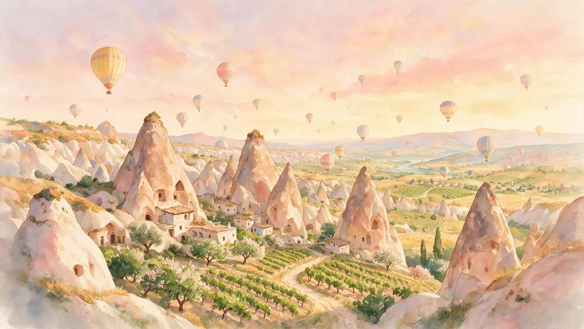
Kapadokya is a landscape in central Anatolia where volcanic rock forms ridges, valleys and pinnacles around Göreme. Soft tuff carries churches, dwellings and villages cut into the rock, while underground towns extend the inhabited landscape below ground. The result is a place where geology and architecture occupy the same material.
Kapadokya’s landscape of tuff and fairy chimneys
Kapadokya lies on the central Anatolian plateau, between Nev?ehir, Ürgüp and Avanos. Its scenery consists of volcanic deposits shaped by erosion into valleys, towers, cones and pinnacles known as fairy chimneys. The protected area reaches towards extinct volcanic ranges, including Erciyes Da? at 3,916 m (12,848 ft) and Hasan Da? at 3,253 m (10,673 ft). Central Anatolian plateau
The visible forms are made largely from volcanic tuff, a relatively soft rock created from consolidated ash. Harder volcanic layers remain above parts of the tuff, while water, wind and frost have removed surrounding material. Valleys cut through the plateau, exposing coloured walls, narrow ravines and isolated rock pillars.
Göreme’s churches carved into the rock
Göreme gives Kapadokya its clearest meeting of natural form and human craft. Rock-hewn sanctuaries, cells and dwellings occupy the valley and its surroundings. The earliest monastic activity is traditionally dated to the 4th century, when Christian communities inhabited cells excavated in the rock.
After the Byzantine Iconoclastic period, churches received figurative paintings in strong colours. Tokal? Kilise and El Nazar Kilise date from the 10th century, while St. Barbara Kilise and Sakl? Kilise belong to the 11th century. Elmal? Kilise and Karanl?k Kilise date from the end of the 12th century and the beginning of the 13th century. rock-hewn sanctuaries
The churches preserve painted scenes of Christ, disciples and saints. Their interiors are not separate from the landscape around them: the same tuff appears as cliff, chamber, passage and carved surface. Göreme therefore presents Byzantine religious art within a geological setting rather than inside freestanding masonry buildings.
From valley settlements to a World Heritage landscape
Kapadokya contains evidence of human settlement from the 4th century onwards, including troglodyte villages, dwellings and underground towns. Kaymakl? and Derinkuyu are among the named subterranean settlements within the wider protected property. Their passages, chambers and shared spaces form a second layer of settlement beneath the valleys.
Göreme National Park and the Rock Sites of Cappadocia entered the UNESCO World Heritage List in 1985. The designation recognises both the erosional landforms and the rock-hewn sanctuaries associated with post-Iconoclastic Byzantine art. Cappadocia’s historical setting
The wider region also carries older names and histories. Cappadocia appears as a recognised district in the 6th century BC, later becoming part of Persian, Roman, Byzantine and Seljuk political worlds. In 17 CE, Emperor Tiberius annexed Cappadocia to the Roman Empire. The surviving monuments belong to a much longer sequence than the tourist image of fairy chimneys suggests.
Visiting Kapadokya: what travellers from Western Europe should know
- Göreme lies in Nev?ehir Province, amid the central Anatolian valleys. Nev?ehir Kapadokya Airport and Kayseri Erkilet Airport serve the region, while long-distance coaches reach Nev?ehir and local buses continue towards Göreme.
- The terrain consists of tuff valleys, uneven rock surfaces, steps and passages. Churches and underground settlements include narrow interiors, stairs and changing levels.
- Göreme connects with named settlements including Uçhisar, Çavu?in, Ürgüp and Avanos by local road transport. The official language is Turkish and the currency is the Turkish lira.
- Kapadokya’s high plateau has hot, dry summers and cold winters. Snow can cover the volcanic formations and valley floors during winter weather.
- Entry requirements depend on your nationality; UK travellers can check the FCDO travel advice at gov.uk/foreign-travel-advice, Irish travellers the Department of Foreign Affairs at ireland.ie.
Searching for Kapadokya on social platforms
These links open searches for Kapadokya on each platform.
Frequently asked questions about Kapadokya
Where is Kapadokya?
Kapadokya is in central Anatolia, in present-day Turkey, with Göreme among its principal settlements. The protected landscape extends between Nev?ehir, Ürgüp and Avanos.
What can visitors expect in Göreme?
Visitors encounter volcanic tuff formations, valleys, rock-cut churches, dwellings and passages. The terrain includes uneven surfaces, stairs and enclosed underground spaces.
What makes Kapadokya distinctive?
Kapadokya combines fairy chimneys and eroded volcanic valleys with Byzantine sanctuaries and subterranean settlements. Göreme National Park and the Rock Sites of Cappadocia received World Heritage status in 1985.


