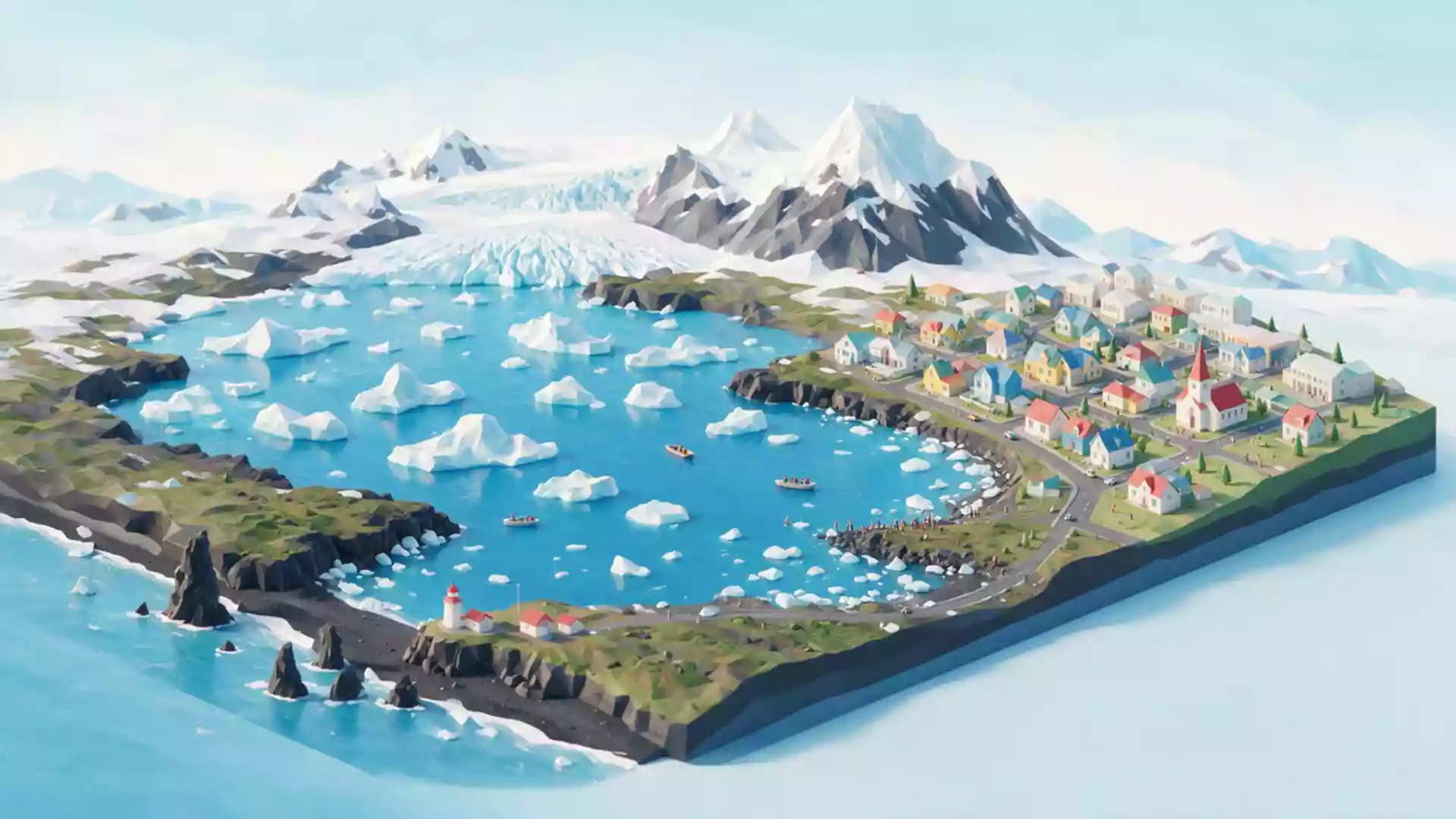
Jokulsarlon glacier lagoon and the ice of Vatnajokull
Published on 09/08/2026 at 17:19 | Editorial responsibility: Rafael Müller, Editor-in-Chief AD HOC NEWS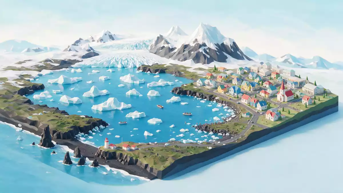
Jokulsarlon is a glacier lagoon on Iceland’s south-eastern coast, where icebergs that have broken from the Breidamerkurjokull glacier drift slowly across deep, dark water towards the Atlantic Ocean. Fed by one of the outlet glaciers of Vatnajokull, Europe’s largest ice cap, the lagoon has become a striking meeting point between moving ice, tidal water and the low coastal plain east of Hofn.
Ice, depth and a changing lagoon
Jokulsarlon is a glacial lake formed at the foot of the Breidamerkurjokull glacier tongue, which descends from the main Vatnajokull ice cap towards the sea on Iceland’s south coast.Fed by Breidamerkurjokull the lagoon has expanded as the glacier has retreated inland, taking up a growing area of the coastal plain and creating a band of water between the ice and the open ocean.Jokulsarlon glacial lagoon The lake is notably deep, reaching around 248 m (814 ft) in places, which makes it the deepest lake in Iceland and gives its dark surface a distinctive, inky appearance against the paler ice.
The lagoon covers a sizeable area on the coastal fringe south of Vatnajokull, with figures in common use placing its surface at tens of square kilometres as the ice margin has continued to shift.Water now covers roughly 25 square kilometres Its waters are a mixture of glacial meltwater and sea water, because Jokulsarlon connects to the Atlantic through a short river channel that cuts through the low-lying Breidamerkursandur outwash plain. Tides move in and out through this channel, and smaller ice blocks are carried seaward, where waves work them into rounded pieces of clear and milky ice along the adjacent black-sand shore.
Vatnajokull National Park and Diamond Beach
Jokulsarlon lies within Vatnajokull National Park, a protected landscape that covers the ice cap itself and large areas of the surrounding mountains and coastal lowlands.Vatnajokull National Park area The lagoon occupies a narrow basin between the glacier snout and the Atlantic, and Route 1, Iceland’s Ring Road, crosses the outlet river on a low bridge, giving road travellers a direct view of icebergs drifting under the road towards the sea. On one side of the bridge lies the main lagoon shore, with viewpoints over the water and the face of Breidamerkurjokull in the distance; on the other lies Breidamerkursandur, the broad expanse of black volcanic sand that has become known as Diamond Beach.
Diamond Beach takes its informal name from the hundreds of ice fragments that collect along the shoreline after leaving the lagoon, scattering the dark sand with shapes of transparent and blue-white ice. At low tide, these blocks stand clear of the water and catch the low-angle light that characterises the latitude, while at other times waves move around them and begin to break them down. The contrast between the smooth volcanic grains and the angular ice is one of the most widely recognised images of Jokulsarlon and its surroundings.Diamond Beach on Breidamerkursandur Together, the lagoon and the beach form a small, self-contained landscape unit within the wider national park, linking glacier, river, lagoon and ocean in a short sequence that is easy to grasp on the ground.
Icebergs, wildlife and the feel of the shore
The most striking feature of Jokulsarlon is the presence of free-floating icebergs, many of them shaped into irregular towers, slabs and broken ridges as they calve from Breidamerkurjokull and tilt in the deep water. Some ice blocks are bright white, others streaked with ash from historical volcanic eruptions, and some carry bands of compressed blue ice that appear when older layers reach the surface. Close to the shore, smaller pieces drift among the larger bergs, and occasional collisions set the larger blocks turning slowly, revealing fresh surfaces to the water.
The lagoon’s mixture of fresh and salt water, and its connection to the sea, supports a modest amount of wildlife around the ice. Atlantic seals are a regular sight in and near Jokulsarlon, using the quieter parts of the lagoon and the sheltered stretches of the outlet river to rest on ice blocks or to hunt fish in the cold water.Seals and drifting icebergs Seabirds patrol the water surface and the river mouth, and on the black-sand beach, traces of the sea’s interaction with the ice are visible in the lines of kelp, driftwood and scattered ice left by previous tides. Standing on the shore, visitors are close enough to hear the quiet movement of the lagoon and, on days of calving, the distant sound of ice breaking away from the glacier front.
Visiting Jokulsarlon: what travellers from Western Europe should know
- Jokulsarlon lies beside Route 1 on Iceland’s south-east coast, between the Skaftafell area and the town of Hofn, and is reached by road along the Ring Road from Reykjavik and other settlements.
- The lagoon shore is uneven and consists of gravel, sand and low mounds of glacial deposits, with short climbs up banks to reach viewpoints and a stretch of black-sand beach at Breidamerkursandur.
- Weather conditions can change quickly on this exposed coastal plain, and strong winds, rain and sea spray are common around the lagoon and Diamond Beach.
- The official language is Icelandic and the currency is the Icelandic krona.
- Entry requirements depend on your nationality; UK travellers can check the FCDO travel advice at gov.uk/foreign-travel-advice, Irish travellers the Department of Foreign Affairs at ireland.ie.
Searching for Jokulsarlon on social platforms
These links open searches for Jokulsarlon on each platform.
Frequently asked questions about Jokulsarlon
Where is Jokulsarlon located in Iceland?
Jokulsarlon is on the south-eastern coast of Iceland beside Route 1, between Skaftafell and Hofn, within the coastal section of Vatnajokull National Park.
What should visitors expect when they reach the lagoon?
Visitors find a deep glacial lake with drifting icebergs, a shore of gravel and black sand, low viewpoints over Breidamerkurjokull and access to the nearby black-sand Diamond Beach.
What makes Jokulsarlon distinctive among Icelandic landscapes?
Jokulsarlon is distinctive for its combination of deep glacial water, floating icebergs, the direct link to the Atlantic via a short river and the black-sand Diamond Beach filled with ice fragments.