
Jokulsarlon and the ice floating beneath Vatnajokull
Published on 09/24/2026 at 03:53 | Editorial responsibility: Rafael Müller, Editor-in-Chief AD HOC NEWS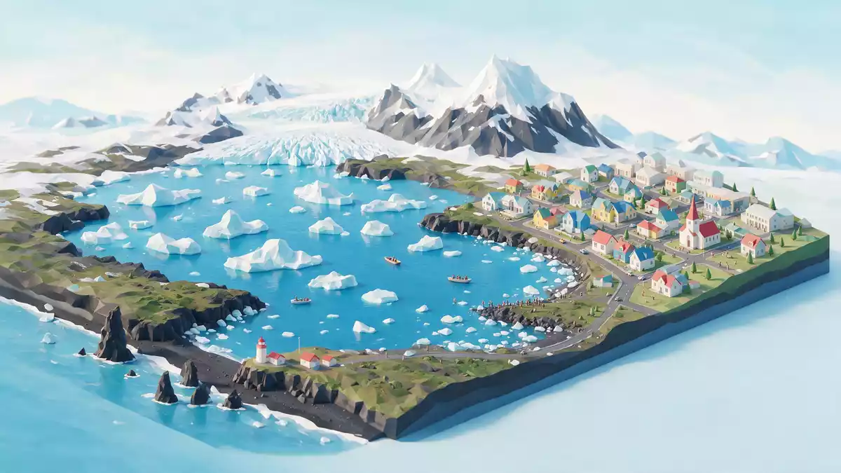
Jokulsarlon is a glacial lagoon on Iceland’s south-east coast, where ice from Breidamerkurjokull floats between Vatnajokull and the Atlantic Ocean. The lagoon’s defining view is a moving field of icebergs, set against black volcanic sand and the broad ice cap beyond.
Its story is written in the landscape itself. Jokulsarlon began forming in the 1930s as Breidamerkurjokull retreated, leaving meltwater and calved ice in a deep basin.
Jokulsarlon: a lagoon filled with moving ice
Jokulsarlon is fed by Breidamerkurjokull, an outlet glacier of Vatnajokull. Ice breaks from the glacier front and enters the lagoon as floating blocks, ranging from small fragments to large blue-white masses.
The water reaches the Atlantic through the Jokulsa river and a short coastal channel. Tidal movement affects the lagoon, giving it both glacial and marine characteristics. The name Jokulsarlon translates from Icelandic as “glacial river lagoon”.
The lagoon lies close to sea level, while its water extends into a basin shaped by glacial activity. Its maximum depth is recorded as 284 metres (932 ft), making it Iceland’s deepest lake. A NASA Earth Observatory description records its formation during the retreat of Breidamerkurjokull.
Breidamerkurjokull and the making of a young lake
Jokulsarlon is young in geological terms. The lagoon began taking shape around 1935, when warmer conditions accompanied the retreat of Breidamerkurjokull from the coast.
Before that change, the glacier reached much farther towards the Atlantic. As the ice front withdrew, meltwater collected in the hollow behind it. Icebergs then became a permanent feature of the water surface, linking the glacier’s edge with the sea.
The lagoon has expanded since the twentieth century. Published measurements differ because its outline changes with glacial retreat, water levels and the areas included in each survey. Values above 18 square kilometres are recorded for its surface area, while other surveys give approximately 25 square kilometres.
That changing outline is part of Jokulsarlon’s physical identity. The shore does not form a fixed, traditional lake margin. It meets ice, meltwater, volcanic sand and the open sea in a landscape shaped by continuing glacial movement.
Vatnajokull forms the high ice-covered backdrop. The ice cap is connected to several outlet glaciers, including Breidamerkurjokull, whose front faces the lagoon. The USGS landscape record describes the lagoon as a tidal inlet formed by glacial processes.
Black sand, blue ice and the Atlantic coast
Jokulsarlon’s colour comes from its materials. White snow, pale ice, deep blue ice and dark volcanic sand appear together around the lagoon. The icebergs carry layers formed inside the glacier, and some pieces show a blue tone where compacted ice absorbs more red light.
Ice leaves the lagoon through the channel towards the Atlantic. Smaller pieces can reach the coast, where they rest on black sand at Breidamerkursandur. This shoreline is known as Diamond Beach because clear ice fragments contrast with the dark beach.
The lagoon and coast form a connected landscape rather than isolated sights. The glacier supplies ice, the lagoon holds it temporarily, the river carries water seaward, and the Atlantic receives both water and floating fragments.
Jokulsarlon lies within Vatnajokull National Park. The park covers extensive glacial, volcanic and coastal landscapes across south-east Iceland. A geographical overview of Jokulsarlon records its position at the head of Breidamerkurjokull and its connection with the Atlantic.
The setting gives the lagoon a clear visual sequence: ice cap, glacier tongue, floating ice, dark shore and ocean. Each element belongs to the same glacial system, but each has a distinct texture and colour.
Visiting Jokulsarlon: what travellers from Western Europe should know
- Jokulsarlon lies beside Route 1 on Iceland’s south-east coast, between the national park landscapes and Hofn. The Ring Road crosses the outlet near the lagoon.
- The shore combines gravel, volcanic sand, shallow water and ice. Wind, uneven ground and slippery surfaces can occur close to the water’s edge.
- Breidamerkurjokull is visible beyond the lagoon, while Diamond Beach lies on the Atlantic side of the outlet.
- The official language is Icelandic and the currency is the Icelandic króna.
- Jokulsarlon is a glacial environment. Icebergs move, shorelines vary and the water connects with the sea.
Searching for Jokulsarlon on social platforms
These links open searches for Jokulsarlon on each platform.
Frequently asked questions about Jokulsarlon
Where is Jokulsarlon?
Jokulsarlon is on Iceland’s south-east coast beside Route 1, near Hofn and within Vatnajokull National Park.
What can visitors expect at the lagoon?
The shoreline offers views of floating icebergs, Breidamerkurjokull, dark volcanic sand and the waterway leading towards the Atlantic.
What makes Jokulsarlon distinctive?
It is a young glacial lagoon formed during the retreat of Breidamerkurjokull, with ice moving from the glacier through the lagoon towards the sea.


