
Jasper National Park, where glaciers, lakes and peaks share one vast landscape
Published on 09/18/2026 at 18:30 | Editorial responsibility: Rafael Müller, Editor-in-Chief AD HOC NEWS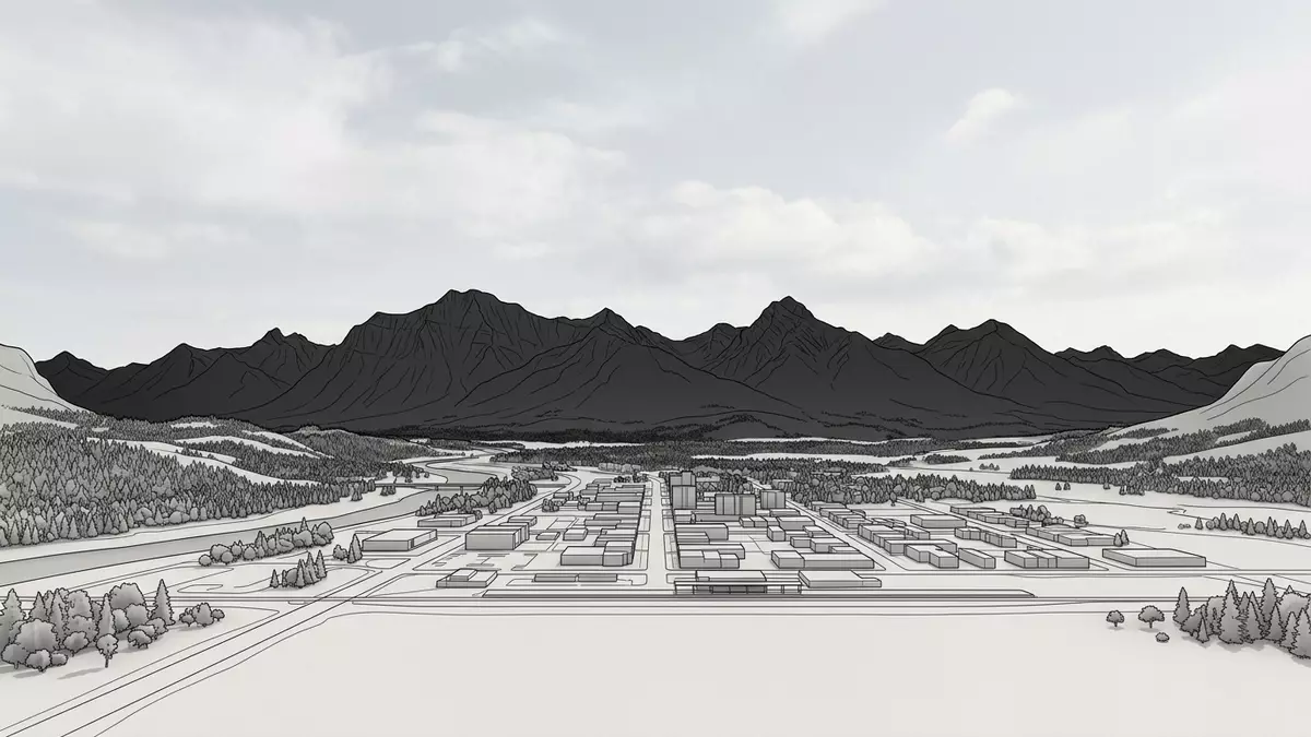
Jasper National Park in Alberta sets the town of Jasper inside a wide Rocky Mountain landscape of ridges, glaciers, river valleys and lakes that share a single protected space. Established in the early twentieth century, it forms part of the Canadian Rocky Mountain Parks that were inscribed as a UNESCO World Heritage Site in 1984 for their combination of rugged peaks, extensive icefields and varied alpine environments.
Mountains, icefields and the scale of the Canadian Rockies
Jasper National Park occupies more than 10,000 square kilometres of the Rocky Mountains on the eastern flank of the range in western Alberta, north of Banff National Park.Jasper spans 4,200 square miles The park stretches along the eastern slopes from the British Columbia border towards the foothills, giving it a long axis of connected valleys and ranges.Jasper lies in western Alberta, north of Banff Much of this area is made up of the Front Ranges of the Rockies, with additional high ground reaching to the Continental Divide.
Within Jasper National Park, the mountains form parallel ranges that generally run northwest to southeast, creating a repeating pattern of ridges and intervening valleys.The ranges run northwest to southeast Elevations vary from under 1,000 m (3,281 ft) in the Athabasca Valley near the eastern entrance to nearly 3,800 m (12,467 ft) at the summit of Mount Columbia, the highest peak in Alberta and one of the dominant summits in the park.Mt. Columbia reaches nearly 3,800 metres This vertical range shapes a clear progression from forested valley floors to open alpine ridges and glaciated plateaus.
Glaciers, rivers and lakes in a shared watershed
Jasper National Park contains a significant portion of the Columbia Icefield, an extensive accumulation of glacial ice astride the Continental Divide at the southern end of the park.The Columbia Icefield lies on the Alberta–British Columbia border The icefield sends tongues of ice down into surrounding valleys, including well-known outlet glaciers that reach close to the main highway corridor. From these ice masses, meltwater feeds several major rivers that flow towards different ocean basins, making the high plateau a hydrological crossroads of North America.Waters from the icefield drain to three oceans
The Athabasca River, rising from the Columbia Icefield, runs for many kilometres through Jasper National Park and drains most of its area, joined by tributaries such as the Miette and Maligne rivers.The Athabasca and its tributaries drain much of the park Other sectors of the park form the headwaters of the Brazeau and Smoky rivers, which leave the mountains through separate valleys.Jasper’s landscape includes canyons and river valleys Along these watercourses and their side valleys lie lakes of varying sizes, waterfalls plunging through narrow gorges and areas of hot springs that mark geothermal activity within the mountain belt.
Rock, vegetation zones and the town of Jasper
The bedrock of Jasper National Park records a long span of geological time, with layers ranging from Precambrian formations to younger Palaeozoic units such as Devonian and Mississippian limestones.The park’s rocks span Precambrian to Mississippian ages Many of the main ranges are built from coarse sandstone, limestone, shale and quartzite, including a distinctive Gog quartzite that forms resistant cliffs in several sectors.Sandstone, limestone, shale and quartzite dominate the ranges Over geological eras, episodes of folding, faulting and glaciation have carved this varied rock into sharp peaks, hanging valleys and broad U-shaped troughs that together define the park’s relief.
Across this terrain, Jasper National Park can be divided into montane, subalpine and alpine vegetation zones, each associated with a band of elevation.The park has montane, subalpine and alpine zones The montane valleys carry mixed forests and open river benches, while the subalpine slopes support denser conifer stands and meadows that give way to alpine tundra, bare rock and ice near the summits. Within the Athabasca River valley sits the townsite of Jasper, a specialised municipality that serves as the park’s main service centre and headquarters.Jasper is the townsite and park headquarters The town lies near the confluence of the Athabasca and Miette rivers, close to a cluster of accessible lakes and within sight of mountain ranges that frame the valley on several sides.
Visiting Jasper National Park: what travellers from Western Europe should know
- Jasper National Park lies in western Alberta along the eastern slopes of the Rocky Mountains, with the town of Jasper on the Athabasca River connected by Highway 16 and Highway 93.
- The landscape includes substantial elevation changes from valley floors below 1,000 m (3,281 ft) to peaks approaching 3,800 m (12,467 ft), with mountain trails, canyon paths and viewpoints that can involve steep gradients.
- Lakes, rivers and glacial areas are spread across the park, so many viewpoints and short walks begin near watercourses or shorelines where terrain underfoot can vary between forest paths, gravel and rock.
- The official languages of Canada include English and French and the currency is the Canadian dollar (CAD).
- Entry requirements depend on your nationality; UK travellers can check the FCDO travel advice at gov.uk/foreign-travel-advice, Irish travellers the Department of Foreign Affairs at ireland.ie.
Searching for Jasper National Park on social platforms
These links open searches for Jasper National Park on each platform.
Frequently asked questions about Jasper National Park
Where is Jasper National Park located?
Jasper National Park lies in western Alberta on the eastern slopes of the Canadian Rockies, with the town of Jasper in the Athabasca River valley.
What kind of landscape can visitors expect?
The park combines parallel mountain ranges, broad river valleys, glaciers, canyons, lakes and waterfalls, with elevation rising from low montane forests to high alpine ridges.
What makes Jasper National Park distinctive among the Canadian Rocky Mountain Parks?
Jasper spans a particularly large area of protected Rocky Mountain terrain, including the Columbia Icefield, major river headwaters and a full sequence from montane valley floors to glaciated summits.


