
Isla del Sol, Lake Titicaca’s island of terraces and trails
Published on 09/10/2026 at 21:56 | Editorial responsibility: Rafael Müller, Editor-in-Chief AD HOC NEWS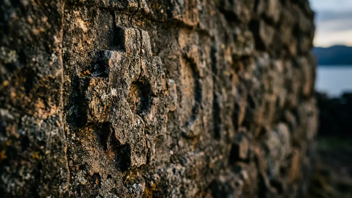
On the Bolivian side of Lake Titicaca, opposite the small town of Copacabana, Isla del Sol lifts out of the water as a broad spine of terraces, paths and scattered hamlets. The island sits in the La Paz Department and has long been associated with pre-Columbian cultures of the Andes, giving a visit here a mix of high-altitude lake scenery and visible traces of ritual life.
Stone terraces above a high Andean lake
Isla del Sol lies in the southern part of Lake Titicaca, in the eastern sector of the lake that belongs to Bolivia, just north-west of the Copacabana peninsula. The island has an area of about 14.3 km² (5.5 sq mi), making it the largest island in Lake Titicaca and giving it a presence on the lake that is immediately apparent from the shore of Copacabana.largest island in Lake Titicaca The lake itself lies at roughly 3,800 m (12,467 ft) above sea level, so every view from the island’s ridges combines bright water with the dry, thin air of the high Andes.lake level altitude
The terrain of Isla del Sol rises and falls in long slopes rather than steep cliffs, cut into terraces built in stone that support small patches of agriculture and line many of the ridges. These terraces run above coves and inlets along the shore, where simple landing points stand for local boats. Three main Aymara-speaking communities divide the island into broad zones: Yumani in the south, Cha’lla near the centre and Challapampa to the north.three small communities Between them, stone paths and earthen tracks follow the higher ground, giving long views across Lake Titicaca and towards snow-covered peaks on the distant mainland.
Archaeological sites in an Inca ritual landscape
Long before Copacabana grew into a lakeside town, Isla del Sol “Island of the Sun” had a role as a ritual centre in Andean culture. Inca mythology associates the island with the origins of the sun and with early figures of the Inca line, and archaeologists have documented numerous sites that reflect pre-Columbian settlement and ceremony.pre-Columbian settlement centre The distribution of ruins across the island, combined with pathways along the ridge, helps visitors understand that this was a landscape shaped not only for agriculture but also for gatherings and processions.
Modern surveys count dozens of visible archaeological locations on Isla del Sol, including structural remains and carved features among the terraces and slopes. Local accounts speak of over 80 Incan ruins and related structures scattered around the island’s communities.over 80 Incan ruins Land in and around these sites belongs to local Aymara families, whose presence gives daily life to a place that might otherwise feel only archaeological: herding, small fields and houses built in simple materials continue alongside stones laid down centuries ago.Aymara-speaking communities
Ridge-top trails and car-free village life
For visitors, one of the most striking aspects of Isla del Sol is that it is car-free. Boats are the only means of reaching the island, and once ashore, movement takes place along footpaths and stairways that link the main communities and reach down to small piers.small, car-free island A recognised ridge-top trail connects Challapampa in the north with Yumani in the south, running along the higher ground and crossing areas where terraces and ruins sit close together.ridge-top trail description
The altitude of the island means that even moderate slopes can feel demanding, and stairways built in stone climb from the shore up to plateau paths in long flights. Approaching the hamlet of Yumani from the lake involves a climb on steps that pass small gardens and simple accommodation, while paths near Challapampa cross open ground with views towards the northern end of Lake Titicaca.high points altitude The absence of vehicles leaves space for walking to set the rhythm of a visit, whether along the main ridge trail or on shorter routes between communities.
Visiting Isla del Sol: what travellers from Western Europe should know
- Isla del Sol lies in Lake Titicaca just off the Copacabana peninsula in western Bolivia, and access is by boat from Copacabana’s lakeside.
- The island’s paths follow ridge lines and long stairways; reaching the higher villages involves sustained uphill walking at high altitude.
- Winter nights at lake level can be cold; layers suited to an Andean climate help when moving between sunlit slopes and shaded terraces.
- The official language is Spanish and the currency is the Bolivian boliviano.
- Entry requirements depend on your nationality; UK travellers can check the FCDO travel advice at gov.uk/foreign-travel-advice, Irish travellers the Department of Foreign Affairs at ireland.ie.
Searching for Isla del Sol on social platforms
These links open searches for Isla del Sol on each platform.Frequently asked questions about Isla del Sol
Where is Isla del Sol in relation to Copacabana?
Isla del Sol lies in Lake Titicaca just north-west of the Copacabana peninsula, in Bolivia’s La Paz Department.
What should visitors expect during a visit?
Visitors encounter a car-free island of stone terraces, high-altitude paths between small Aymara communities and a number of visible archaeological sites.
What makes Isla del Sol distinctive among lake islands?
Its combination of being Lake Titicaca’s largest island, its altitude above 3,800 m (12,467 ft) and its dense spread of pre-Columbian ruins gives it a character closely tied to Andean culture.


