
Isla del Sol and the terraces of Lake Titicaca
Published on 09/23/2026 at 21:26 | Editorial responsibility: Rafael Müller, Editor-in-Chief AD HOC NEWS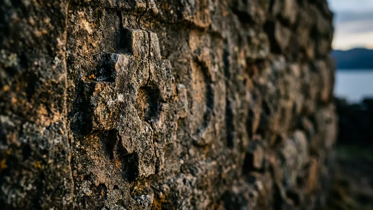
Isla del Sol rises from the southern waters of Lake Titicaca, near Copacabana in Bolivia. Rocky hills, agricultural terraces and roofless stone ruins form a landscape where the island’s physical shape and its archaeological past remain closely visible.
Isla del Sol: an island shaped by terraces
The island belongs to Bolivia’s La Paz Department and lies in the southern part of Lake Titicaca. The lake surface is about 3,810 m (12,500 ft) above sea level, while the island’s settlements and cultivated slopes rise above the water. Its ground is rocky and hilly, with eucalyptus trees, narrow paths and terraces cut across inclines.
Isla del Sol measures about 9.6 km in length and 4.6 km across at its widest point. Its area is about 14.3 km². There are no paved roads or motor vehicles on the island, so villages, fields and archaeological places connect through footpaths. the island’s physical layout remains central to any visit.
From early settlement to the Inca pilgrimage landscape
Archaeological evidence places human activity on Isla del Sol around 2200 BC. Occupation continued through several Andean periods, including the Tiwanaku era, before the island became an important centre within the Inca world.
More than 80 archaeological ruins are recorded across the island, with many dating from the fifteenth century. Named remains include Chinkana, Pillkukayna, Q’asa Pata and Titi Qala, also known as Titikala. Excavated obsidian from Ch’uxu Qullu links the island’s early inhabitants with exchange networks reaching the Colca region of Peru. Lake Titicaca’s cultural landscape includes Isla del Sol among its important archaeological places.
Yumani, Challapampa and the island’s sacred places
Yumani occupies the southern part of Isla del Sol. Its landmarks include the Inca Stairway, a stone ascent from the landing place, and a spring known as the Sacred Fountain. Terraced slopes surround the settlement, with paths continuing towards the island’s higher ground.
Challapampa lies near the northern end. The Chinkana complex contains interconnected stone spaces, while Titi Qala is a prominent rock associated with Inca origin traditions. Pillkukayna stands in the south as another surviving Inca structure. The island’s sacred geography also includes ceremonial places and a site museum at Challapampa with material recovered from underwater archaeological work. the island’s archaeological remains extend through villages, terraces and paths.
Visiting Isla del Sol: what travellers from Western Europe should know
- Isla del Sol is reached by passenger boat from Copacabana on the Bolivian shore of Lake Titicaca. Boats serve the southern landing near Yumani and the northern landing near Challapampa.
- The island has no paved roads or motor vehicles. Walking routes cross rocky ground, steep slopes, stone steps and agricultural terraces.
- Yumani and Challapampa are the principal settlements, while Challa lies between them on the eastern side of the island.
- The official languages of Bolivia include Spanish, Aymara, Quechua and Guaraní. The national currency is the boliviano.
- Entry requirements depend on your nationality; UK travellers can check the FCDO travel advice at gov.uk/foreign-travel-advice, Irish travellers the Department of Foreign Affairs at ireland.ie.
Searching for Isla del Sol on social platforms
These links open searches for Isla del Sol on each platform.Frequently asked questions about Isla del Sol
Where is Isla del Sol?
Isla del Sol lies in the southern part of Lake Titicaca, within Bolivia’s La Paz Department and near the town of Copacabana.
What can visitors expect on the island?
Visitors encounter rocky hills, terraced fields, stone paths, village settlements and archaeological remains reached on foot.
What makes Isla del Sol distinctive?
The island combines an Andean high-altitude landscape with Inca sites and origin traditions centred on Titi Qala, Chinkana and the sun.


