

Hopewell Rocks and the twice-daily sculpted shoreline
Published on 08/22/2026 at 22:41 | Editorial responsibility: Rafael Müller, Editor-in-Chief AD HOC NEWS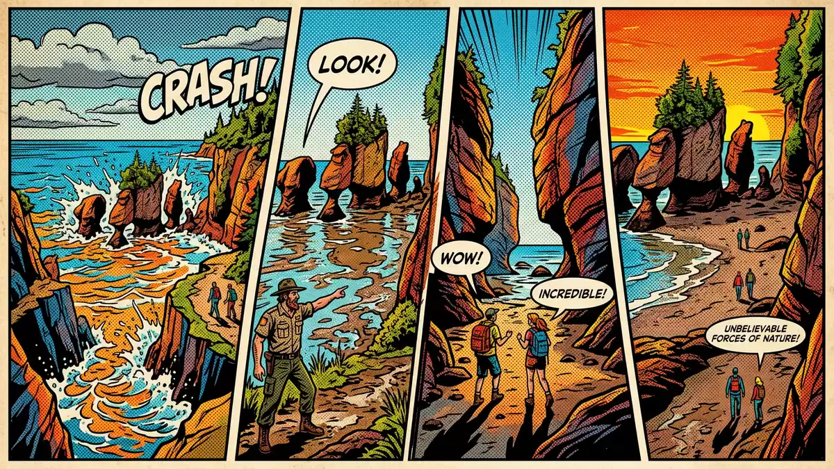
On the shore of the Bay of Fundy in New Brunswick, Hopewell Rocks turns the meeting of land and sea into a slow, twice-daily performance. Along the coast at Hopewell Cape, sandstone columns rise above the bay, their forms reshaped by tides that rank among the highest in the world.
Sandstone towers on the Bay of Fundy
Hopewell Rocks stands on the shore of Shepody Bay, part of the upper Bay of Fundy, in the Canadian province of New Brunswick. The site lies within Hopewell Rocks Provincial Park at Hopewell Cape, where the shoreline curves around a broad tidal estuary.Hopewell Rocks Provincial Park
The formations themselves are sea stacks carved out of sedimentary rock, described as sandstone and conglomerate from the Hopewell Cape Formation, which dates to the Lower Carboniferous period.Hopewell Cape Formation Many of the stacks carry trees and shrubs on their tops, giving rise to the English nickname “flowerpot rocks”. The columns reach heights between about 12 and 21 m (40 and 70 ft), so that their bases can be dry at low tide and surrounded by water when the tide returns.between about 12 and 21 m
A shoreline that changes with the tide
Hopewell Rocks forms part of the shore of the Bay of Fundy, a bay whose tidal range is documented among the greatest in the world.shore of the Bay of Fundy The sea stacks stand on a section of coast where the tidal flats are exposed at low tide and submerged at high tide, so that the same stretch of shore alternates between a broad expanse of wet seabed and a narrow strip of water pressed against the cliffs.broad expanse of wet seabed
At low tide, the sea retreats far enough for visitors to walk on the exposed shoreline between the rock columns, looking up at their overhanging tops and the vegetation that has taken root there.walk on the exposed shoreline When the tide returns, the waterline creeps up the cliffs and around the bases of the stacks, so that the same formations stand as islands in the flooded bay; kayakers use this stage of the tide to paddle between the towers and along the coast.kayakers use this stage The contrast between these two states is one of the clearest expressions of the Bay of Fundy’s tidal range a visitor can see in a single place.
Geology, trails and viewpoints
The geology of Hopewell Rocks is part of a wider story that covers the Hopewell Cape Formation and the sedimentary rocks of this section of coastal New Brunswick. The stacks rise from cliffs composed of layers of sandstone and conglomerate that formed in the Lower Carboniferous era, and the present shapes result from erosion by the Bay of Fundy’s tides combined with weathering from wind, rain and ice.Lower Carboniferous era The narrower sections at the bases of the stacks mark the zone where the tide moves in and out, while the tops preserve thicker caps of rock that support soil and vegetation.
Hopewell Rocks Provincial Park combines access to the shore with walking trails and viewing platforms above the cliffs.Hopewell Rocks Provincial Park combines Paths lead through forested sections of the headland to lookouts facing different groups of stacks along the bay, and stairways link the upper level with the shoreline below. Interpretation panels in the park describe the geology of the Hopewell Cape Formation and the tidal processes that continue to reshape the coast, placing the site within the wider Bay of Fundy region that stretches towards Fundy National Park and the Fundy Trail Parkway.wider Bay of Fundy region
Visiting Hopewell Rocks: what travellers from Western Europe should know
- Hopewell Rocks lies in Hopewell Cape in the Canadian province of New Brunswick, on the shore of the upper Bay of Fundy; the site is signposted from Highway 114.signposted from Highway 114
- The approach from the park entrance to the cliff-top viewpoints follows graded paths, and access to the ocean floor at low tide involves stairways and a shore of firm, sometimes uneven, tidal sediment.
- The surrounding region includes Fundy National Park and the Fundy Trail Parkway, so Hopewell Rocks can be combined with other sections of the Bay of Fundy coast on the same journey.Fundy National Park and the Fundy Trail
- The official language of New Brunswick is English and the currency is the Canadian dollar.
- Entry requirements depend on your nationality; UK travellers can check the FCDO travel advice at gov.uk/foreign-travel-advice, Irish travellers the Department of Foreign Affairs at ireland.ie.
Searching for Hopewell Rocks on social platforms
These links open searches for Hopewell Rocks on each platform.
Frequently asked questions about Hopewell Rocks
Where is Hopewell Rocks?
Hopewell Rocks is on the shore of the Bay of Fundy at Hopewell Cape in New Brunswick, eastern Canada, within Hopewell Rocks Provincial Park.
What should visitors expect on a visit?
Visitors encounter sandstone sea stacks that can be seen both from cliff-top viewpoints and, at low tide, from the exposed shoreline between the formations.
What makes Hopewell Rocks distinctive?
The combination of flowerpot-shaped sea stacks, the Lower Carboniferous rock of the Hopewell Cape Formation and the Bay of Fundy’s exceptional tidal range makes this stretch of coast distinctive.


