Hopewell Rocks and the sculpted tides of the Bay of Fundy
Published on 08/31/2026 at 07:48 | Editorial responsibility: Rafael Müller, Editor-in-Chief AD HOC NEWS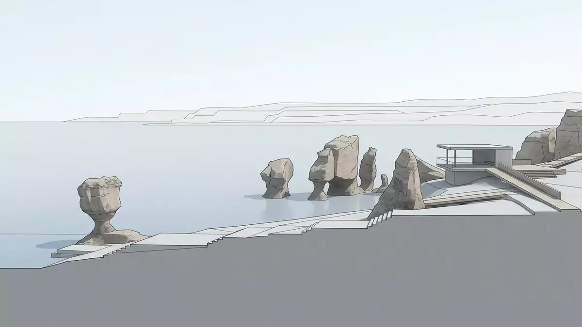
On the shores of the Bay of Fundy at Hopewell Cape in New Brunswick, Canada, Hopewell Rocks presents an Atlantic coastline reshaped by tides on an extraordinary scale. The cliffs and free-standing pillars here are carved from Late Carboniferous sandstone and conglomerate, and the ocean advances and retreats across their bases twice each lunar day.
Flowerpot pillars on a tilted cliff line
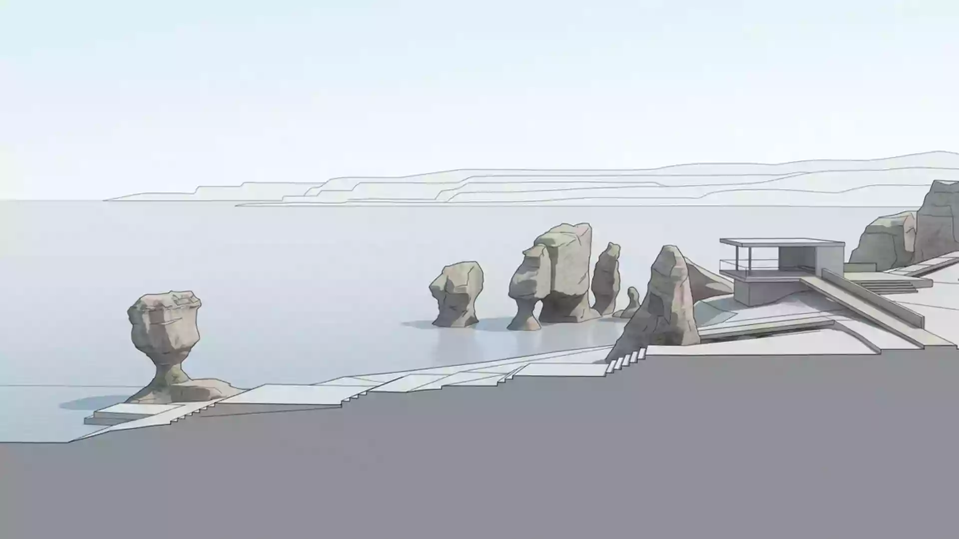
Hopewell Rocks is best known for a group of sea stacks that rise from the base of a steep cliff, their tops supporting trees and shrubs that give them the nickname “flowerpot rocks”. The formations stand along a short stretch of coastline where the cliff has broken into isolated pillars, arches and narrow inlets facing the inner Bay of Fundy.sea stacks caused by tidal erosion occupy the intertidal zone, exposed at low tide and partly submerged when the tide returns.
The rock itself belongs to the Hopewell Cape Formation, a unit of the Mabou Group laid down in the Carboniferous period by rivers flowing from nearby high ground. Coarse conglomerate, finer sandstone and thin mudstone beds are all visible in the pillars, with rounded pebbles set in a reddish matrix beside more uniform bands of sand-sized grains.weathering of the Lower Carboniferous Hopewell Cape Formation has left the cliff line tilted at a noticeable angle, reflecting regional tectonic movements that disturbed the original horizontal layers.
Bay of Fundy tides and the changing shoreline
The Bay of Fundy is noted for its extreme tidal range, and at Hopewell Rocks the sea can rise and fall by up to around 16 m (52 ft) between low and high tide on some days.tides can vary by up to 16 metres The bay’s shape and depth amplify the incoming Atlantic tides, so the bases of the pillars and the surrounding beach are covered by seawater twice in each tidal cycle. At other stages, wide swathes of sea floor fall dry, leaving the pillars standing above firm, dark sand and scattered boulders.
The tidal rhythm has left a sharp visual marker on the rocks. Narrower sections at the bases record where waves and moving ice have cut into softer layers, while the upper parts remain broader and more irregular. Sea caves appear in the cliff where vertical fractures and weaker bands have been eroded back, and some isolated pillars show arches where the tide has worked its way through the rock.tidal action wears away the bases of the cliffs and rock formations The intertidal zone stretches across a broad, gently sloping shore, giving visitors views of both the standing pillars and the cliff behind them.
From Carboniferous rivers to a provincial park shoreline
The story of Hopewell Rocks reaches back nearly 300 million years to the Late Carboniferous, when fast-flowing streams carried sand and pebbles from uplands such as the Caledonia Mountains into a subsiding basin. Over time, the deposits compacted into beds of conglomerate and sandstone, then were tilted and fractured by later tectonic movements. More recent glaciations further shaped the landscape, scouring valleys and leaving meltwater to carve channels and isolate the pillars along the shore.
Hopewell Rocks forms the focus of a provincial park established in the mid-twentieth century to protect this section of the Bay of Fundy coastline and to provide access to the tidal landscape.the park was created in 1958 The park’s trails, viewing platforms and stairways link the cliff-top forest with the shoreline below, where named formations stand close together. The pillars have attracted a range of informal names based on their outlines, and some arches frame views out across the inner bay towards other Fundy coastal landmarks.
Visiting Hopewell Rocks: what travellers from Western Europe should know
- Hopewell Rocks lies on the Bay of Fundy coast at Hopewell Cape in New Brunswick, reached by road inland from the coast and forming part of a cluster of Fundy tourism sites that includes Fundy National Park.
- The shoreline at the base of the cliffs consists of firm intertidal sand and scattered rock, reached by stairways from the forested top of the cliffs; footwear suited to wet sand and uneven rock is important.
- The area experiences marked tidal differences, and the intertidal zone extends across a broad shore; visitors walk on the exposed sea floor at low tide and return via the same access routes as the water advances.
- The official language is English and the currency is the Canadian dollar.
- Entry requirements depend on your nationality; UK travellers can check the FCDO travel advice at gov.uk/foreign-travel-advice, Irish travellers the Department of Foreign Affairs at ireland.ie.
Searching for Hopewell Rocks on social platforms
These links open searches for Hopewell Rocks on each platform.
Frequently asked questions about Hopewell Rocks
Where is Hopewell Rocks located?
Hopewell Rocks is situated at Hopewell Cape on the inner Bay of Fundy coast in the province of New Brunswick in eastern Canada.
What can visitors expect during a visit?
Visitors encounter a forested cliff top with trails and viewing platforms and, at low tide, a wide expanse of exposed sea floor dotted with sea-stack pillars and arches.
What makes Hopewell Rocks distinctive among coastal sites?
Hopewell Rocks combines Late Carboniferous sandstone and conglomerate pillars with one of the world’s most marked tidal ranges, producing a shoreline that looks markedly different at successive stages of the tide.