
Gunung Rinjani on Lombok: Indonesia’s high volcanic massif
Published on 09/10/2026 at 11:03 | Editorial responsibility: Rafael Müller, Editor-in-Chief AD HOC NEWS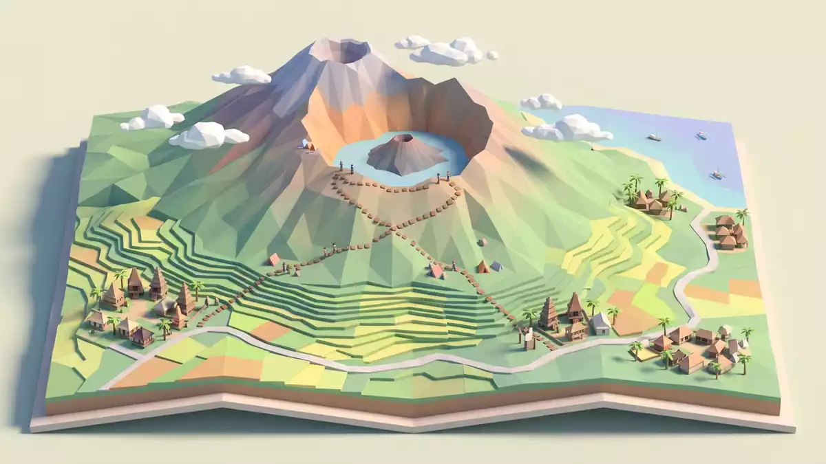
Gunung Rinjani on Lombok in Indonesia is a high volcanic massif whose summit, crater lake and sweeping ridges define the skyline of the island’s northern half. Rising to 3,726 m (12,224 ft), it forms the highest point in West Nusa Tenggara province and is recorded as the second-highest volcano in Indonesia after Kerinci in Sumatra.
The high ridge and its caldera landscape
Gunung Rinjani is an active stratovolcano in the northern part of Lombok, part of the Lesser Sunda Islands chain running east of Bali through southern Indonesia. The mountain’s upper slopes form a long ridge, with the summit area standing above a wide caldera whose walls drop steeply towards the interior basin.active stratovolcano This caldera extends roughly 6 km by 8.5 km (3.7 mi by 5.3 mi), enclosing a high crater lake and younger volcanic cones on the floor.6 km by 8.5 km
The summit of Gunung Rinjani reaches a confirmed elevation of 3,726 m (12,224 ft), placing the mountain well above the surrounding landscape of Lombok and marking the highest point in West Nusa Tenggara province.3,726 m The high ridge forms a broad volcanic massif rather than a single isolated peak, and the upper slopes drop to the caldera rim in cliffs and long scree slopes. Within the caldera, a younger cone known as Gunung Baru Jari rises from the floor, forming the focus of most recorded eruptions since the nineteenth century.Gunung Baru Jari
Segara Anak, the high crater lake
Inside the caldera of Gunung Rinjani lies a crater lake known as Segara Anak, whose name is often translated as “Child of the Sea”. The lake occupies a large part of the basin at an altitude a little over 2,000 m (6,562 ft) above sea level, making it one of Indonesia’s high caldera lakes.surface of Segara Anak Its extent is described as around 6 km across at the widest point, with a maximum depth measured at about 230 m (755 ft), giving the lake a substantial volume within the volcanic amphitheatre.maximum depth
The caldera floor around Segara Anak carries several younger volcanic cones, including the Gunung Baru Jari cone that has produced many historic eruptions. From the lake, the enclosing walls of the caldera rise several hundred metres to the rim, with paths and routes climbing from the crater floor back towards the ridge. The combination of high water basin, post-caldera cones and steep enclosing slopes gives Gunung Rinjani a distinctive interior landscape compared with many other Indonesian volcanoes, where summit craters are often far smaller.
Gunung Rinjani National Park and biosphere designation
The mountain and its surrounding forests are protected within Gunung Rinjani National Park (Taman Nasional Gunung Rinjani), which covers tens of thousands of hectares on northern Lombok and includes both core park land and additional protected forest zones.Gunung Rinjani National Park The wider region, including Lombok Island, has been designated as the Rinjani-Lombok Biosphere Reserve under UNESCO’s Man and the Biosphere Programme, recognising the area’s volcanic landscapes, crater lake, forest types and biodiversity.Rinjani-Lombok Biosphere Reserve
Within the biosphere reserve, the highest peak is Gunung Rinjani at 3,726 m, and the protected zones include savannah, mountain forest and lowland rain forest, with primary forest forming a significant proportion of the area.savannah and forest The national park’s status frames Gunung Rinjani not only as a prominent volcanic massif but also as a central element in a broader protected landscape on Lombok, where volcanic forms, water bodies and forested slopes meet.
Visiting Gunung Rinjani: what travellers from Western Europe should know
- Gunung Rinjani rises in the northern part of Lombok in Indonesia, with approaches starting from towns and villages on the island and paths leading towards the national park boundary.
- The terrain on the mountain includes long ascents on volcanic slopes, sections of loose scree and ridge paths at altitude, with approaches to the caldera rim and descents towards the crater lake.
- Several viewpoints on Lombok offer distant views of Gunung Rinjani’s ridge and summit, including coastal areas on the island where the massif forms a backdrop above lower hills.
- The official language is Indonesian and the currency is the Indonesian rupiah.
- Entry requirements depend on your nationality; UK travellers can check the FCDO travel advice at gov.uk/foreign-travel-advice, Irish travellers the Department of Foreign Affairs at ireland.ie.
Searching for Gunung Rinjani on social platforms
These links open searches for Gunung Rinjani on each platform.Frequently asked questions about Gunung Rinjani
Where is Gunung Rinjani?
Gunung Rinjani stands on Lombok in Indonesia, in the northern part of the island within Gunung Rinjani National Park, in West Nusa Tenggara province.
What kind of mountain is Gunung Rinjani?
Gunung Rinjani is an active stratovolcano with a summit ridge at 3,726 m and a wide caldera containing the high crater lake Segara Anak and younger volcanic cones.
What makes Gunung Rinjani distinctive?
The combination of its high elevation, expansive caldera, crater lake and setting within a national park and UNESCO biosphere reserve gives Gunung Rinjani a distinctive volcanic landscape.


