
Gunung Rinjani and the high volcano landscape of Lombok
Published on 09/05/2026 at 18:17 | Editorial responsibility: Rafael Müller, Editor-in-Chief AD HOC NEWS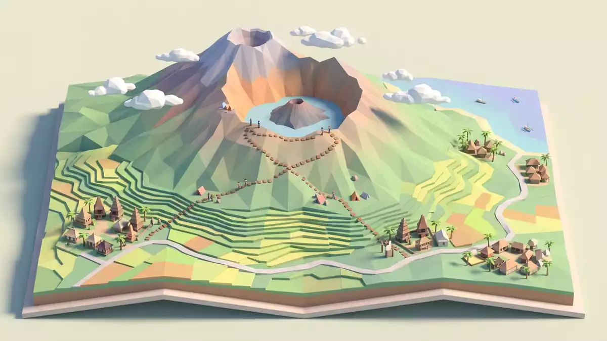
Gunung Rinjani on Lombok in Indonesia is an active stratovolcano rising to about 3,726 m (12,224 ft), forming the island’s dominant mountain landscape and enclosing a striking crater lake within its caldera. The peak stands inside Gunung Rinjani National Park, part of the wider Rinjani-Lombok UNESCO Global Geopark designated in 2018, setting the mountain within a protected area of volcanic terrain and biodiversity.
The volcanic massif and its summit ridge
Gunung Rinjani forms a broad volcanic massif in the northern part of Lombok, with slopes that climb from coastal lowlands to a long summit ridge overlooking the caldera below. The volcano is classified as an active stratovolcano, a type built from layers of erupted material, and its upper slopes rise to a confirmed elevation of 3,726 m (12,224 ft), making it the second-highest volcano in Indonesia and the highest point on Lombok Island.second-highest volcano in Indonesia The highest part of the ridge stands above the eastern side of the caldera, marking the summit that trekkers aim for on multi-day ascents.
The volcano and surrounding area are included in Gunung Rinjani National Park, which covers parts of North Lombok, West Lombok, Central Lombok and East Lombok regencies on the island.Gunung Rinjani National Park Within this park, the mountain’s elevation and exposed terrain create a marked change from the cultivated lowlands and coastal villages of Lombok, with high ridges, steep valleys and rocky outcrops shaping the skyline. On clear days the summit area offers expansive views over Lombok’s interior, nearby smaller islands and the open sea.
The caldera of Segara Anak and inner cone
Beneath the summit ridge lies a wide caldera containing Segara Anak, a lake known locally as the “Child of the Sea”, which forms one of the most recognisable features of Gunung Rinjani’s landscape.Segara Anak lake The lake sits roughly 2,000 m (6,562 ft) above sea level inside the caldera, several hundred metres below the crater rim, and its blue water contrasts with the grey and brown volcanic rock surrounding it.around 2,010 m above sea level The caldera itself extends for many kilometres, forming a basin that reflects the mountain’s eruptive history.
Within Segara Anak’s basin sits a smaller volcanic cone, sometimes referred to as Barujari, rising from near the lakeshore as a younger centre of activity compared with the main summit ridge.Rinjani volcano This inner cone has produced eruptions in the historical period, including activity documented in the nineteenth and twenty-first centuries, while the broader caldera reflects much older events associated with the Samalas volcano, whose catastrophic eruption in the thirteenth century reshaped the area that is now part of the Rinjani-Lombok UNESCO Global Geopark.Samalas eruption in 1257 The combination of lake, inner cone and rim means visitors encounter several scales of volcanic structure in one place.
A protected landscape and trekking routes
Gunung Rinjani’s slopes, caldera and surrounding foothills are recognised not only through national park status but also through the designation of Rinjani-Lombok as a UNESCO Global Geopark in 2018, highlighting geological heritage and the relationship between volcanic landforms and human settlement on Lombok.UNESCO Global Geopark designation in 2018 Within this protected framework, areas of forest, grassland and high-altitude scrub contribute to biodiversity, while villages at lower elevations maintain agriculture and cultural traditions linked to the mountain.
Popular trekking routes approach Gunung Rinjani from several directions, notably from the villages of Senaru and Sembalun on the northern and eastern sides of the massif.classic route from Senaru or Sembalun Multi-day treks typically involve camping on high ridges or near the caldera rim, with steep paths, loose volcanic surfaces and significant elevation gain forming part of the ascent. National park regulations govern access, and organised trekking services arrange guides, porters and equipment for visitors aiming to reach the summit or the lake basin.
Visiting Gunung Rinjani: what travellers from Western Europe should know
- Gunung Rinjani rises in the northern part of Lombok Island in Indonesia, with access points such as Senaru and Sembalun reached by road from coastal towns and Lombok’s main urban centres.
- The ascent involves steep mountain paths over volcanic rock and soil, with prolonged sections at high altitude above 2,000 m (6,562 ft), demanding sustained climbing over uneven terrain.
- Gunung Rinjani stands within a designated national park and UNESCO Global Geopark, so access is regulated and organised trekking services with local guides operate established routes through the mountain landscape.
- The official language is Indonesian and the currency is the Indonesian rupiah.
- Entry requirements depend on your nationality; UK travellers can check the FCDO travel advice at gov.uk/foreign-travel-advice, Irish travellers the Department of Foreign Affairs at ireland.ie.
Searching for Gunung Rinjani on social platforms
These links open searches for Gunung Rinjani on each platform.
Frequently asked questions about Gunung Rinjani
Where is Gunung Rinjani located?
Gunung Rinjani is on Lombok Island in Indonesia, within Gunung Rinjani National Park in the province of West Nusa Tenggara.
What should visitors expect on a visit to Gunung Rinjani?
Visitors encounter a high volcanic massif with steep trekking routes, a caldera containing Segara Anak lake and an inner cone, along with regulated access managed through the national park.
What makes Gunung Rinjani distinctive among Indonesian mountains?
Gunung Rinjani combines a summit at 3,726 m (12,224 ft), an extensive caldera with a crater lake and its status within the Rinjani-Lombok UNESCO Global Geopark, together forming a notable volcanic landscape.


