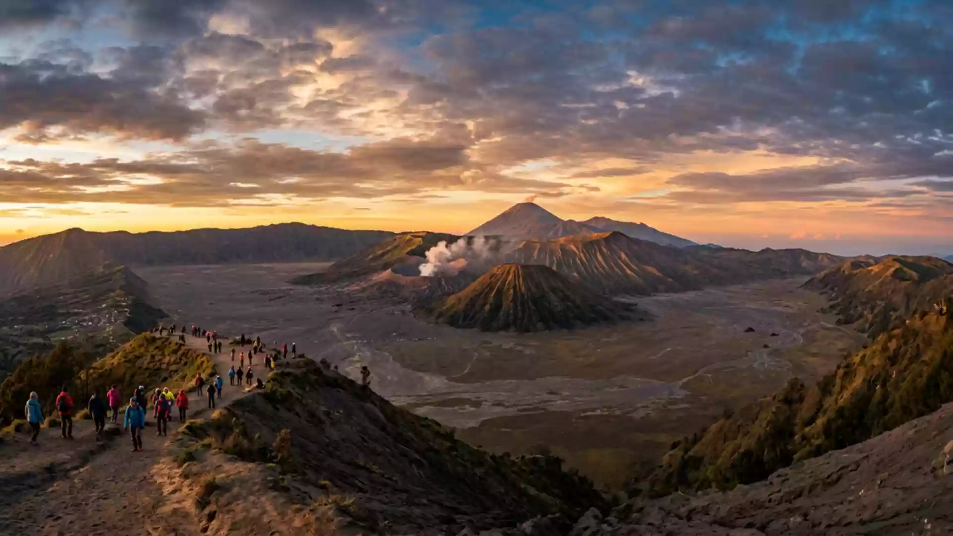
Gunung Bromo and the ash plain of East Java
Published on 09/07/2026 at 17:06 | Editorial responsibility: Rafael Müller, Editor-in-Chief AD HOC NEWS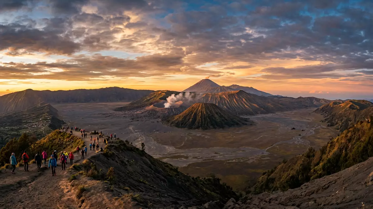
Gunung Bromo rises from the Tengger Caldera in East Java, inside Bromo Tengger Semeru National Park, and the slope ends in an ash plain rather than a forested summit. At 2,329 m (7,641 ft), it is a compact volcanic cone with a crater at the centre.
A volcanic cone in the Tengger Caldera
Gunung Bromo is an active somma volcano, part of the Tengger mountains and the wider volcanic landscape of East Java. The park lies south of Pasuruan and Probolinggo, and the name Bromo comes from Brahma, the Hindu god of creation.active somma volcano
The mountain sits among other cones in the caldera, with Mount Batok, Mount Kursi, Mount Watangan and Mount Widodaren forming a ring of peaks around the plain. The broader park was declared a national park in 1982, and the Tengger Sand Sea has been protected since 1919.declared a national park in 1982
Black sand, crater rims and nearby peaks
The landscape around Gunung Bromo is defined by loose sand, steep crater walls and a cluster of volcanic forms. The caldera floor is open and pale, while the surrounding rims carry the heavier shapes of the neighbouring mountains.
Mount Semeru lies within the same park and is the highest mountain in Java, while Mount Bromo remains the cone that most people associate with the Tengger massif. The contrast is clear: a smaller cratered peak in front of a much larger volcanic backdrop.2,329 m (7,641 ft)
Gunung Bromo and Tengger ritual life
Gunung Bromo is also tied to Tengger cultural practice. The Tengger people live in villages across the mountain area, and the mountain forms part of their ritual geography.
Pura Luhur Poten stands on the sand plain, with black volcanic stone and a layout that belongs to the same landscape as the cone itself. The temple and the crater sit within a single field of ash, stone and open sky.Pura Luhur Poten
Visiting Gunung Bromo: what travellers from Western Europe should know
- Gunung Bromo lies in Probolinggo, East Java, inside Bromo Tengger Semeru National Park. Cemoro Lawang is the usual access village on the Probolinggo side, with routes across the sand sea.
- The approach crosses loose volcanic sand and then climbs towards the crater rim. The terrain includes steps at the cone and open ground on the caldera floor.
- The official language is Indonesian and the currency is the Indonesian rupiah.
- Entry requirements depend on your nationality; UK travellers can check the FCDO travel advice at gov.uk/foreign-travel-advice, Irish travellers the Department of Foreign Affairs at ireland.ie.
Searching for Gunung Bromo on social platforms
These links open searches for Gunung Bromo on each platform.
Frequently asked questions about Gunung Bromo
Where is Gunung Bromo?
Gunung Bromo is in East Java, Indonesia, within Bromo Tengger Semeru National Park. The Probolinggo side provides one of the main access corridors.
What does a visit involve?
A visit involves crossing the Tengger Sand Sea and reaching the crater area on foot or by vehicle support from the access villages. The terrain is volcanic, open and exposed to loose sand.
What makes Gunung Bromo distinctive?
Its setting inside the Tengger Caldera is the main distinction. A small active cone, a broad ash plain and a ring of surrounding peaks make the landscape immediately recognisable.