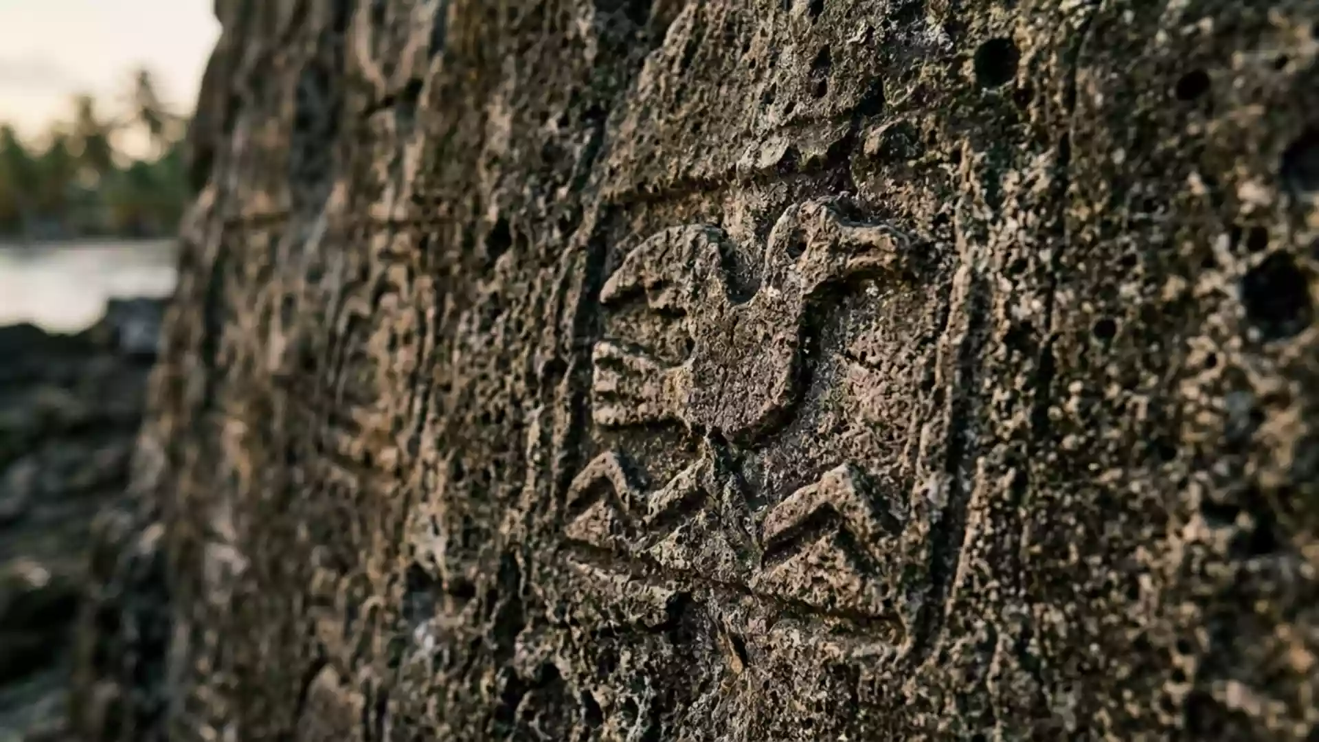
Guna Yala and El Porvenir on Panama’s Caribbean edge
Published on 08/19/2026 at 14:36 | Editorial responsibility: Rafael Müller, Editor-in-Chief AD HOC NEWS
Guna Yala is Panama’s indigenous comarca on the Caribbean side of the country, and El Porvenir was its capital before Gaigirgordub took that role. The place is defined by water, islands and a long coastal strip rather than by one single town.
Guna Yala’s island capital and coastal comarca
Guna Yala is an indigenous comarca in north-east Panama, bordered by the Caribbean Sea and the frontier with Colombia. It is linked with the Guna people, and its official name was adopted in 2011 after earlier forms including San Blas and Kuna Yala.official name
El Porvenir sits within that setting as the former capital on an island in the comarca. The administrative centre later moved to Gaigirgordub, but El Porvenir remains part of the place’s identity and history.former capital
History, autonomy and the Guna presence
The comarca’s modern history is tied to the Guna Revolution of 1925, when the Guna resisted outside pressure on their communities and customs. That conflict became a turning point in the relationship between the Guna and the Panamanian state.Guna Revolution
In legal terms, Guna Yala is a comarca, a form of indigenous territory with its own political organisation in Panama. Its history reaches back to the late nineteenth century, when the area of Tulenega was created under Colombian law in 1870.indigenous territory
A narrow land with islands offshore
Guna Yala is a coastal strip backed by the Caribbean, with islands scattered along the shore. The comarca is also associated with a dense pattern of small communities, maritime travel and low-lying land near sea level.
The physical setting is part of its character: the mainland is narrow, and the island chain runs close to the coast. That combination gives Guna Yala a maritime look that differs from Panama’s inland highlands and city districts.
Visiting Guna Yala: what travellers from Western Europe should know
- El Porvenir lies in the comarca’s island setting, and access is by boat within the archipelago or from the Panamanian mainland. The place is linked with the coast rather than with road travel.
- The terrain is low and maritime, with islands, shoreline and stretches of water between communities. Bring the same expectations for an island territory that depends on sea transport rather than a compact urban grid.
- Spanish and Guna are the official languages, and the currency is the Panamanian balboa alongside the US dollar. Panama uses the balboa for accounting and the dollar in everyday circulation.
- Entry requirements depend on your nationality; UK travellers can check the FCDO travel advice at gov.uk/foreign-travel-advice, Irish travellers the Department of Foreign Affairs at ireland.ie.
Searching for Guna Yala on social platforms
These links open searches for Guna Yala on each platform.
Frequently asked questions about Guna Yala
Where is Guna Yala?
Guna Yala is on Panama’s north-east Caribbean coast, close to Colombia. El Porvenir belongs to that coastal island world.
What does a visit involve?
It involves a maritime landscape of islands, shorelines and communities connected by boat. El Porvenir serves as a familiar reference point within the comarca.
What makes Guna Yala distinctive?
The combination of indigenous governance, a named comarca and an island coast gives it a clear identity. El Porvenir adds the historical layer of the former capital.