Gros Morne National Park where the Earth’s deep story is visible
Published on 08/26/2026 at 21:46 | Editorial responsibility: Rafael Müller, Editor-in-Chief AD HOC NEWS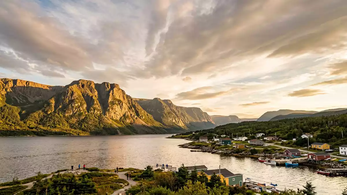
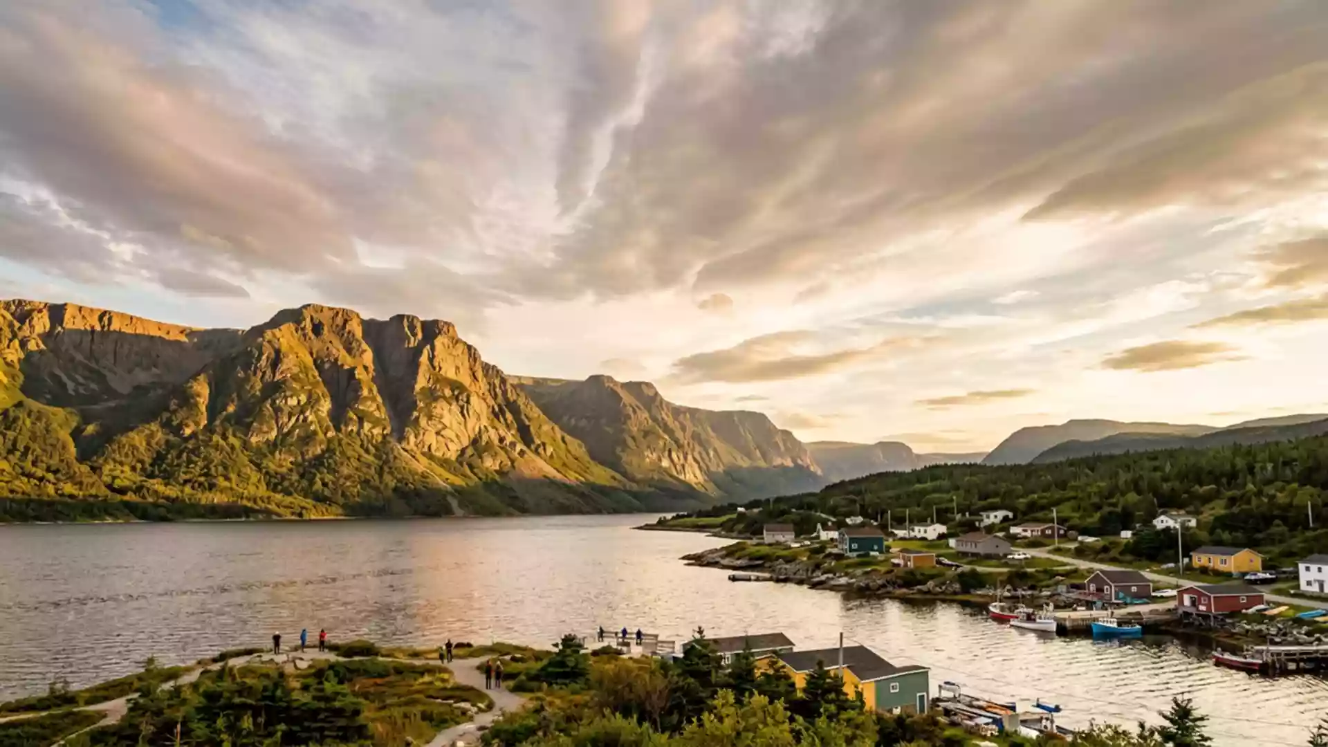
Gros Morne National Park on the west coast of Newfoundland is one of the few places where the deep structure of the Earth is written clearly in the landscape, with exposed mantle rock rising above glacial fjords and coastal lowlands. Designated a UNESCO World Heritage Site in 1987, it links the small town of Rocky Harbour to an area where plate tectonics and continental drift can be traced in cliffs, valleys and rust-coloured hills.
Where ocean crust and mantle reach the surface
The most striking example of Gros Morne’s geology is the Tablelands, a broad plateau of rust-coloured hills in the southern part of the park where mantle rock lies at the surface. The Tablelands are composed largely of peridotite, an ultramafic rock type that normally lies tens of kilometres beneath the Earth’s crust in the upper mantle, making this landscape a rare chance to walk across material usually hidden far below.Mantle-derived peridotite In contrast to the green slopes and forested valleys elsewhere in Gros Morne, the plateau appears almost barren, with bronze and ochre tones and sparse vegetation on thin, metal-rich soils.
The rocks exposed here record the closure of an ancient ocean and the collision of continental plates along what is now eastern North America. Geological work in Gros Morne helped confirm plate tectonics by showing how oceanic crust and mantle were thrust upwards during the formation of the Appalachian and Long Range Mountains.Continental drift made visible At the footpaths that cross the Tablelands, the contact between different rock units can be seen in changes in colour and texture, marking boundaries between deep-origin peridotite and surrounding sedimentary formations carried in the same tectonic episode.
Glacial fjords and the Long Range Mountains
Beyond the Tablelands, Gros Morne National Park presents a landscape shaped strongly by glaciers that cut into the Long Range Mountains, the northern extension of the Appalachian chain. During repeated glaciations, ice carved U-shaped valleys, steep-walled gorges and hanging side valleys, leaving cliffs that fall towards lakes and coastal lowlands.Glacier-scoured highlands Western Brook Pond, north of Rocky Harbour, is a landlocked freshwater fjord where near-vertical rock faces rise above still water, showing the cross section of ancient mountains and the layers of solidified magma and sediment captured in their walls.Landlocked freshwater fjords
Closer to the coast, glacier-scoured headlands meet the Gulf of St Lawrence, giving Gros Morne a mixture of highland interior and ocean frontage. Lowlands near sea level separate rounded hills and cliffs from the shoreline, reflecting the way the weight of ice once depressed parts of the crust and later rebounded when the ice sheets melted. On clear days, the contrast between broad, flat coastal areas and the abrupt rise of the mountains gives a good sense of the vertical scale that glaciation cut into the landscape.
A young national park with an ancient cultural and scientific story
Formal steps to create Gros Morne National Park began in 1970, when agreements were signed to protect a large area of western Newfoundland’s mountains and coast, and the national park was established in the early 1970s.Establishment in 1970 In 1987 it was inscribed on the UNESCO World Heritage List, recognised both for its geological record of continental drift and for the scenic combination of fjords, cliffs and ocean setting.UNESCO inscription in 1987 The protected area extends over thousands of hectares, linking multiple communities along the coast, with Rocky Harbour serving as a useful reference point for orientation.
Human presence around Gros Morne reaches back millennia. Pre-European cultures, including Maritime Archaic peoples, Dorset communities and the Beothuk, made use of the coastal resources and interior routes between roughly the third millennium BC and the period of early European contact. The arrival of Jacques Cartier in the Gulf of St Lawrence in 1534 marks one of the earliest documented European journeys near the region, though permanent settlement along this stretch of coast followed in the nineteenth century as fishing communities became established.Pre-European and European history In the twentieth century, geological studies here added a scientific layer to the cultural one, bringing international attention when the park’s rock record helped demonstrate how oceans open and close over geological time.
Visiting Gros Morne National Park: what travellers from Western Europe should know
- Gros Morne National Park lies on the west coast of Newfoundland, with Rocky Harbour as one of the main communities near its central section, reached from mainland Canada via transport routes to the island.
- The terrain varies from gently rolling coastal lowlands to steep mountain slopes and high plateaus, with many paths involving uneven ground and sustained gradients on rock and soil.
- Western Brook Pond and other fjord viewpoints stand at some distance from road access, so visiting them involves walking on maintained tracks across open lowland terrain.
- The official language is English and the currency is the Canadian dollar.
- Entry requirements depend on your nationality; UK travellers can check the FCDO travel advice at gov.uk/foreign-travel-advice, Irish travellers the Department of Foreign Affairs at ireland.ie.
Searching for Gros Morne National Park on social platforms
These links open searches for Gros Morne National Park on each platform.
Frequently asked questions about Gros Morne National Park
Where is Gros Morne National Park?
Gros Morne National Park is on the west coast of Newfoundland in eastern Canada, with the town of Rocky Harbour close to its central coastal section.
What should visitors expect on a first visit?
Visitors encounter a mix of rust-coloured mantle hills, glacier-carved fjords, rounded coastal headlands and lowland paths between small communities along the Gulf of St Lawrence.
What makes Gros Morne National Park distinctive?
The park combines exposed mantle rock at the Tablelands with landlocked freshwater fjords such as Western Brook Pond, offering clear views of deep geological processes in a compact coastal landscape.