
Gorges du Verdon and the limestone canyon of Provence
Published on 08/27/2026 at 18:59 | Editorial responsibility: Rafael Müller, Editor-in-Chief AD HOC NEWS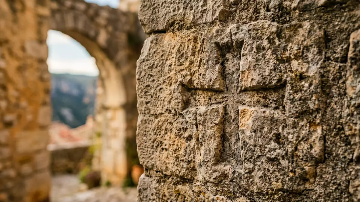
Gorges du Verdon is a limestone canyon in southeastern France where the Verdon River has carved a deep corridor between the uplands of Provence and the turquoise waters of Lac de Sainte-Croix, with Moustiers-Sainte-Marie at its western gateway.The gorges lie between the Alpes-de-Haute-Provence and Var departments, and the river’s pale green course runs along the floor.
A limestone canyon on the edge of the Alps
The core of Gorges du Verdon is the Verdon River, a tributary of the Durance whose catchment runs from the high Alps towards Provence before it turns south through the limestone plateau.The Verdon basin drains into the Durance River, anchoring the gorge within the wider Rhône basin. The canyon itself extends for about 25 km (15.5 mi) between the area of Castellane and Lac de Sainte-Croix near Moustiers-Sainte-Marie, where the river enters the reservoir.Descriptions consistently give the gorge a length of about 25 km and a maximum depth around 700 m.
The Verdon has cut into Jurassic limestone, leaving walls that can rise to about 700 m (2,300 ft) above the river and narrowing the valley floor to only a few metres in places.Accounts describe a canyon up to 700 m deep with a narrow bottom and a rim width between a few hundred metres and about 1.5 km. In cross-section, the rock shows stacked strata and overhangs, with lighter bands of limestone alternating with darker weathered faces. The gorge separates the Préalpes de Castellane to the south from the Préalpes de Digne to the north, so the canyon forms a visible boundary between two Prealpine blocks.The gorges mark the line between these two Prealpine units.
The Verdon River and the “Grand Canyon of Europe”
The water that shaped Gorges du Verdon gives it much of its character. The Verdon River carries a distinctive pale green colour, produced by minerals eroded from the limestone and the river’s Alpine headwaters.Descriptions of the gorge emphasise the contrast between turquoise water and pale rock. At the bottom of the canyon, the river flows between rock walls that can be only a few metres apart before it widens again towards Lac de Sainte-Croix.
The combination of depth, length and the contrast between turquoise water and pale cliffs has led to Gorges du Verdon being widely compared with the Grand Canyon in Arizona.The gorge is frequently described as “the Grand Canyon of Europe”. The canyon reaches a maximum depth of around 700 m, which is more than twice the height of the Eiffel Tower, and runs for around 25 km between its main entry and exit points.Figures compiled for visitors underline the 25 km length and 700 m depth. Along the rim, the width between opposing cliff tops can vary from a few hundred metres to about 1.5 km, which gives each bend of the gorge a slightly different proportion.
Moustiers-Sainte-Marie and the Verdon Regional Natural Park
Moustiers-Sainte-Marie stands close to the western end of Gorges du Verdon, where the canyon opens towards Lac de Sainte-Croix, and functions as one of the access points to the gorge.The local tourist office presents Moustiers-Sainte-Marie as one of the gateways to the Gorges du Verdon. From the outskirts of the village, roads climb towards viewpoints over the reservoir and the entrance of the canyon, so the transition from village streets to high limestone walls is short and visible.
Gorges du Verdon lies within the Parc naturel régional du Verdon, a regional natural park created in 1997 to protect the landscapes and ecosystems of the river and its surroundings.The Verdon Regional Natural Park was established in the late twentieth century to manage and protect the site. Within the park, the canyon forms the central feature, with plateaux, forests and reservoirs radiating outwards. The combination of steep cliffs, river, and plateau agriculture gives the area a layered landscape: terraces and fields on the heights, scrub and woodland on the slopes, and rock walls leading down to the river.
Visiting Gorges du Verdon: what travellers from Western Europe should know
- Gorges du Verdon lies in southeastern France between the Alpes-de-Haute-Provence and Var departments, with Moustiers-Sainte-Marie and Castellane serving as reference towns on its western and eastern approaches.
- The terrain around the gorge includes steep limestone slopes and high cliffs, and approaches from the rim involve roads with significant gradients and sections that follow the edge of the plateau.
- The canyon forms part of the Parc naturel régional du Verdon in France, where the official language is French and the currency is the euro.
- Entry requirements depend on your nationality; UK travellers can check the FCDO travel advice at gov.uk/foreign-travel-advice, Irish travellers the Department of Foreign Affairs at ireland.ie.
Searching for Gorges du Verdon on social platforms
These links open searches for Gorges du Verdon on each platform.
Frequently asked questions about Gorges du Verdon
Where is Gorges du Verdon?
Gorges du Verdon is in southeastern France between the Alpes-de-Haute-Provence and Var departments, with Moustiers-Sainte-Marie close to its western end.
What should visitors expect on a visit?
Visitors encounter a deep limestone canyon with high cliffs, a pale green river at the bottom and roads that follow the rim above the Verdon.
What makes Gorges du Verdon distinctive?
The combination of a 25 km limestone canyon, cliffs up to about 700 m high and turquoise river water gives Gorges du Verdon a distinctive character in Provence.


