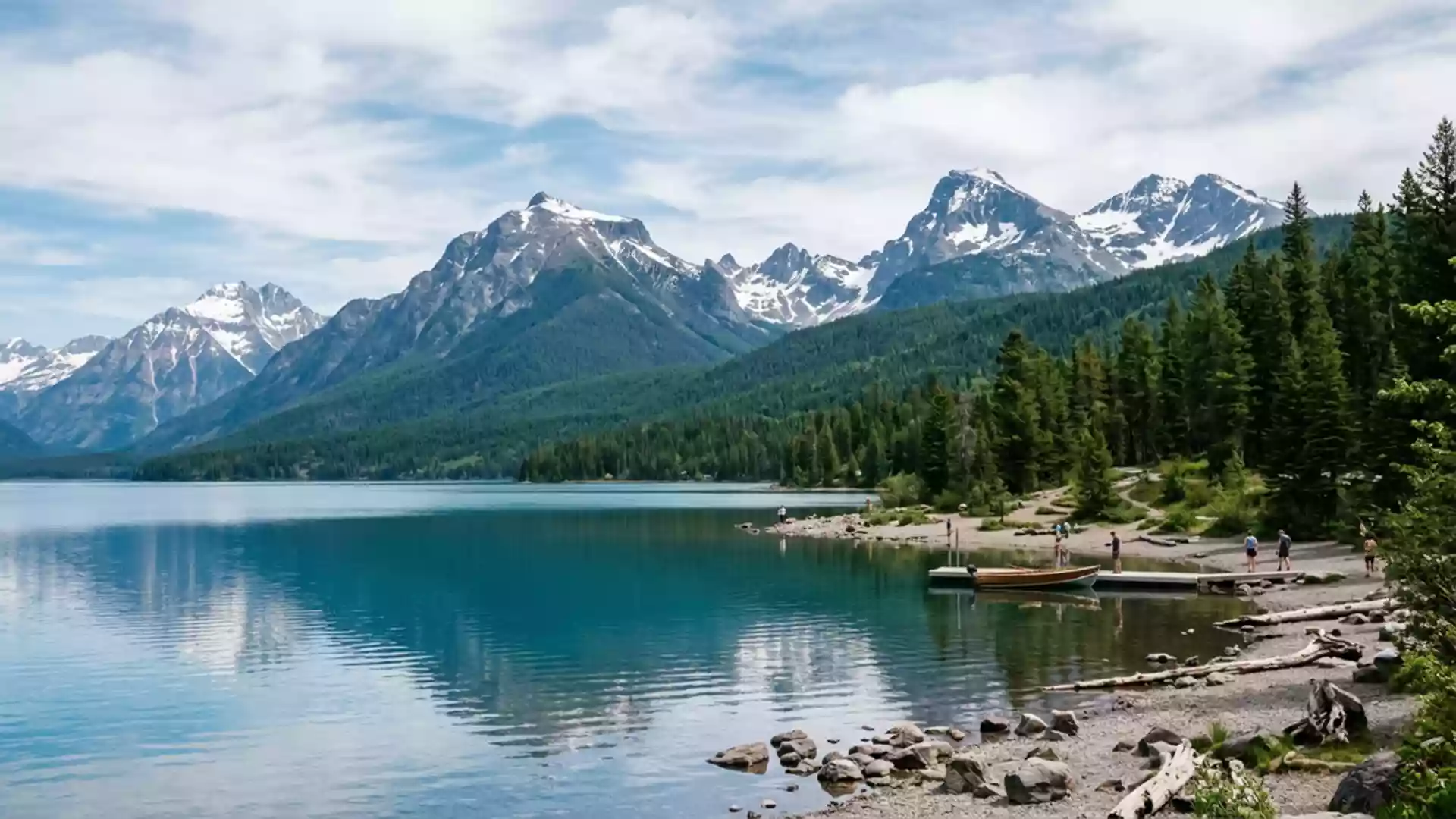
Glacier National Park and its high road across the Rockies
Published on 09/14/2026 at 06:38 | Editorial responsibility: Rafael Müller, Editor-in-Chief AD HOC NEWS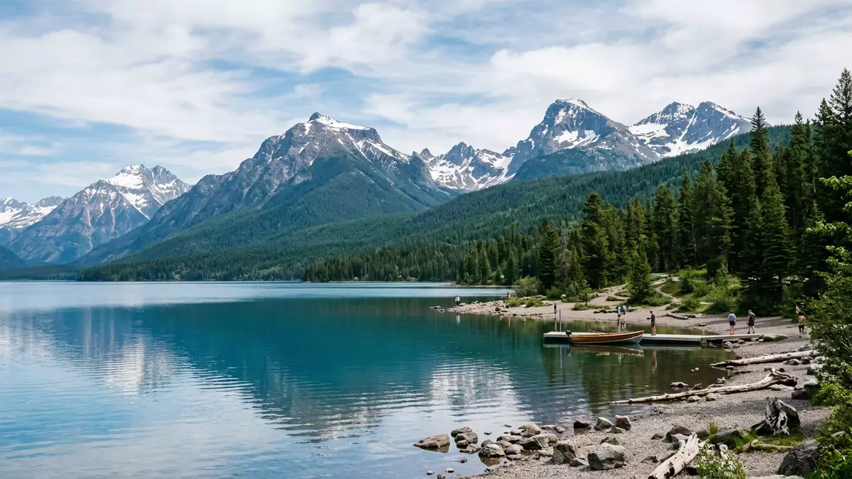
Glacier National Park in Montana is a landscape of high ridges, deep valleys and clear lakes, centred on a single road that climbs across the Continental Divide from West Glacier to St. Mary. Established as a national park on 11 May 1910, it spans more than 1,000,000 acres of the northern Rocky Mountains and forms the American half of the Waterton?Glacier International Peace Park created in 1932. The park’s main features are carved into sedimentary rock uplifted into sharp summits, where remnant glaciers, alpine meadows and forested valleys mark a transition between prairie and inland rainforest.
A high?country park on the Continental Divide
Glacier National Park lies in the far north?west of Montana, pressed against the border with Alberta and British Columbia and threaded by the Continental Divide that sends rivers to both the Atlantic and Pacific. Its protected area stretches over about 1,583 square miles (4,102 km²), with an exterior boundary running for hundreds of miles along mountain ridges shared in places with Waterton Lakes National Park in Canada.Established as a park on 11 May 1910 the area preserves a largely intact ecosystem of peaks, forests and waterways in the lower forty?eight states.More than 1,000,000 acres of peaks and lakes
Water defines much of the park’s geography. Lake McDonald, a long glacial lake on the west side, fills a valley that opens towards West Glacier, its clear water catching light on multi?coloured pebbles along the shore.Lake McDonald valley on the west side On the east, St. Mary Lake lies in a broad trough beneath steep peaks, while Upper McDonald Creek flows as one of the park’s longer streams. Above these valleys, the Continental Divide follows high summits such as Reynolds Mountain and Clements Mountain, and at Logan Pass the divide crosses the single paved route between West Glacier and St. Mary.
Going?to?the?Sun Road: a single traverse from West Glacier
The Going?to?the?Sun Road is the only road that crosses Glacier National Park from west to east, linking the West Entrance near West Glacier with the St. Mary Entrance in a single 50?mile (about 80?km) traverse.The road stretches about 50 miles between the West Entrance and St. Mary Its western terminus meets U.S. Route 2 at West Glacier, and the line of asphalt then follows the shore of Lake McDonald before climbing in a series of bends to Logan Pass.The western terminus is at U.S. Route 2 in West Glacier On the other side of the divide the road descends towards St. Mary, threading above steep slopes and glacial valleys.
Logan Pass, at 6,646 ft (2,026 m), is the highest point reached by the road and sits directly on the Continental Divide.Logan Pass is the highest point on Going?to?the?Sun Road at 6,646 feet A visitor centre stands at the pass, and short paths start here towards viewpoints such as Hidden Lake Overlook and the Highline Trail, which trace the ridge above the Sun Road. The alignment above cliffs, the exposure to peaks and snowfields and the proximity of roadside waterfalls make the drive itself one of the park’s defining experiences, carrying travellers from the low?elevation lakeside forests near Apgar and Lake McDonald into high?country grassland and back down to the east?side lake basins.Construction on Going?to?the?Sun Road began in 1921 and was completed in 1932
West Glacier gateway: lakes, lodges and trailheads
West Glacier serves as a principal gateway to the park. From Kalispell, Whitefish and Columbia Falls the approach follows Highway 2 north?east to the West Entrance, where the road crosses the Middle Fork of the Flathead River into the protected area.Highway 2 north to West Glacier Near the entrance, Apgar village sits on the shore of Lake McDonald, with lakeside access and trailheads leading into the forested valley. The Amtrak Empire Builder calls at West Glacier’s historic station at Belton, making rail a practical way to reach the area from elsewhere in the United States.
Along the shore of Lake McDonald, the Lake McDonald Lodge is a notable early twentieth?century structure built in 1913 in a style that draws on Swiss chalet forms used across several American national parks.Lake McDonald Lodge was built in 1913 Trails climb from its surroundings towards viewpoints such as Mount Brown Lookout, while shorter walks follow the lake shore or explore forested areas like Trail of the Cedars. From West Glacier, the lower sections of Going?to?the?Sun Road remain open outside the main high?alpine driving season, providing access to these west?side locations even when the high pass at Logan Pass is closed by snow.Lower elevation sections of Going?to?the?Sun Road remain open all year
Visiting Glacier National Park: what travellers from Western Europe should know
- Glacier National Park lies in north?west Montana in the United States, with West Glacier marking the western entrance and U.S. Route 2 providing road access to the park from Kalispell and other Flathead Valley communities.
- The terrain inside the park ranges from low?elevation lake basins around Lake McDonald to high passes such as Logan Pass at 2,026 m (6,646 ft), with steep gradients, narrow mountain roads and trail climbs that demand sure footing.
- In winter, snow lies across high sections of the park, and the single crossing of the Continental Divide at Logan Pass is subject to seasonal closure while lower?elevation parts of the West Glacier area remain accessible by road.
- English is the official language in Montana and the national currency is the United States dollar.
- Entry requirements depend on your nationality; UK travellers can check the FCDO travel advice at gov.uk/foreign-travel-advice, Irish travellers the Department of Foreign Affairs at ireland.ie.
Searching for Glacier National Park on social platforms
These links open searches for Glacier National Park on each platform.
Frequently asked questions about Glacier National Park
Where is Glacier National Park and how is West Glacier connected to it?
Glacier National Park lies in north?west Montana in the United States, bordering Canada, with West Glacier marking the western road entrance where U.S. Route 2 meets the park boundary.
What can travellers expect on a first visit to Glacier National Park?
A first visit brings a combination of forested valleys, clear glacial lakes such as Lake McDonald, and high?country scenery along Going?to?the?Sun Road, including the Continental Divide at Logan Pass.
What makes Glacier National Park distinctive among Rocky Mountain parks?
The park’s single trans?mountain road from West Glacier to St. Mary, its position on the Continental Divide, and the protected expanse of peaks and lakes together give Glacier National Park a distinctive character.