
Geirangerfjorden, towering cliffs above a narrow Norwegian fjord
Published on 09/15/2026 at 19:00 | Editorial responsibility: Rafael Müller, Editor-in-Chief AD HOC NEWS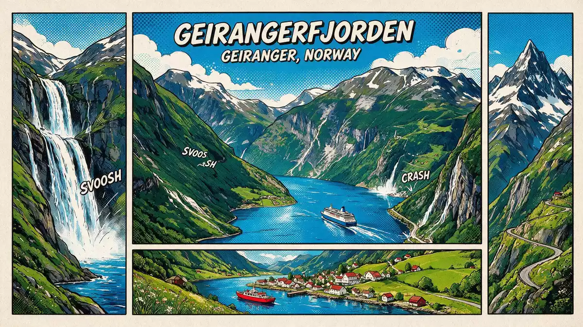
Geirangerfjorden is a narrow, steep-sided arm of the Norwegian coast that ends at the village of Geiranger in western Norway, combining deep water with high crystalline rock walls in a compact reach. The fjord forms the inner section of the Storfjorden system in the Sunnmøre region of Møre og Romsdal county and has been recognised as part of a West Norwegian World Heritage landscape since 2005.
Geirangerfjorden as a World Heritage fjord landscape
Geirangerfjorden belongs to the serial World Heritage property known as the West Norwegian Fjords – Geirangerfjord and Nærøyfjord, inscribed as a natural site in 2005 for its outstanding fjord scenery and geological features.West Norwegian Fjords listing The inscription highlights a large protected area that includes the inner sections of both fjords, extending from the marine basins up through forests, lakes, glaciers and high mountains.Geirangerfjord area map
Within this property, Geirangerfjorden is described as an archetypical example of a west Norwegian fjord, with crystalline rock walls that rise up to around 1,400 m (4,593 ft) directly from the Norwegian Sea and continue below the surface to substantial depths.description of rock walls The combination of high relief, deep water and relatively limited visible human intervention gives the fjord a strong vertical emphasis, with slopes bearing patches of forest, scattered farmsteads and numerous waterfalls dropping towards the basin.
Shape, scale and setting of the fjord arm
Geirangerfjorden runs for about 15 km (9 miles) between the basin at Geiranger and its junction with Sunnylvsfjorden near Hellesylt, forming the inner segment of the longer Storfjorden system.about 15 km long Depth soundings show maximum values near 258–260 m (846–853 ft), while the surrounding mountains rise far higher above the water, so that the fjord sits as a narrow corridor enclosed by tall slopes.maximum depth and surrounding heights
The fjord is one of two named components in the West Norwegian Fjords World Heritage site, and the mapped Geirangerfjord Area covers tens of thousands of hectares extending beyond the water surface.extent of Geirangerfjord Area The steep rock faces bear ledges, gullies and hanging valleys, and along these margins lie remnants of transhumant farms and access paths that reflect earlier use of the slopes.mention of abandoned farms Seen from the water, the fjord appears framed by these high sides, with waterfalls dropping from the plateau and forested sections giving way to bare rock higher up.
Geiranger village and the Norwegian Fjord Centre
At the head of Geirangerfjorden stands Geiranger, a small village in Stranda Municipality in Møre og Romsdal county.Geiranger village location Geiranger lies where the fjord basin narrows and rivers descend from the surrounding mountains, forming a meeting point between the marine landscape and inland valleys. The village is associated directly with the fjord arm, which reaches its inner limit at this basin.
Above the basin, the Norwegian Fjord Centre (Norsk Fjordsenter) functions as a visitor and education hub for the Geirangerfjord World Heritage site, presenting exhibits on fjord formation, local settlement and the reasons why the West Norwegian fjords received World Heritage status in 2005.Norwegian Fjord Centre Its location in Geiranger links indoor interpretation with views towards the fjord and the slopes that form part of the protected landscape.
Visiting Geirangerfjorden: what travellers from Western Europe should know
- Geirangerfjorden lies in Møre og Romsdal county in western Norway, with Geiranger at its inner end and Hellesylt near the junction where the fjord meets Sunnylvsfjorden in the wider Storfjorden system.
- The terrain around the fjord is steep, with road viewpoints and paths on hillside sections and quays at the water’s edge, so moving between levels often involves gradients and stairways rather than flat ground.
- The fjord is approached by road through mountain passes or along valley routes and by ferries that follow the waterway between Geiranger and points further out in the Storfjorden system.
- The official language is Norwegian and the currency is the Norwegian krone.
- Entry requirements depend on your nationality; UK travellers can check the FCDO travel advice at gov.uk/foreign-travel-advice, Irish travellers the Department of Foreign Affairs at ireland.ie.
Searching for Geirangerfjorden on social platforms
These links open searches for Geirangerfjorden on each platform.
Frequently asked questions about Geirangerfjorden
Where is Geirangerfjorden?
Geirangerfjorden lies in the Sunnmøre region of Møre og Romsdal county in western Norway, forming the inner arm of the Storfjorden system and ending at Geiranger.
What should visitors expect on a visit?
Visitors encounter a narrow fjord corridor with high rock walls, waterfalls, forested slopes and viewpoints on roads and paths that connect down to quays at the water’s edge.
What makes Geirangerfjorden distinctive?
Geirangerfjorden combines strong vertical relief, deep water and relatively limited visible development in a short fjord arm recognised as part of a West Norwegian World Heritage site since 2005.


