
Geirangerfjorden, a steep World Heritage fjord in western Norway
Published on 09/18/2026 at 17:57 | Editorial responsibility: Rafael Müller, Editor-in-Chief AD HOC NEWS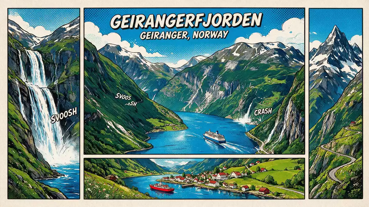
Geirangerfjorden is a steep-sided fjord reaching inland from the village of Geiranger into the mountains of western Norway, part of a glaciated coastal landscape recognised on the UNESCO World Heritage List since 2005. The fjord forms an inner branch of the larger Storfjorden system in the Sunnmøre region of Møre og Romsdal, with Geiranger sitting at its sheltered end where the waterway narrows beneath high rock walls.
Geirangerfjorden in the West Norwegian fjord landscape
Geirangerfjorden belongs to the serial World Heritage property known as the West Norwegian Fjords – Geirangerfjord and Nærøyfjord, the only area in Norway inscribed on UNESCO’s list for its natural significance.West Norwegian Fjords – Geirangerfjord and Nærøyfjord The property is divided into a Geirangerfjord area and a Nærøyfjord area, together covering more than 120,000 ha of fjord and mountain scenery in south-western Norway.the Geirangerfjord area and the Nærøyfjord area
Within this broader coastal belt stretching from Stavanger towards Åndalsnes, Geirangerfjorden represents an inner fjord arm where deep sea meets high terrain in a sharp cross-section of the Norwegian coast.archetypical fjord landscapes in south-western Norway Crystalline rock walls rise hundreds of metres above the water and extend below sea level, while narrow shores and hanging valleys show how ice carved this tributary of Storfjorden over long glacial periods.steep-sided crystalline rock walls above and below sea level
Shape, scale and geology of the fjord
Seen from the water, Geirangerfjorden runs for roughly 15 km between Geiranger and its junction with Sunnylvsfjorden near Hellesylt, with a channel that varies from a few hundred metres to more than a kilometre in width.length, width and major waterfalls of Geirangerfjorden The fjord’s depth reaches more than 200 m, while surrounding peaks rise up to around 1,700 m, producing a marked vertical contrast between sea level and the neighbouring summits.
Glacial erosion over repeated ice ages cut Geirangerfjorden into a U-shaped trough, grinding an earlier valley into the deep inlet visible now.glacial carving of the fjord and surrounding peaks The bedrock is predominantly gneiss, a hard metamorphic rock that supports near-vertical cliff faces along much of the shore, punctuated by ledges that carry old farmsteads and small patches of cultivation high above the water.deep glacial paths through Norwegian coastal rock
Geiranger at the head of Geirangerfjorden
At the innermost point of Geirangerfjorden, the village of Geiranger occupies a small basin where river and fjord meet beneath surrounding mountains.Geiranger at the innermost point of the fjord Roads climb out of Geiranger towards mountain passes and plateaus, while small quays and landing stages line the waterfront, connecting the village to traffic on the fjord itself.
Along the waterway, waterfalls descend from hanging valleys and small streams cut grooves into the rock, feeding the fjord and linking high terrain with the sea channel.waterfalls, rivers, forests and glacial lakes around the fjords Farm clusters sit on shelves above the water, reached by steep paths and stairways, and vantage points on nearby heights provide views along the fjord towards its outer junction with other branches of Storfjorden.touristic development of the Geirangerfjord landscape
Visiting Geirangerfjorden: what travellers from Western Europe should know
- Geirangerfjorden lies in the Sunnmøre region of Møre og Romsdal, in western Norway, with the village of Geiranger at its inland end and road access from regional centres such as Ålesund.
- The fjord is framed by high mountains and steep rock slopes, so many viewpoints are reached by roads with significant gradients and paths that include stairways or uneven ground.
- Boat traffic on Geirangerfjorden links Geiranger with other points on Storfjorden, and small quays and landing stages provide access to the waterway at several bays.
- The official language is Norwegian and the currency is the Norwegian krone.
- Entry requirements depend on your nationality; UK travellers can check the FCDO travel advice at gov.uk/foreign-travel-advice, Irish travellers the Department of Foreign Affairs at ireland.ie.
Searching for Geirangerfjorden on social platforms
These links open searches for Geirangerfjorden on each platform.
Frequently asked questions about Geirangerfjorden
Where is Geirangerfjorden?
Geirangerfjorden lies in western Norway in the Sunnmøre region of Møre og Romsdal, forming an inner branch of the larger Storfjorden system with Geiranger at its inland end.
What can travellers expect on a visit to Geirangerfjorden?
Travellers encounter a narrow sea channel bordered by high rock walls, waterfalls descending from hanging valleys, small farmsteads on ledges and a compact village at the head of the fjord.
What makes Geirangerfjorden distinctive among Norwegian fjords?
Geirangerfjorden combines a relatively short inner arm with marked vertical relief, gneiss cliffs rising far above the water and its inclusion in the West Norwegian Fjords World Heritage property for natural significance.


