
Geirangerfjorden, a steep fjord framed by high Norwegian mountains
Published on 09/16/2026 at 19:13 | Editorial responsibility: Rafael Müller, Editor-in-Chief AD HOC NEWS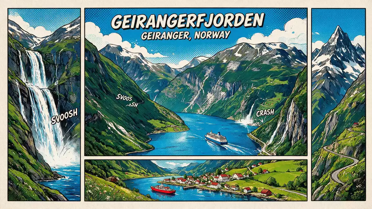
Geirangerfjorden is a steep-sided fjord reaching inland from the village of Geiranger into the mountains of western Norway, part of the classic West Norwegian fjord landscape recognised on the UNESCO World Heritage List since 2005.West Norwegian Fjords – Geirangerfjord and Nærøyfjord The fjord forms the inner branch of the larger Storfjorden system, with Geiranger sitting at its sheltered end.Geiranger at the end of Geirangerfjorden
Geirangerfjorden as a World Heritage landscape
Geirangerfjorden is included in the serial World Heritage property known as the “West Norwegian Fjords – Geirangerfjord and Nærøyfjord”, the only area in Norway inscribed on UNESCO’s list for its natural significance.Geirangerfjorden World Heritage fjord The inscription, made in 2005 under natural criteria, covers inner fjord stretches and surrounding mountains where deep sea inlets meet high terrain in a landscape largely shaped by glacial erosion.natural World Heritage criteria
The World Heritage property is divided into a Geirangerfjord area and a Nærøyfjord area, together covering more than 120,000 ha of fjord and mountain scenery in south-western Norway between Stavanger and Åndalsnes.Geirangerfjord Area and Nærøyfjord Area Within this broader landscape, Geirangerfjorden represents an inner fjord arm where steep rock faces, high summits and the narrow waterway create a particularly dramatic cross-section of the glaciated Norwegian coast.dramatic West Norwegian fjords
Steep walls, waterfalls and a narrow fjord corridor
Seen from the water, Geirangerfjorden is defined by very steep rock walls rising from the sea, with high terrain enclosing the waterway on both sides.steep-sided fjord description These heights form part of the Sunnmøre region in Møre og Romsdal, where fjords cut deeply into the plateau and the contrast between sea level and nearby summits is pronounced.Sunnmøre region and Møre og Romsdal county
Waterfalls descend from hanging valleys and slopes along Geirangerfjorden, forming thin white bands against dark rock and green patches of vegetation. The inner fjord reaches inland for several kilometres, its narrow corridor framed by mountains that bear traces of glacial carving in their profiles.ice-carved fjord formations When viewed from the surrounding heights, the fjord appears as a long waterway enclosed by cliffs, with Geiranger village at the far end where the sea meets a small valley floor.spectacular fjord scenery
Geiranger at the end of the fjord
Geiranger is a small settlement in Stranda Municipality, in the western part of Norway, situated at the very end of Geirangerfjorden.Geiranger village location The village lies close to the water, with harbour structures and houses spread along the valley sides and near the shore where the fjord terminates.
Roads climb from Geiranger up the mountainsides towards passes and viewpoints, connecting the village to the wider region over high terrain. From these vantage points, travellers look down onto Geirangerfjorden as it curves away between the rock walls, with the combination of sea, steep mountains and a small village forming a compact scene typical of the inner West Norwegian fjords.Norwegian Fjord Centre in Geiranger
Visiting Geirangerfjorden: what travellers from Western Europe should know
- Geirangerfjorden lies in western Norway in Møre og Romsdal county, with Geiranger village at the end of the fjord and road connections climbing over mountain passes towards other parts of the region.
- The terrain around Geirangerfjorden is steep, with high mountains dropping towards the water and many routes involving gradients, bends and viewpoints where travellers stand above the fjord.
- The official language is Norwegian and the currency is the Norwegian krone.
- Entry requirements depend on your nationality; UK travellers can check the FCDO travel advice at gov.uk/foreign-travel-advice, Irish travellers the Department of Foreign Affairs at ireland.ie.
Searching for Geirangerfjorden on social platforms
These links open searches for Geirangerfjorden on each platform.
Frequently asked questions about Geirangerfjorden
Where is Geirangerfjorden in Norway?
Geirangerfjorden is an inner fjord arm in Møre og Romsdal county in western Norway, ending at the village of Geiranger in Stranda Municipality.
What should travellers expect when visiting Geirangerfjorden?
Travellers encounter a narrow fjord corridor enclosed by high rock walls, waterfalls descending from the slopes and a small village at the sheltered end of the fjord.
What makes Geirangerfjorden distinctive among Norwegian fjords?
Geirangerfjorden forms part of a World Heritage property where deep sea inlets meet high mountains, offering a compact view of glaciated fjord terrain recognised internationally for its natural qualities.


