
Fuji-san and the volcanic cone above Fujinomiya
Published on 09/23/2026 at 17:45 | Editorial responsibility: Rafael Müller, Editor-in-Chief AD HOC NEWS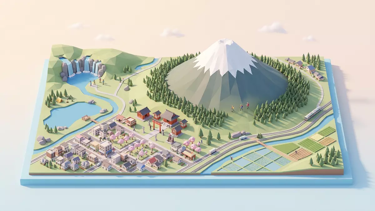
Fuji-san rises above Fujinomiya as a solitary volcanic cone, its summit reaching 3,776 m (12,389 ft) above sea level. The mountain is Japan’s highest peak, and its broad slopes form a visible meeting point between geology, pilgrimage and art.
Fuji-san: a stratovolcano with a singular profile
Fuji-san is an active stratovolcano on Honshu, Japan’s largest island. Layers of lava, volcanic ash and scoria form the mountain’s conical body, which rises between Shizuoka and Yamanashi prefectures.
Volcanic activity began roughly 100,000 years ago. The mountain’s most recent eruption occurred in 1707, when ash fell across a wide area. Its geological identity remains visible in lava formations, caves, springs and other features around the foothills.
The mountain reaches 3,776 m (12,389 ft), a height that gives it a distinct place in Japan’s physical landscape. From Fujinomiya, the southern side rises towards the summit through volcanic terrain and a succession of climbing stations. The city lies near the mountain’s foot in Shizuoka Prefecture.
From pilgrimage routes to woodblock prints
Fuji-san has been connected with religious practice for centuries. In the twelfth century, the mountain became a centre for ascetic Buddhist training incorporating Shinto elements. Pilgrimage routes and shrines on the upper slopes form part of the mountain’s cultural landscape.
Fujisan Hongu Sengen Taisha stands in Fujinomiya. The shrine was established at its present location in 806, and its buildings include structures associated with Tokugawa Ieyasu in the early seventeenth century. The shrine is one of the cultural properties connected with Fuji-san’s World Heritage listing.
In 2013, “Fujisan, sacred place and source of artistic inspiration” entered the UNESCO World Heritage List as a cultural property. The inscription covers 25 sites, including the mountain, Sengen shrines, pilgrimage routes, lakes, waterfalls, springs, lava tree moulds and traditional lodging houses. the UNESCO listing records the connection between sacred practice and artistic expression.
The mountain became a recurring subject in Japanese art, particularly in nineteenth-century ukiyo-e prints. Katsushika Hokusai’s “Thirty-six Views of Mount Fuji” placed the cone within changing scenes of water, weather, work and urban life. Utagawa Hiroshige also included Fuji-san in landscape series.
The Fujinomiya side and the climb towards the summit
The Fujinomiya Trail begins on the southern side of Fuji-san, at the Fujinomiya Trail Fifth Station. It starts at the highest of the mountain’s principal trailheads and climbs through volcanic slopes towards the summit.
The route has an elevation difference of approximately 1,320 m (4,331 ft) between the Fifth Station and the summit. Its surface includes rocky ground, exposed volcanic material and steep sections. The ascent is a high-mountain undertaking, with altitude becoming a central feature of the terrain.
The summit area contains a crater and shrines. A path follows the crater rim, while the upper mountain belongs to the cultural landscape recognised through the World Heritage inscription. the Fujinomiya Trail is identified with Fujinomiya City and Shizuoka Prefecture.
The trailhead connects with Fujinomiya through mountain transport routes. Buses serve Fujinomiya Fifth Station from railway connections including Fujinomiya Station, Fuji Station, Shin-Fuji Station and Mishima Station. Road access includes the Mt Fuji Skyline and routes from the Tomei and Shin-Tomei expressways.
At the foot of the mountain, Fujinomiya offers a different view of Fuji-san’s identity. The city contains Fujisan Hongu Sengen Taisha, while Shiraito Falls lies within the wider World Heritage property. The sacred landscape therefore extends beyond the summit and into water, forest and settlement.
Visiting Fuji-san: what travellers from Western Europe should know
- Fuji-san rises between Shizuoka and Yamanashi prefectures. Fujinomiya lies on the southern side, and Fujinomiya Station connects with the Minobu Line.
- The Fujinomiya Trail begins at the Fujinomiya Trail Fifth Station and climbs approximately 1,320 m (4,331 ft) to the summit.
- The mountain reaches 3,776 m (12,389 ft), so the route includes high-altitude volcanic terrain, steep ground and exposed rock.
- Fujisan Hongu Sengen Taisha stands in Fujinomiya, while Shiraito Falls and other cultural properties form part of the wider Fuji-san heritage landscape.
- The official language is Japanese and the currency is the Japanese yen.
- Conditions on the mountain change with the seasons; the local cable-car operators and alpine clubs provide information.
Searching for Fuji-san on social platforms
These links open searches for Fuji-san on each platform.Frequently asked questions about Fuji-san
Where is Fuji-san?
Fuji-san stands on Honshu between Shizuoka and Yamanashi prefectures. Fujinomiya lies at the southern foot, within Shizuoka Prefecture.
What can visitors expect on the mountain?
The Fujinomiya Trail crosses steep volcanic terrain between the Fifth Station and the summit. The route reaches 3,776 m (12,389 ft), with altitude and exposed ground shaping the experience.
What makes Fuji-san distinctive?
Fuji-san combines an active stratovolcano, a 3,776 m (12,389 ft) summit, pilgrimage routes and artistic traditions. Its cultural World Heritage property includes 25 connected sites around the mountain.


