
Flamsbana, the steep mountain railway dropping to Flam fjord
Published on 08/31/2026 at 06:50 | Editorial responsibility: Rafael Müller, Editor-in-Chief AD HOC NEWS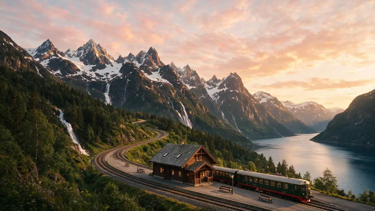
Flamsbana, known in English as the Flåm Railway, turns a relatively short descent between the mountain station of Myrdal and the fjord-side village of Flam into one of Norway’s most concentrated journeys through highland scenery and engineering.Flåm Line Opened to passengers in the early 1940s, the line drops hundreds of metres from the Bergen main line down to the inner arm of the Sognefjord, threading its way through tunnels, cliff faces and a steep valley.
A mountain descent carved between Myrdal and Flam
The essence of Flamsbana is its dramatic fall from the upland junction at Myrdal down to Flam at the head of Aurlandsfjord, a branch of the wider Sognefjord system.branch railway line running from Myrdal station Over roughly 20 km (12 mi), the railway line descends more than 800 m (2,625 ft), which gives it a reputation as one of the steepest standard-gauge adhesion railways used for regular passenger services in Europe.20 km long with a height difference of around 865 m The trains run on a single-track branch of the Bergen Line, bringing the main east–west railway across southern Norway directly down to sea level.
The alignment follows the valley of Flåmsdalen, a narrow corridor where rivers, waterfalls, farms and rocky slopes occupy almost every available ledge.runs through the valley of Flåmsdalen To make that descent workable, the engineers of the early twentieth century threaded a succession of tunnels through the mountainside; around twenty tunnels lie on the route, many cut by hand using dynamite drills and manual labour.line has 10 stations, 20 tunnels and a bridge Short open stretches between these enclosed sections reveal steep slopes, scattered houses and sudden views down to the valley floor.
Engineering a steep standard-gauge line in the twentieth century
Flamsbana sits within the wider history of Norway’s efforts to link its fjord settlements with the national railway network, a process that gathered pace during the early decades of the twentieth century.construction began in the 1920s Survey work for the line dates back to the late nineteenth century, and construction of the route from Flam up to Myrdal took place during the 1920s and 1930s, with passenger services beginning in 1941.opened to passengers in 1941 The project involved building a steep adhesion railway, meaning the trains rely on conventional steel wheels on steel rails rather than a rack-and-pinion system, which made the gradients and curvature a significant design challenge.
Most of the tunnels on Flamsbana were driven with hand tools and controlled explosives, rather than large mechanised equipment, which left a visible legacy in the short, curved tunnel profiles and the way the line hugs the terrain.tunnels were largely created by hand using dynamite The line was built as a branch off the Bergen Line, which itself crosses the high plateau of Hardangervidda, so trains on Flamsbana connect directly with long-distance services across southern Norway.branch line of the Bergensbanen Over time, its steep profile and compact sequence of tunnels, bridges and views have drawn travellers specifically for the journey itself as well as for onward connections.
A compact journey through fjord landscapes
Although the track length between Flam and Myrdal is short compared with major intercity routes, Flamsbana compresses a wide range of landscapes into about an hour of travel.journey stretches from the high mountain station of Myrdal down to Flåm The line starts near the high plateau where the Bergen Line crosses southern Norway and descends towards the innermost part of Aurlandsfjord, taking in steep mountain sides, narrow ledges and waterfalls that drop from the surrounding peaks.crosses lovely valleys, rugged mountains and scenic tunnels The lower terminus at Flam lies close to the water, where ferries and excursion boats run out into the Sognefjord and towards Nærøyfjord, which is part of a UNESCO-listed fjord landscape.
Stations along the route include small halts and viewpoints such as Kjosfossen, where the train stops beside a large waterfall, and intermediate stops like Vatnahalsen and Berekvam, giving the impression of a line stitched between scattered mountain communities.named stations along the route The trains used on Flamsbana are traditionally painted in deep green, and their relatively slow average speeds on the steep sections leave time to take in the changes in vegetation and terrain from upland slopes down to the fjord-side valley.old-fashioned green trains of Flåmsbana
Visiting Flamsbana: what travellers from Western Europe should know
- Flamsbana runs between Flam, on Aurlandsfjord in western Norway, and the mountain junction at Myrdal on the Bergen Line, linking directly with trains between Oslo and Bergen.
- The line climbs and descends through steep terrain with numerous tunnels and short open sections, so travellers spend extended periods on gradients and on a narrow single-track route.
- The official language in this part of Norway is Norwegian and the currency is the Norwegian krone.
- Entry requirements depend on your nationality; UK travellers can check the FCDO travel advice at gov.uk/foreign-travel-advice, Irish travellers the Department of Foreign Affairs at ireland.ie.
Searching for Flamsbana on social platforms
These links open searches for Flamsbana on each platform.
Frequently asked questions about Flamsbana
Where is Flamsbana and what does it connect?
Flamsbana runs between Flam on Aurlandsfjord in western Norway and the high-altitude station of Myrdal on the Bergen Line, connecting the fjord with the national rail network.
What should travellers expect on a journey with Flamsbana?
Travellers can expect a steep descent or climb through tunnels, valley sections and waterfall views, covering around 20 km of single-track railway between sea level and the mountain plateau.
What makes Flamsbana distinctive compared with other rail journeys?
Flamsbana stands out for combining a short travel distance with a large change in elevation, a series of hand-cut tunnels and close contact with Norway’s fjord and mountain landscapes along the valley of Flåmsdalen.


