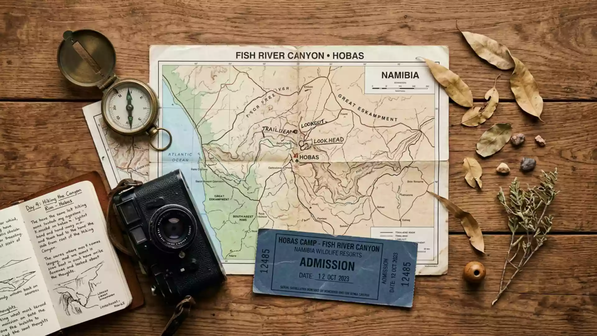
Fish River Canyon’s layered gorge near Hobas
Published on 08/28/2026 at 15:34 | Editorial responsibility: Rafael Müller, Editor-in-Chief AD HOC NEWS
Fish River Canyon near Hobas in southern Namibia is a long rock gorge where the Fish River has cut down through layered strata, exposing a deep cross-section of desert geology. The canyon forms part of the Ai-Ais/Richtersveld Transfrontier Park, linking Namibia with South Africa and giving this remote landscape protected status across the border.
A canyon carved into ancient rocks
Fish River Canyon runs through southern Namibia for around 160 km, with the meandering river incising a gorge that reaches depths close to 550 m and spans up to about 27 km in places.The canyon is 161 km long The main viewpoints near Hobas look over the northern section, where the canyon walls fall in terraces towards the broad floor and the winding channel of the Fish River.The Hobas Information Centre
The gorge cuts through flat-lying sedimentary rocks of the Nama Group and into older metamorphic basement rocks such as gneiss and granite, creating a visible contrast in colour and texture along the cliff faces.The canyon walls show Nama sediments In several places the nonconformable contact between the younger horizontal sediments and the tilted metamorphic rocks beneath can be seen clearly in the exposed profiles. Dolerite dykes intrude through these layers as darker bands, marking a later phase of magma movement within the crust.Doleritic magma intrusions
Geological time written into the canyon
The rocks visible in Fish River Canyon record a long sequence that began more than a billion years ago, when the Namaqualand Metamorphic Province formed as gneisses and related basement rocks at depth.Namaqualand metamorphic basement Later, during the Ediacaran and early Cambrian periods, shallow seas laid down the sandstones, shales and limestones of the Nama Group, creating sub-horizontal strata that still form much of the canyon rim and upper walls.sandstone, shale and limestone of the Nama group
Subsequent tectonic movements opened large fractures in the crust and created graben structures that guided the later course of the canyon, while erosion by water sculpted the present gorge out of this prepared framework.two distinct grabens Over millions of years the Fish River retained a meandering course as it cut down through both the sedimentary cover and the older metamorphic units, leaving abandoned bends, inner gorges and stepped valley profiles that can be traced from the viewpoints near Hobas.the river follows a meandering path
Hobas and the Ai-Ais/Richtersveld Transfrontier Park
Fish River Canyon lies within the Ai-Ais/Richtersveld Transfrontier Park, a cross-border conservation area jointly managed by Namibia and South Africa and covering desert mountains, canyons and dry river valleys.Ai-Ais Richtersveld Transfrontier Park On the Namibian side, Hobas serves as the main access point for canyon viewpoints, with park offices and facilities located close to the rim.Hobas houses Ministry offices
The principal viewpoints near Hobas offer broad panoramas over a section of the canyon where the inner gorge is particularly deep and the contrast between the upper plateau and the river corridor is stark.the main viewpoint near Hobas Further south, the canyon continues towards Ai-Ais, where hot springs mark another focus of visitor infrastructure at the end of the gorge. Together, the northern viewpoints and the southern thermal area frame the accessible parts of this long desert canyon for travellers crossing southern Namibia.Ai-Ais fact sheet
Visiting Fish River Canyon: what travellers from Western Europe should know
- Fish River Canyon lies in southern Namibia, with Hobas reached by road south from the central parts of the country and serving as the standard access point on the Namibian side.
- The viewpoints near Hobas stand on a desert plateau above the canyon rim, and short walks between viewing areas follow gravel paths with sections close to unfenced drops.
- The canyon forms part of the Ai-Ais/Richtersveld Transfrontier Park, so travellers see protected desert landscapes with sparse vegetation and distant low mountains beyond the gorge.
- The official language is English and the currency is the Namibian dollar.
- Entry requirements depend on your nationality; UK travellers can check the FCDO travel advice at gov.uk/foreign-travel-advice, Irish travellers the Department of Foreign Affairs at ireland.ie.
Searching for Fish River Canyon on social platforms
These links open searches for Fish River Canyon on each platform.
Frequently asked questions about Fish River Canyon
Where is Fish River Canyon in relation to Hobas?
Fish River Canyon stretches through southern Namibia, and the main viewpoints for travellers are located near Hobas, where park offices and facilities provide access to the rim.
What should visitors expect when they reach the canyon?
Visitors encounter a wide desert plateau that falls away abruptly into a deep gorge, with viewing areas overlooking layered rock walls, the winding Fish River and distant arid hills.
What makes Fish River Canyon distinctive among desert landscapes?
The canyon combines one of Africa’s largest gorges with rock walls that expose both horizontal sediments and older metamorphic basement, giving an unusually clear visual record of geological time.