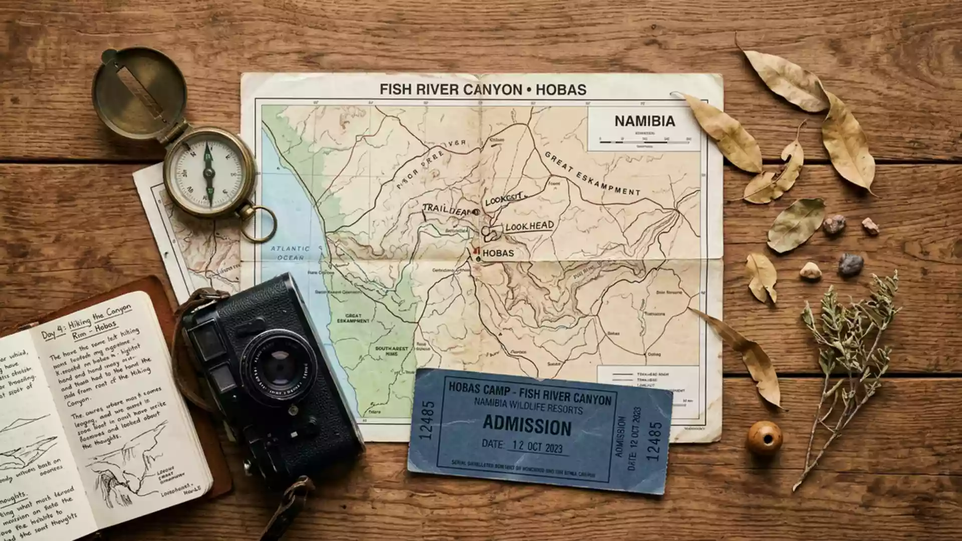
Fish River Canyon’s layered desert gorge near Hobas
Published on 09/01/2026 at 08:52 | Editorial responsibility: Rafael Müller, Editor-in-Chief AD HOC NEWS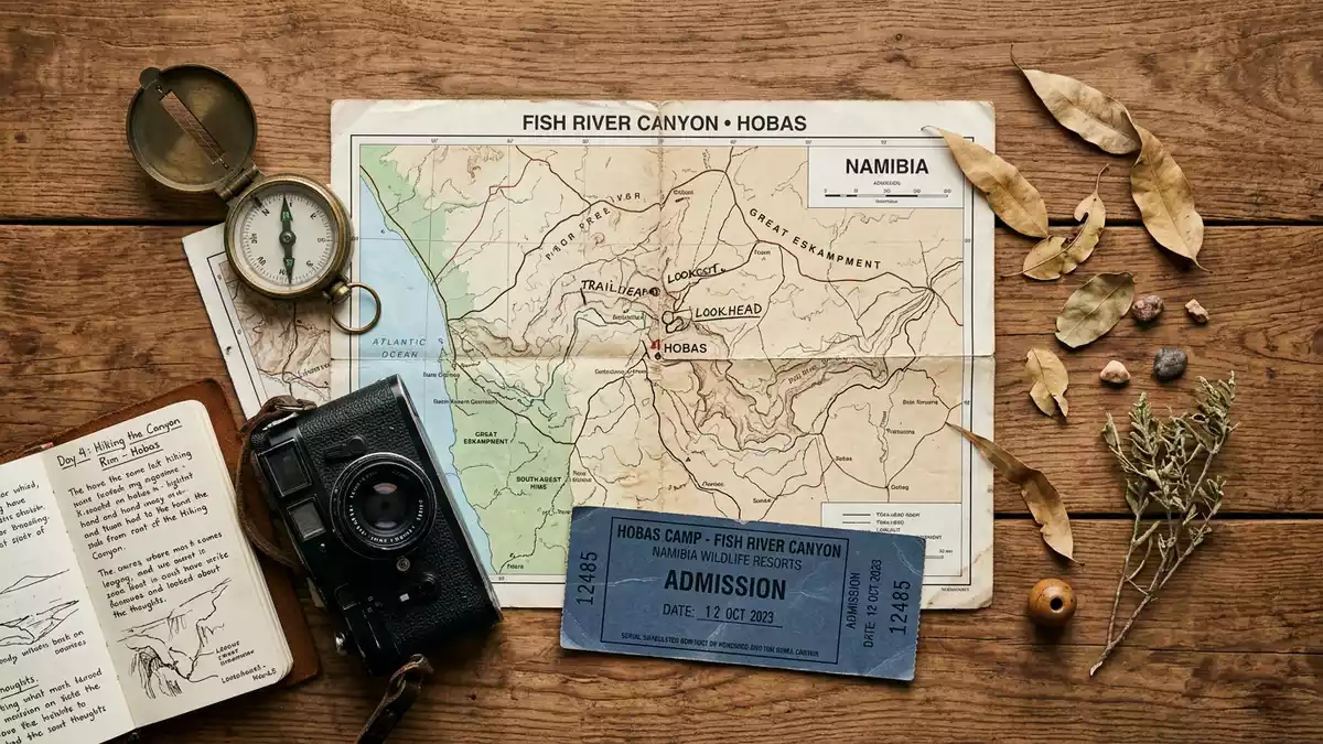
Fish River Canyon near Hobas in southern Namibia is a long desert gorge where the Fish River has carved down through layered rock, exposing a deep cross-section of the region’s geological history. The canyon stretches for about 160 km through the Huns Mountains and forms one of Africa’s largest continuous rock gorges.
A desert canyon shaped through deep time
Fish River Canyon lies in southern Namibia within the /Ai-/Ais-Richtersveld Transfrontier Park, in a dry interior landscape where exposed bedrock and sparse vegetation dominate the view.The canyon lies near Hobas in southern Namibia and follows the course of the Fish River, the country’s longest interior river.
The gorge is long, wide and deep on a scale that is unusual in the African context, with a length of about 160 km, widths reaching roughly 27 km and depths that approach around 550 m in the inner sections of the canyon.Figures for length, width and depth give a sense of how thoroughly the river has cut into the plateau. These dimensions mean that from the rim near Hobas the canyon floor lies several hundred metres below, with the opposite rim far across a broad, open void.
Layered strata above ancient metamorphic rocks
The canyon walls around Hobas expose a clear sequence of rock units from different geological periods. Near the rim, flat-lying sedimentary strata of the Nama Group – including sandstone, shale and limestone – form horizontal layers that give the upper canyon a banded appearance.Nama Group sandstones and limestones overlie older metamorphic rocks of the Namaqua Metamorphic Complex, such as gneiss, which are more irregular in texture.
In many cliff faces, the nonconformable contact between the younger horizontal sediments and the tilted metamorphic basement beneath can be seen as a line separating different colours and structures.The contact between Nama sediments and Namaqualand Complex rocks is a defining feature of the canyon’s geology. Dark dolerite or diabase dykes cut through these rocks as narrow, darker bands, recording later magma movement within the crust and adding further contrast to the walls.
Upper trough and inner gorge near Hobas
The overall form of Fish River Canyon around Hobas reflects both tectonic subsidence and erosion by water. The upper canyon forms a broad trough several kilometres wide, underlain by fault-bounded structures where the crust subsided along a graben aligned roughly north–south.Description of the upper tectonic trough Within this broader depression, the river has incised a narrower inner gorge that reaches the greater depths recorded in the geological surveys.
Along the rim road from Hobas, several viewpoints look across this structure towards the canyon’s most deeply cut section. The main viewpoint offers an outlook where the river’s meandering path can be traced along the canyon floor, while abandoned bends and stepped valley profiles indicate how the river has shifted and entrenched itself over geological time.Descriptions of the Hobas viewpoints From here, the contrast between the wide upper trough and the inner gorge is visible in the change of slope and the break in the canyon’s profile.
Visiting Fish River Canyon: what travellers from Western Europe should know
- Fish River Canyon lies in southern Namibia, with the principal viewpoints and camp near Hobas, reached on desert roads that approach the canyon rim from the interior.
- The viewpoints near Hobas stand on a rocky rim above steep canyon walls, and access paths follow uneven ground close to cliff edges where care with footing is important.
- The canyon forms part of the /Ai-/Ais-Richtersveld Transfrontier Park, and the landscape around Hobas is arid, with little shade away from built structures and a long open outlook over the gorge.
- The official language is English and the currency is the Namibian dollar.
- Entry requirements depend on your nationality; UK travellers can check the FCDO travel advice at gov.uk/foreign-travel-advice, Irish travellers the Department of Foreign Affairs at ireland.ie.
Searching for Fish River Canyon on social platforms
These links open searches for Fish River Canyon on each platform.
Frequently asked questions about Fish River Canyon
Where is Fish River Canyon and how is Hobas related to it?
Fish River Canyon lies in southern Namibia and runs between Seeheim in the north and Ai-Ais in the south, with Hobas near the main viewpoints on its northern section.
What should visitors expect when viewing the canyon near Hobas?
Visitors encounter a high desert rim overlooking a wide, deep gorge cut by the Fish River, with viewpoints that offer extensive views across layered rock walls and the meandering river below.
What makes Fish River Canyon distinctive compared with other desert landscapes?
The canyon combines great length, width and depth with clearly exposed sequences of sedimentary strata above ancient metamorphic rocks, creating a visible record of geological processes along its cliffs.