Fish River Canyon and the long sweep of Hobas
Published on 09/14/2026 at 17:53 | Editorial responsibility: Rafael Müller, Editor-in-Chief AD HOC NEWS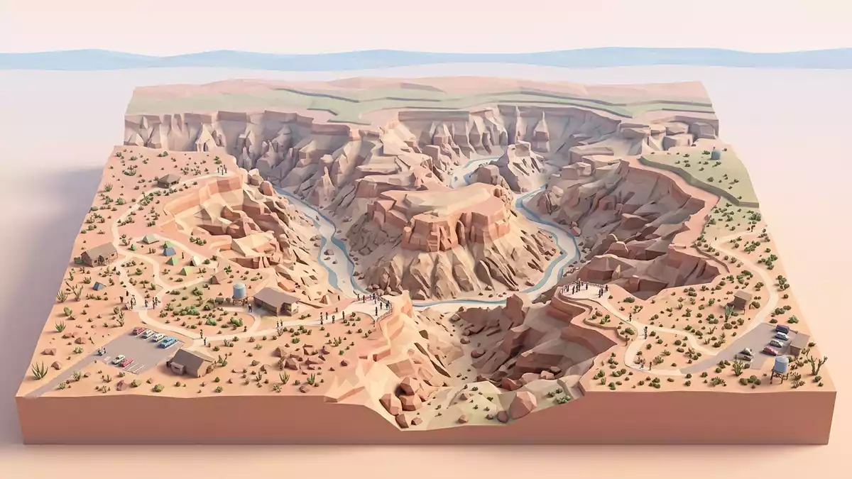
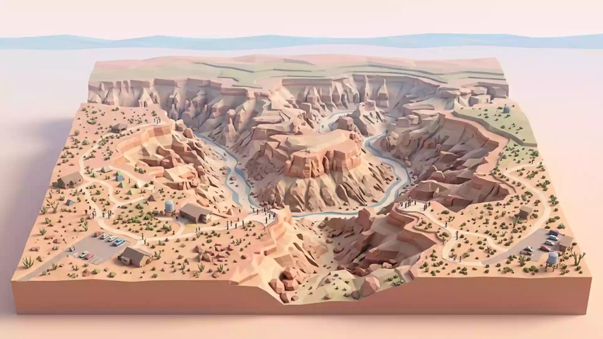
Fish River Canyon in southern Namibia is a canyon of long horizons and hard-edged rock, with Hobas serving as the usual access point on the Namibian side. The canyon runs for about 160 km (100 miles), reaches up to 27 km (17 miles) across and drops to about 550 m (1,804 ft) in places.
A canyon cut through the southern plateau
The canyon follows the Fish River through the arid south of the country and forms part of the /Ai-/Ais–Richtersveld Transfrontier Park. Its scale is easiest to grasp in the open air: a broad cut in the plateau, with layered walls and a long, dry sweep between the edges.Fish River Canyon
The name belongs to a landscape shaped by the river over a very long span of time. The canyon is linked with the southern reaches of Namibia's Fish River system and the conservation landscape shared with South Africa.shared with South Africa
Rock, river and the great cut
The walls reveal a geology of sedimentary layers and harder rock below, making the canyon a readable cross-section of southern Namibia's landforms. The Fish River has carved through the plateau to leave a corridor that is wide, steep-sided and deeply incised.sedimentary layers
The protected landscape includes the /Ai-/Ais–Richtersveld Transfrontier Park, a cross-border conservation area that links Namibia and South Africa. Hobas lies on the Namibian side and is the familiar starting point for seeing the canyon from above./Ai-/Ais–Richtersveld Transfrontier Park
Hobas and the canyon rim
Hobas is associated with the viewpoints above the gorge and with the route into the southern Namibian side of the park. The area connects the rim landscape with the broader desert setting around /Ai-/Ais and the Fish River corridor.
The canyon is a place of distance rather than enclosure, with the river line far below the rim in many sections. Its width, depth and length make the space read as a formation first, and a destination second.
Visiting Fish River Canyon: what travellers from Western Europe should know
- Hobas is the most familiar approach on the Namibian side, with road access through the park landscape south of Keetmanshoop. The canyon viewpoint area sits above the gorge rather than at river level.
- The terrain is arid and exposed, with steep-sided rock and long stretches of open ground. Any descent into the canyon belongs to the hiking route rather than a casual rim walk.
- The Fish River hiking trail follows the canyon floor for a long route and is associated with several days on foot. The trail is separate from the rim viewpoints.
- The official language is English and the currency is the Namibian dollar.
- Entry requirements depend on your nationality; UK travellers can check the FCDO travel advice at gov.uk/foreign-travel-advice, Irish travellers the Department of Foreign Affairs at ireland.ie.
Searching for Fish River Canyon on social platforms
These links open searches for Fish River Canyon on each platform.
Frequently asked questions about Fish River Canyon
Where is Fish River Canyon?
It lies in southern Namibia, near Hobas, within the /Ai-/Ais–Richtersveld Transfrontier Park. The canyon forms part of the Fish River system close to the border with South Africa.
What does a visit involve?
Most visitors encounter the canyon from the rim near Hobas, where the landscape opens to wide views over the gorge. The lower canyon is a separate hiking environment with steep ground and a long route.
What makes Fish River Canyon distinctive?
The main feature is scale: a long, wide and deeply cut canyon with exposed rock walls and a river line far below the rim. The combination of dry plateau, steep sides and cross-border conservation land gives it a clear geographical identity.