
Fish River Canyon and its layered desert gorge
Published on 09/23/2026 at 11:03 | Editorial responsibility: Rafael Müller, Editor-in-Chief AD HOC NEWS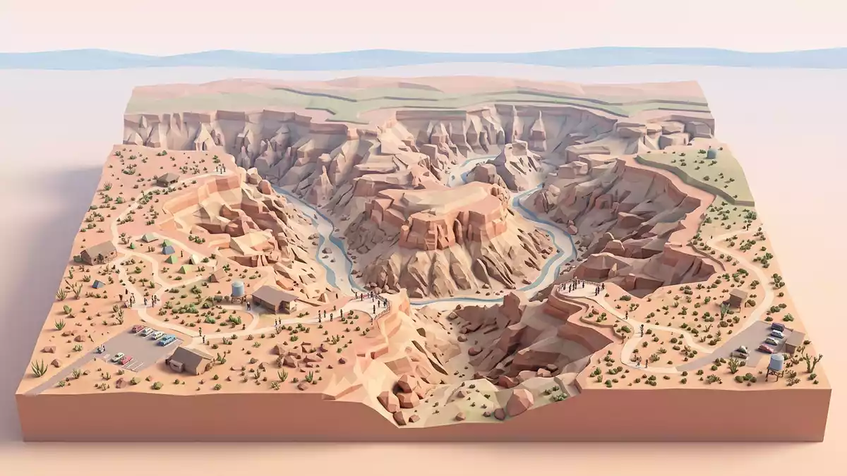
Fish River Canyon is a vast desert gorge in southern Namibia, viewed most accessibly from the settlement of Hobas. Its scale is expressed in two directions: the canyon extends for about 160 kilometres, while parts of the lower gorge descend almost 550 metres into the plateau.
From the rim, the landscape appears as a sequence of bends, terraces and exposed rock layers. The Fish River occupies the canyon floor, while the upper and lower sections display different widths, depths and geological forms.
Fish River Canyon’s long descent through southern Namibia
Fish River Canyon follows the lower course of the Fish River, which flows southwards towards the Orange River. The main canyon extends from the area near Seeheim towards Ai-Ais, with Hobas beside the northern viewpoint area.
The canyon is about 160 kilometres long and reaches a width of up to 27 kilometres. Its deepest sections approach 550 metres, creating a vertical landscape of escarpments, shelves and winding channels. Fish River Canyon’s dimensions are recorded in several Namibian travel references.
Rock layers from the Nama and Namaqua formations
The gorge exposes several major geological units. Sandstone, shale and limestone associated with the Nama Group form broad layers in the upper walls and rim landscape.
Deeper sections expose gneiss and related metamorphic rocks of the Namaqua Metamorphic Complex. These rocks formed far earlier than the sedimentary layers above them, giving the canyon a visible geological sequence from plateau to river.
The upper canyon is broader and shallower than the lower canyon. The lower section measures between 460 and 550 metres in depth and about 5 kilometres in width, while the upper section reaches about 8 kilometres across and is between 160 and 190 metres deep. The canyon’s upper and lower forms are recorded in the UNESCO tentative-list description.
Gondwana, uplift and the Fish River channel
The canyon’s geological history reaches back hundreds of millions of years. During the Dwyka glacial period, an early valley formed in the region and accumulated sediments that later became part of the surrounding rock sequence.
The break-up of Gondwana affected the wider southern African landscape. Africa rose as the continental plates separated, and the Fish River cut more deeply into the plateau. The resulting gorge combines older metamorphic basement with younger sedimentary rocks.
The Namaqua Metamorphic Complex includes rocks formed roughly 1,300 million years ago. Geological descriptions also connect the canyon’s modern development with continental separation and uplift beginning about 130 million years ago. The canyon’s geological sections distinguish the tectonic upper canyon from the more deeply eroded lower gorge.
Visiting Fish River Canyon: what travellers from Western Europe should know
- Fish River Canyon lies in southern Namibia, with the principal viewpoint area near Hobas. Road access leads towards the rim, while the Fish River continues south towards Ai-Ais.
- The landscape includes a high plateau rim, exposed rock terraces and steep drops. The canyon floor lies far below the viewpoints, and the lower gorge has a depth approaching 550 metres.
- Hobas is associated with the northern viewpoint area, while Ai-Ais marks the southern end of the wider canyon landscape.
- The official language is English and the currency is the Namibian dollar.
- Entry requirements depend on your nationality; UK travellers can check the FCDO travel advice at gov.uk/foreign-travel-advice, Irish travellers the Department of Foreign Affairs at ireland.ie.
- Conditions on the mountain change with the seasons; the local cable-car operators and alpine clubs provide information.
Searching for Fish River Canyon on social platforms
These links open searches for Fish River Canyon on each platform.Frequently asked questions about Fish River Canyon
Where is Fish River Canyon?
Fish River Canyon is in southern Namibia, near Hobas. The canyon follows the lower Fish River towards Ai-Ais and the Orange River.
What can visitors expect at Fish River Canyon?
Visitors encounter a high rim, broad desert views, layered rocks and steep descents into the lower gorge. The principal viewpoint area is near Hobas.
What makes Fish River Canyon distinctive?
Its distinctive character comes from the combination of great length, deep lower sections and contrasting rock formations. The canyon extends about 160 kilometres and reaches almost 550 metres in depth.


