
Etosha National Park and its vast white pan around Okaukuejo
Published on 09/10/2026 at 17:52 | Editorial responsibility: Rafael Müller, Editor-in-Chief AD HOC NEWS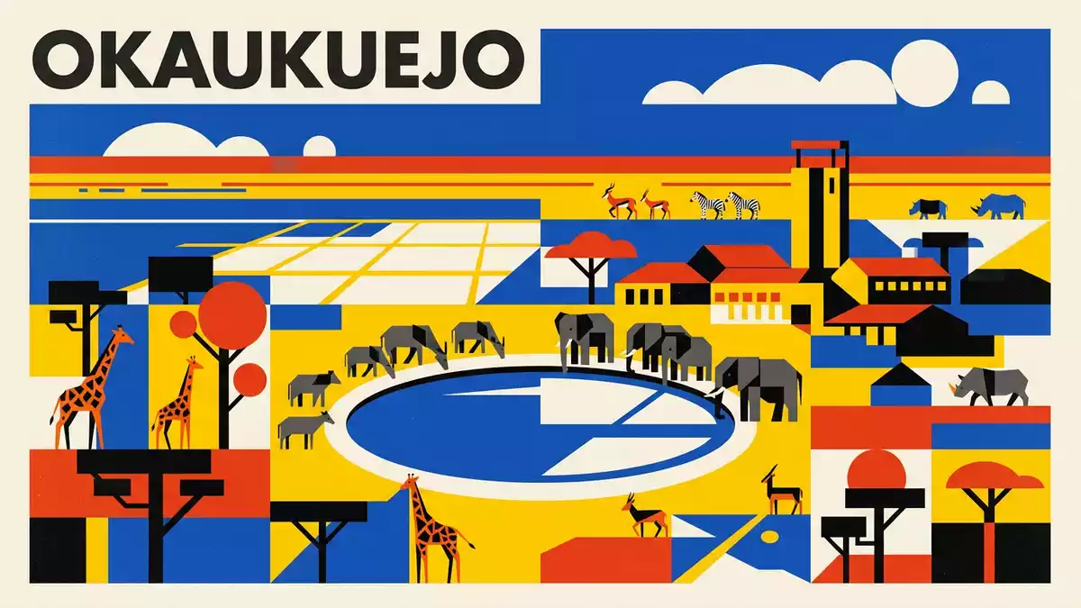
Etosha National Park in northern Namibia centres on an immense salt pan that shapes both the landscape and the way wildlife moves across it. Anchored by the long-established Okaukuejo area in the south, this expanse of pale clay and surrounding savannah has become one of southern Africa’s best known wildlife regions since its proclamation as a game reserve in 1907.
The great white place and its salt pan
The defining feature of Etosha National Park is the Etosha Pan, a broad salt flat that dominates the northern part of the protected area. The name “Etosha” is commonly translated as “Great White Place”, a reference to the pale mineral-rich clay that dries to a shimmering surface for much of the year.The name Etosha points directly to this vast depression, which occupies a sizeable share of the park.
Geologically, the pan lies within the Cuvelai–Etosha Basin and is classified as an endorheic salt pan, meaning that water flowing into it does not drain to the sea but evaporates or sinks into the ground.The Etosha Pan as an endorheic basin is mostly dry, yet in wetter spells a thin sheet of water can spread across parts of its flat floor. The surface consists largely of saline clay, with surrounding soils tending towards shallow, calcrete-rich ground that supports grassland and thornbush.
From early game reserve to modern national park
Etosha was formally declared a game reserve in 1907 under colonial administration and has since evolved into a national park that covers tens of thousands of square kilometres across northern Namibia.The proclamation in 1907 marks the beginning of structured protection for wildlife and habitats around the pan. Over the twentieth century, boundaries were adjusted and management shifted, but the central role of the salt pan as the focus of conservation remained.
The park spans a broad sweep of semi-arid savannah, with the pan forming an almost continuous hollow inside it.Descriptions of Etosha’s extent emphasise how this protected area wraps around the pan, enclosing additional smaller pans and patches of mopane and acacia woodland. Okaukuejo, in the southern sector, developed as a major camp and administrative centre, making the interplay between the wide-open pan and more vegetated surroundings a recurring experience for visitors.
Waterholes, wildlife and the Okaukuejo viewpoint
In a landscape dominated by mineral-rich clay and seasonal water, the scattered springs and human-managed waterholes around Okaukuejo play an outsized role. Groundwater rising where carbonate rocks meet more impermeable sediments feeds natural springs in and around the pan, creating localised patches of permanent or near-permanent water.The Etosha Pan hydrogeology explains how water from dolomites in the Otavi Mountainland emerges as springs at the basin margin.
Okaukuejo developed beside one of these concentrations of water, and the area around the camp is ringed by artificial and natural waterholes in the surrounding savannah. From dry-season ground, wildlife ranging from antelope to elephants and black rhinoceroses converges on these points. The combination of open views across gently undulating bush and the backdrop of the pale pan in the middle distance is one of the visual signatures of Etosha National ParkDescriptions of Etosha’s characteristic landscape.
Visiting Etosha National Park: what travellers from Western Europe should know
- Etosha National Park lies in northern Namibia, with Okaukuejo situated in the southern sector of the park and reached by road from towns such as Outjo and Otjiwarongo.
- The terrain around Okaukuejo consists of level or gently undulating ground with dry-season dust, hardened clay surfaces on and near the pan, and gravel tracks leading to various waterholes.
- In the broader park, the Etosha Pan forms a flat expanse of saline clay, while surrounding areas carry grassland and thornbush savannah that can feel exposed under strong sun.
- The official language is English and the currency is the Namibian dollar.
- Entry requirements depend on your nationality; UK travellers can check the FCDO travel advice at gov.uk/foreign-travel-advice, Irish travellers the Department of Foreign Affairs at ireland.ie.
Searching for Etosha National Park on social platforms
These links open searches for Etosha National Park on each platform.Frequently asked questions about Etosha National Park
Where is Etosha National Park in relation to Okaukuejo?
Etosha National Park is in northern Namibia, with Okaukuejo located in its southern part and serving as a major camp and focal point for the surrounding area.
What should visitors expect on a visit to Etosha National Park?
Visitors encounter wide views over the pale Etosha Pan, surrounding savannah and multiple waterholes near Okaukuejo, where wildlife congregates especially in drier periods.
What makes Etosha National Park distinctive among African parks?
The presence of the large Etosha Pan, an endorheic salt basin within a protected savannah landscape, gives the park a combination of open white clay flats and adjoining bush that is unusual in its scale.


