
Etosha National Park and its great white salt pan
Published on 09/23/2026 at 09:40 | Editorial responsibility: Rafael Müller, Editor-in-Chief AD HOC NEWS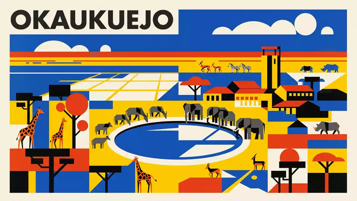
Etosha National Park is a protected landscape in northern Namibia, centred on the vast Etosha Pan. Near Okaukuejo, open savannah, pale salt earth and wildlife waterholes form a scene unlike a conventional woodland safari.
Etosha National Park begins with the Etosha Pan
The Etosha Pan is the park’s defining landform, a broad mineral surface occupying the centre of the protected area. Its pale ground belongs to the terminal basin of the Cuvelai drainage system, set within the Ovambo Basin at more than 1,000 m above sea level.
The pan is a remnant of a much larger lake system. River flow no longer maintains a permanent lake across the basin, leaving an expanse of saline clay, chalky sediment and sparse vegetation. During exceptional wet seasons, shallow water can cover parts of the pan, changing its appearance without altering its underlying character.
The name Etosha comes from an Ovambo word translated as “great white place”. The description fits the wide, open surface, whose light colour contrasts with the darker grasses and shrubs surrounding it. Etosha Pan’s basin setting is recorded at elevations between 1,071 and 1,086 m.
From a 1907 reserve to a Namibian national park
Etosha’s protected status began in March 1907, when Friedrich von Lindequist, governor of German South West Africa, proclaimed a game reserve. The designation belongs to the colonial history of the territory that became Namibia.
The reserve changed in size and legal form during the twentieth century. Its status became that of a national park in 1967, and its established park area is about 22,270 km². This history places Etosha among Africa’s long-established protected wildlife landscapes.
Okaukuejo is associated with the park’s southern sector and functions as an administrative and visitor centre. The settlement’s name belongs to the everyday geography of Etosha, alongside Halali, Namutoni, the Anderson Gate and the waterholes scattered across the savannah.
The park’s 1907 protected-area history remains part of its identity. The landscape is therefore both a wildlife reserve and a record of changing boundaries, administrations and conservation categories.
Wildlife around water, grass and salt
Etosha National Park contains open grassland, mopane shrubland, woodland and saline pans. The flat terrain is interrupted by isolated higher ground, while waterholes form named points across the wider landscape.
Large mammals include elephant, lion, giraffe, leopard, black rhinoceros, white rhinoceros, zebra, springbok, gemsbok and wildebeest. Black-faced impala and Damara dik-dik add species closely associated with northern Namibia.
Birdlife includes ostrich, kori bustard, flamingos, vultures, raptors, parrots and other species recorded across the park’s habitats. The contrast between a nearly bare pan and surrounding vegetation gives the animal life a clear geographical setting.
Okaukuejo is linked with a floodlit waterhole inside the camp. The water lies beside a stone viewing area, and the scene combines a constructed edge with the open habitat beyond it. Etosha’s recorded wildlife includes more than 400 bird species and more than 100 mammal species.
Visiting Etosha National Park: what travellers from Western Europe should know
- Etosha National Park lies in northern Namibia, with Okaukuejo near the southern edge. The Anderson Gate provides access from the south, while the B1 connects the wider region with northern Namibia.
- The landscape is largely flat and open, but the park includes salt surfaces, sandy tracks, grassland and isolated rocky areas. Walking routes and viewpoints differ in ground texture and exposure.
- Okaukuejo, Halali and Namutoni are named camp areas within the park. Waterholes and the Etosha Pan are separate landscape features, not interchangeable names for the same place.
- The official language is English and the currency is the Namibian dollar.
- Entry requirements depend on your nationality; UK travellers can check the FCDO travel advice at gov.uk/foreign-travel-advice, Irish travellers the Department of Foreign Affairs at ireland.ie.
Searching for Etosha National Park on social platforms
These links open searches for Etosha National Park on each platform.Frequently asked questions about Etosha National Park
Where is Etosha National Park?
Etosha National Park is in northern Namibia. Okaukuejo lies near its southern sector and is associated with the Anderson Gate.
What can travellers expect there?
The park combines open savannah, salt pans, waterholes and wildlife. Elephant, lion, giraffe, rhinoceros, zebra and springbok are among its recorded mammals.
What makes Etosha distinctive?
The Etosha Pan gives the park its pale central landscape and its name. Its saline surface contrasts with surrounding grassland, shrubland and woodland.


