

Eryri’s mountain country above Llanberis
Published on 08/27/2026 at 09:40 | Editorial responsibility: Rafael Müller, Editor-in-Chief AD HOC NEWS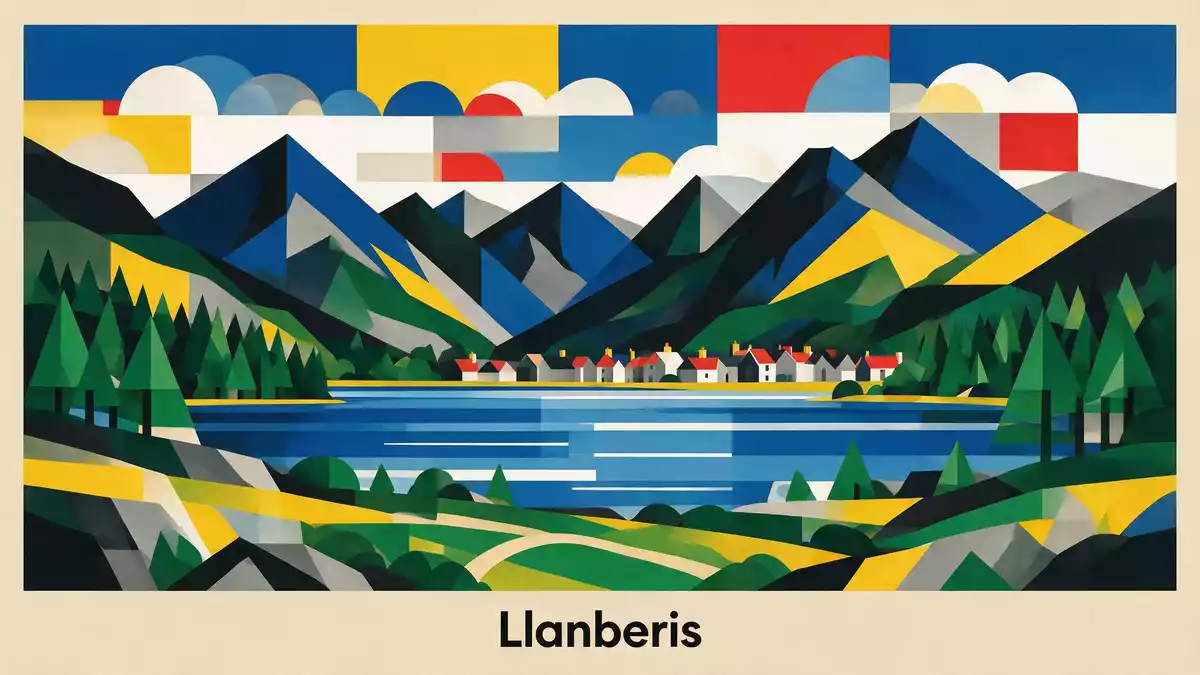
Eryri, the Welsh name for the national park that English speakers know as Snowdonia, is a mountain landscape where rock, water and weather dominate every view. Designated as a national park in 1951, it stretches across north-west Wales, with Llanberis sitting close to some of its most dramatic peaks and passes.
Mountains, ridges and lakes on a national park scale
Eryri is a mountainous region of Wales, recognised as a national park under the National Parks and Access to the Countryside Act 1949 and formally established in October 1951. Covering around 2,130 km², it extends across much of central and southern Gwynedd and western Conwy, taking in a wide sweep of upland plateaux, ridges and deep valleys.The park has an area Large expanses of open moorland sit beside rocky summits, with patches of woodland and scattered farms breaking up the higher ground.
Nine named mountain ranges fall within Eryri’s boundary, including the Carneddau, the Glyderau, the Moelwynion and the Aran range.Nine mountain ranges fall Among them is Yr Wyddfa, also known as Snowdon, which rises to 1,085 m (3,560 ft) and stands as the highest mountain in Wales and in England and Wales together.the highest mountain in England and Wales Glacial lakes lie in the hollows beneath these peaks, and long ridges run down towards valley floors where villages such as Llanberis sit close to the water.
A Welsh cultural landscape shaped into a park
The national park status of Eryri dates to 18 October 1951, when it became one of the early national parks designated in Britain.Eryri was designated an official National Park on 18 October 1951 It followed the Peak District and the Lake District, and was the first national park in Wales created under the post-war framework for landscape protection. The boundaries mapped out in 1950 pulled together uplands, coast and farmland into a single protected area.
The authority that oversees Eryri functions as a local planning body and as the guardian of the park’s landscapes and settlements.Eryri is Wales’ largest National Park Around 26,000 people live within the park, in towns, villages and scattered farmsteads that use Welsh as a community language and draw on local farming, tourism and small-scale industry.home to over 26,000 people The Welsh names Eryri and Yr Wyddfa appear across signs, waymarkers and information boards, underlining that the park is as much a cultural region as a physical one.
Llanberis at the foot of Yr Wyddfa
Llanberis sits in a long north-western valley within Eryri, close to Llyn Padarn and framed by steep slopes that rise towards the Yr Wyddfa massif. The village developed along the valley floor, with roads and paths running towards passes and higher ground, and with former slate workings cut into the surrounding hillsides.
The presence of the national park around Llanberis means that high summits, lakes and wooded slopes are all within easy reach of the settlement. A heritage railway runs along the lakeside in the valley, while the broader park landscape stretches away in multiple directions with further peaks, rivers and grazing land beyond.Around 4 million people visit Eryri every year Glimpses of higher ridges and cliffs from the streets of Llanberis give a sense of how closely built-up areas and mountain terrain sit together in this part of Eryri.
Visiting Eryri: what travellers from Western Europe should know
- Eryri lies in north-west Wales in the United Kingdom, with Llanberis in the county of Gwynedd and major routes linking the area to the wider road network.
- The terrain around Llanberis includes steep slopes, rocky paths and high ground, with some routes gaining significant height over a relatively short distance.
- Weather on the peaks of Eryri can differ markedly from conditions in the valleys, and visibility on the ridges may reduce quickly in poor conditions.
- Rivers, lakes and former industrial workings lie close to settlements in parts of the park, so paths may pass near water, old quarries and uneven ground.
- The official languages are Welsh and English and the currency is the pound sterling.
Searching for Eryri on social platforms
These links open searches for Eryri on each platform.
Frequently asked questions about Eryri
Where is Eryri and how does Llanberis fit into it?
Eryri is a national park in north-west Wales, and Llanberis is a village within the park, set in a long valley beneath the Yr Wyddfa massif.
What should visitors expect from the landscape?
Visitors encounter mountain ranges, glacial lakes, steep ridges and deep valleys, with settlements such as Llanberis sitting close to both water and high ground.
What makes Eryri distinctive among British national parks?
Eryri combines the highest mountain in Wales and England, a concentration of multiple mountain ranges and a strong Welsh-language cultural landscape within a single protected area.


