
Eryri’s high peaks and glacial lakes around Llanberis
Published on 09/09/2026 at 21:53 | Editorial responsibility: Rafael Müller, Editor-in-Chief AD HOC NEWS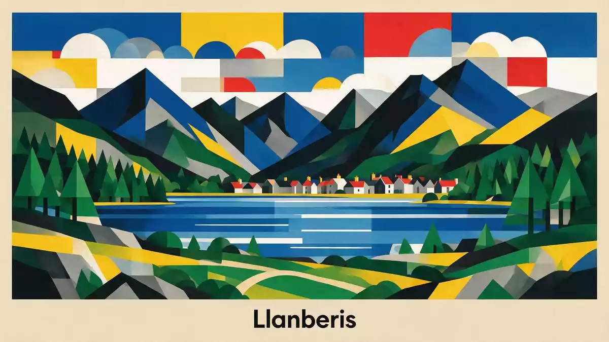
Eryri, known in English as Snowdonia National Park, is a mountainous landscape in North Wales where high peaks, glacial lakes and slate quarries meet around the village of Llanberis. Set within Wales in the United Kingdom, the park was designated as a National Park in October 1951, anchoring this rugged corner of Gwynedd and Conwy as protected countryside with long-established walking routes and traditional communities.
Mountains of Eryri and the summit of Yr Wyddfa
Eryri is defined by a cluster of mountain ranges that rise above valleys and lakes, giving the park its distinctive skyline and steep-sided ridges. Within its boundaries stand all the Welsh mountains above 3,000 ft, including Yr Wyddfa, the highest summit in Wales, and rocky groups such as the Glyderau and Carneddau which frame the northern part of the park. Walkers encounter rounded slopes in some areas and broken crags in others, with higher ground giving extensive views towards the Irish Sea and the inland hills.
Among these peaks, Yr Wyddfa rises above Llanberis and draws many mountain visitors each year, both along footpaths and on the mountain railway that climbs from the village to the upper slopes. The lower terminus of the Snowdon Mountain Railway stands close to the centre of Llanberis, making the settlement a recognised gateway to the summit area. Routes from the village reach open slopes, passing old slate workings and outcrops before reaching the upper reaches where rock and thin mountain grass dominate.
Llanberis between lake and slate
Llanberis sits at the foot of Yr Wyddfa between the long waters of Llyn Padarn and Llyn Peris, giving the village a close relationship with both lake and mountain. Llyn Padarn is a glacially carved lake stretching for several kilometres, with tree-lined banks and views towards the surrounding hills and the terraced faces of the former Dinorwic slate quarry above. The lakeside is part of Llyn Padarn Country Park, where paths follow the shore and a narrow-gauge railway runs near the water, reflecting the area’s industrial and transport heritage. The village between Llyn Padarn and Llyn Peris shows how human settlement, quarrying and glacial landforms sit side by side in Eryri.
Slate working shaped much of Llanberis and the surrounding hillsides, with huge stepped quarry faces cut into the mountains above the village. The National Slate Museum occupies buildings linked to these workings, presenting the history of the Welsh slate industry which expanded during the nineteenth century and left rows of abandoned machinery, workshops and inclines on the slopes. The National Slate Museum in Llanberis sits within former quarry buildings, giving visitors a direct sense of the industrial structures and scale of the slate trade that once dominated this part of North Wales.
Paths, lakes and routes around Yr Wyddfa
Eryri is a National Park where walking is central to how people experience the landscape, and the area around Llanberis offers several established routes. The Llanberis Path is one of the main ways of reaching the summit of Yr Wyddfa on foot, beginning near the village and climbing through fields and past old buildings before reaching open mountain slopes. The Llanberis Path follows a steady gradient for much of its length, with sections running near the Snowdon Mountain Railway track, and is graded by the park authority as a hard and strenuous route suited to experienced hill walkers.
Llyn Padarn and the surrounding country park provide lower-level walking with views towards Yr Wyddfa and the Dinorwic quarry instead of steep inclines. Paths circle parts of the shore, giving changing perspectives on the lake’s length and the wooded slopes above the water. A narrow-gauge line, the Llanberis Lake Railway, runs alongside sections of the lake, using small trains on a limited track to connect viewpoints and historic locations linked to the slate industry. The Llanberis Lake Railway illustrates how former industrial corridors have become part of leisure routes in the park, linking benches, jetties and viewpoints while still showing traces of their original purpose.
Visiting Eryri: what travellers from Western Europe should know
- Eryri lies in North Wales within the United Kingdom, with Llanberis on the northern side of Yr Wyddfa and connected by roads to Bangor, Caernarfon and the wider Welsh road network.
- The terrain around Llanberis includes steep mountain paths, long lakeside walks and former quarry inclines, so routes to Yr Wyddfa involve sustained gradients and rough ground underfoot.
- The official language of Wales is Welsh alongside English, and the national currency is the pound sterling (GBP).
Searching for Eryri on social platforms
These links open searches for Eryri on each platform.
Frequently asked questions about Eryri
Where is Eryri and how does Llanberis fit within it?
Eryri is a National Park in North Wales, and Llanberis is a village on its northern side at the foot of Yr Wyddfa beside Llyn Padarn.
What should visitors expect from the landscape around Llanberis?
The landscape combines steep mountain slopes, long glacial lakes and extensive slate quarry terraces, with walking routes at both high level and around the shore.
What makes Eryri and Llanberis distinctive among British mountain areas?
The combination of Wales’s highest summit, glacial lake scenery and a major slate-quarrying heritage around Llanberis gives Eryri a distinctive mix of natural and industrial features.


