
Eryri: mountains shaped by fire, ice and slate
Published on 09/24/2026 at 05:19 | Editorial responsibility: Rafael Müller, Editor-in-Chief AD HOC NEWS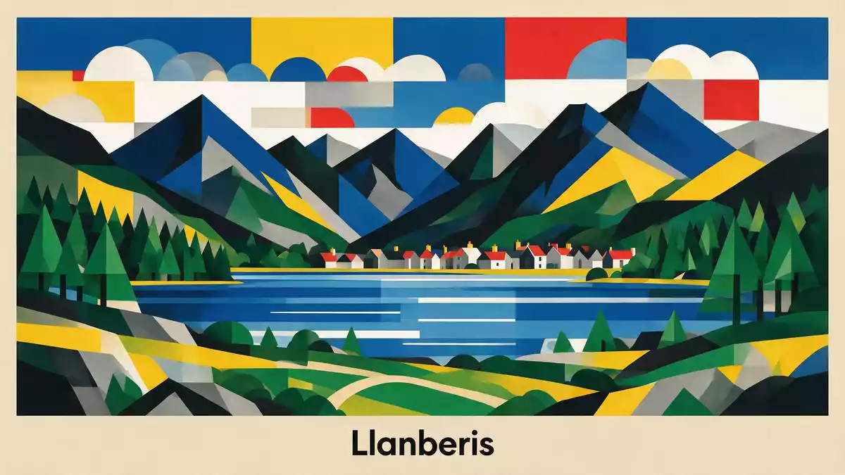
Eryri, known in English as Snowdonia, is a national park in north-west Wales where volcanic rock, glacial valleys and slate landscapes meet. Above Llanberis, Yr Wyddfa forms the park’s most recognisable mountain scene, while railways, paths and settlements connect the high country with its industrial past.
Yr Wyddfa above Llanberis
Yr Wyddfa is the highest mountain in Wales and England, rising to 1,085 m (3,560 ft). Its summit belongs to a larger massif of ridges, cliffs and valleys, with Llanberis positioned beneath its northern slopes.
The Snowdon Mountain Railway has connected Llanberis with the upper mountain since 1896. The rack railway follows the slopes towards Hafod Eryri, the summit visitor centre, while the Llanberis Path rises beside the line.
Volcanoes, tectonic forces and glaciers
Eryri’s geology begins more than 625 million years ago. Marine sediments, volcanic eruptions and tectonic movements formed layers of rock that were folded, hardened and exposed across north Wales.
Glaciers shaped the valleys that define the landscape. Dyffryn Ogwen, Nant Gwynant and Nant Peris contain U-shaped valleys, while Cwm Idwal preserves a bowl-shaped glacial landscape surrounded by crags and folded rock. The geology of Eryri combines volcanic, sedimentary and glacial features within a compact mountain region.
Slate, castles and a national park
Rock remains central to Eryri’s cultural history. Welsh slate appears in quarries, buildings and industrial remains across the park, linking mountain geology with the communities that worked its resources.
The landscape also contains Roman forts, roads, burial chambers, cairns and medieval castles associated with Welsh princes. Eryri became a national park in October 1951, and its history and heritage remain visible in villages, valleys and archaeological sites.
Visiting Eryri: what travellers from Western Europe should know
- Eryri lies in north-west Wales, and Llanberis is a principal gateway to Yr Wyddfa. The Snowdon Mountain Railway begins in Llanberis.
- The high terrain includes steep mountain paths, exposed rock, ridges and glacial valleys. The Llanberis Path climbs from the village towards the summit.
- The official language is Welsh and English, and the currency is the pound sterling.
- Llanberis lies beside Llyn Padarn and the National Slate Museum, placing mountain scenery beside industrial heritage.
Searching for Eryri on social platforms
These links open searches for Eryri on each platform.
Frequently asked questions about Eryri
Where is Eryri?
Eryri is a national park in north-west Wales. Llanberis lies within the park, beneath Yr Wyddfa and beside Llyn Padarn.
What can a visit to Eryri include?
A visit can combine mountain paths, railway travel, slate heritage, archaeological sites and views across glacial valleys. High routes involve steep ground and exposed rock.
What makes Eryri distinctive?
Its landscape brings together volcanic and sedimentary rock, glacial valleys, Welsh slate and a long cultural history. Yr Wyddfa and Llanberis place these elements within a single mountain setting.


