
Emerald Bay’s blue?green inlet above South Lake Tahoe
Published on 08/14/2026 at 14:08 | Editorial responsibility: Rafael Müller, Editor-in-Chief AD HOC NEWS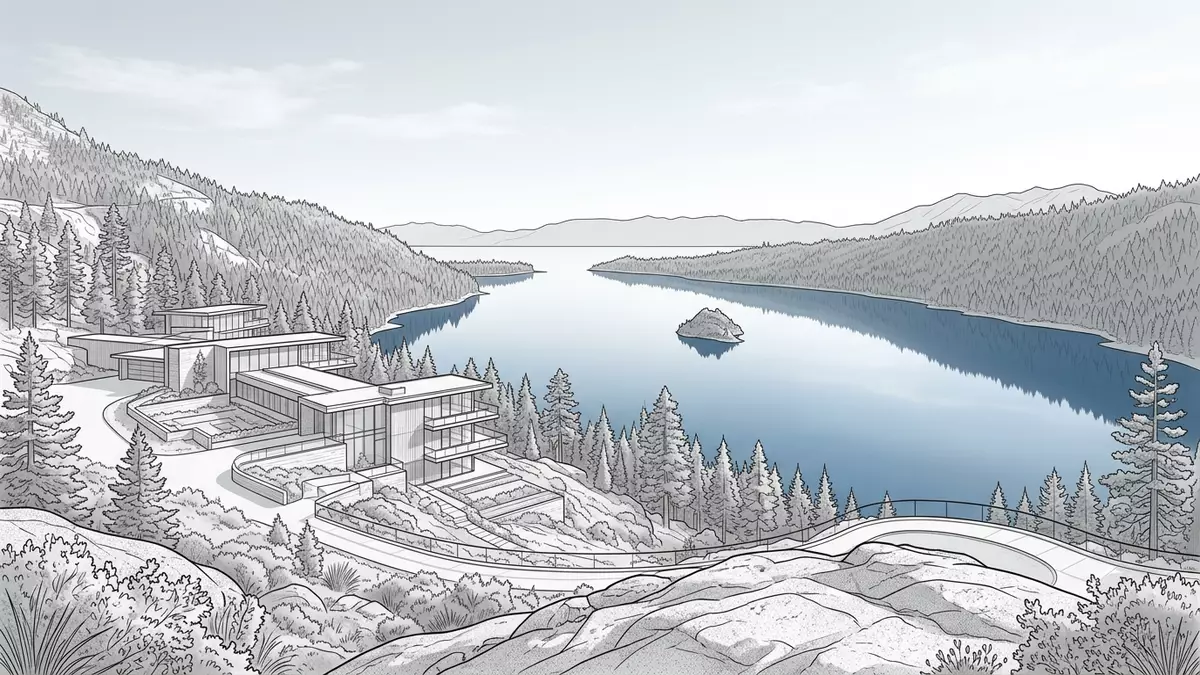
Emerald Bay is a sheltered, blue?green inlet on the western shore of Lake Tahoe, framed by steep granite slopes and forested ridges above South Lake Tahoe in California. Set within Emerald Bay State Park, it combines striking mountain scenery with the calm water of the bay and a small island rising from the lake’s surface.
The bay, the island and the surrounding granite
Emerald Bay sits on the south-western side of Lake Tahoe, in the Sierra Nevada of California, where a glacier-carved basin opens out towards the wider lake. The inlet forms a distinct indentation in the shoreline, enclosed by high slopes of weathered granite that drop towards the water and carry conifer forest along the ridges above.glacier-carved granite Within the bay lies Fannette Island, the only island in Lake Tahoe, a rocky outcrop that rises from the water and is surrounded on all sides by the inlet.the only island in Lake Tahoe
The water in Emerald Bay has a blue?green colour distinct from the deeper blue of the main lake, a result of the bay’s shallower depth and the surrounding geology. On the slopes above, viewpoints along the highway give wide views across the inlet, the island and the outer lake, with the dark evergreen forest contrasting against the lighter rock and the water below.blue-green body of water The setting shows clearly how the bay sits as a partly enclosed arm of Lake Tahoe within a larger mountain basin.
Emerald Bay State Park and its protected landscape
Emerald Bay is the focus of Emerald Bay State Park, a protected area of over 1,500 acres that covers the wooded slopes, shoreline and underwater landscape around the inlet.spans 1,533 acres The state park preserves the granite terrain, the forest and the bayside beaches, while also encompassing an underwater state park where historic vessels rest on the lakebed.Emerald Bay Underwater State Park
The protected status of Emerald Bay dates back to the mid?twentieth century, when the area was established as a state park, and its natural setting has been recognised as a National Natural Landmark since the late 1960s.National Natural Landmark The park sits just south of D.L. Bliss State Park along California State Route 89, forming a continuous stretch of public land along one of the most scenic sections of road around Lake Tahoe.D.L. Bliss and Emerald Bay State Park Together, these parks protect both the lakeshore and the mountain slopes that rise above it.
Vikingsholm, trails and the lakeshore
On the western shore of Emerald Bay stands Vikingsholm, a substantial summer home built in a Scandinavian style for Lora J. Knight in the late 1920s.Scandinavian style summer home The building sits close to the water’s edge, surrounded by trees, and forms a focal point at the end of the trail that descends from the highway to the lakeshore. From the shore near Vikingsholm, the bay appears enclosed by the surrounding slopes, with Fannette Island rising further out in the water.
Several trails pass through Emerald Bay State Park, connecting viewpoints, forested slopes and the shoreline. The Rubicon Trail follows the edge of Lake Tahoe between D.L. Bliss State Park and Emerald Bay, giving repeated views across the lake and the bay from varying heights.Rubicon Trail Near the water, beaches lie close to Vikingsholm and further north at a boat-in campground, reached either by footpath or by boat across the bay.beaches are accessed via the Rubicon Hiking Trail or by boat
Visiting Emerald Bay: what travellers from Western Europe should know
- Emerald Bay lies west of South Lake Tahoe in California, along California State Route 89 on the south-western shore of Lake Tahoe, within Emerald Bay State Park.
- The terrain around the bay is steep and rocky, with trails that descend from the highway to the lakeshore through forested slopes, including sections with a noticeable gradient.
- Emerald Bay sits within the Sierra Nevada of California, with Lake Tahoe’s elevation giving cooler mountain conditions than many lowland parts of the state.
- Nearby, D.L. Bliss State Park lies to the north along the same lakeshore, and viewpoints such as Inspiration Point overlook Emerald Bay from higher ground.
- The official language is English and the currency is the US dollar.
- Entry requirements depend on your nationality; UK travellers can check the FCDO travel advice at gov.uk/foreign-travel-advice, Irish travellers the Department of Foreign Affairs at ireland.ie.
Searching for Emerald Bay on social platforms
These links open searches for Emerald Bay on each platform.
Frequently asked questions about Emerald Bay
Where is Emerald Bay?
Emerald Bay is an inlet on the western side of Lake Tahoe in California, within Emerald Bay State Park along California State Route 89 near South Lake Tahoe.
What can visitors expect on a visit to Emerald Bay?
Visitors encounter steep granite slopes, forested trails, viewpoints over the bay and its island, lakeshore areas near Vikingsholm and protected beaches reached by path or boat.
What makes Emerald Bay distinctive compared with the rest of Lake Tahoe?
Emerald Bay stands out through its enclosed blue?green inlet, the presence of Fannette Island, the surrounding state park and the combination of mountain scenery and sheltered water.


