
Emerald Bay’s blue?green basin above South Lake Tahoe
Published on 09/01/2026 at 11:30 | Editorial responsibility: Rafael Müller, Editor-in-Chief AD HOC NEWS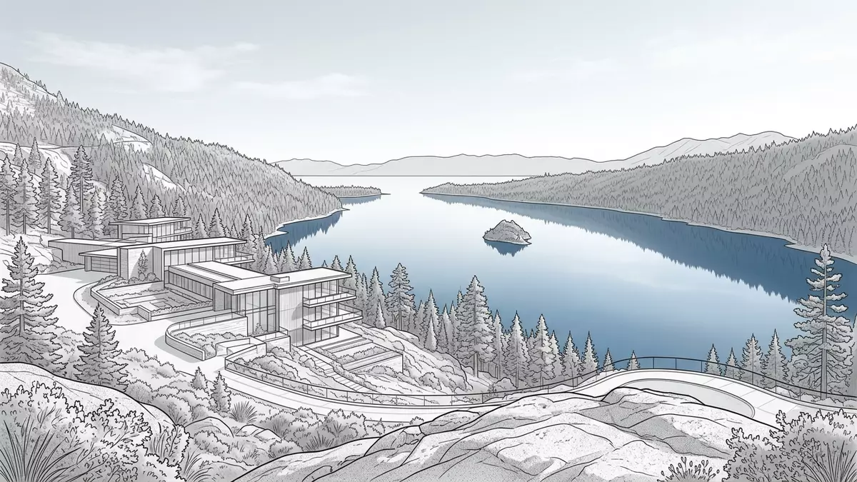
Emerald Bay on the western shore of Lake Tahoe is a sheltered basin of blue?green water ringed by steep granite slopes and thick pine forest, with views that have made it one of the enduring landscapes of the Sierra Nevada. Centred on the bay and its surrounding slopes, Emerald Bay State Park forms part of California’s protected lakeshore in El Dorado County and anchors the western side of the South Lake Tahoe region.
The blue?green waters and surrounding granite amphitheatre
Emerald Bay lies on the California side of Lake Tahoe, near the lake’s south?western corner, where the shoreline sweeps into a broad inlet hemmed in by high granite walls and forested ridges.Emerald Bay State Park along Lake Tahoe’s west shore gives formal protection to this landscape and marks the bay as a National Natural Landmark for its panorama of mountain building and glacier?carved rock.National Natural Landmark designation The water here appears distinctly blue?green compared with the deeper main lake, a colour that stands out against the pale granite and dark trees.
The bay forms an inlet off the broader expanse of Lake Tahoe, with the surrounding slopes dropping down to narrow strips of lakeshore where visitors can stand at water level and look across to the island at its centre.Emerald Bay as the only inlet on the lake Above the shoreline, the terrain rises quickly into a natural amphitheatre of granite outcrops and mixed conifer forest, punctuated by viewpoints along the ridge road and by trails such as the Rubicon Trail that trace the contour of the lake from neighbouring D.L. Bliss State Park towards the bay.Rubicon Trail from D.L. Bliss State Park to Emerald Bay
Emerald Bay State Park, Fannette Island and Vikingsholm
Emerald Bay State Park was created to centre protection on the bay itself, its shoreline and the slopes above, and it is recognised as a state park of California within El Dorado County.Emerald Bay State Park in El Dorado County The park contains Lake Tahoe’s only island, Fannette Island, which rises from the middle of the bay as a granite knoll with sparse timber and brush on its flanks.Fannette Island as Lake Tahoe’s only island Fannette Island forms part of the state park and is reached by watercraft such as kayaks, canoes or small boats rather than by swimming, which is not permitted because of hazards including cold water and boat traffic.prohibition on swimming to Fannette Island
On the southern shore of the bay sits Vikingsholm, a substantial lakeside house built in the late 1920s in a Scandinavian?inspired style for Lora Josephine Knight, an American heiress who used it as a summer residence.Vikingsholm built in 1929 for Lora Josephine Knight The house stands just above the beach at the head of the bay, with its stone and timber forms echoing details from Nordic architecture, and it can be reached on foot by a trail descending from a parking area off California State Route 89 to the lakeshore.Vikingsholm access from Highway 89 Fannette Island, with the remains of a small stone tea house linked historically to Vikingsholm, and the house itself together give Emerald Bay a distinctive combination of built heritage and natural scenery concentrated within a relatively compact area.
Approaching Emerald Bay from South Lake Tahoe
Emerald Bay lies to the north?west of the main built?up area of South Lake Tahoe and is reached by road along California State Route 89, which runs above the bay on the west shore of the lake.access via California State Route 89 The park boundary extends along this section of Highway 89, with signed parking areas and viewpoints giving access to short walks and longer trails that lead down towards the lakeshore or along the contour of the mountainside.park location relative to South Lake Tahoe Roadside viewpoints such as Inspiration Point offer elevated perspectives over the bay, Fannette Island and the wider lake basin, framed by peaks in the surrounding Sierra Nevada.
Within the park itself, trails provide a range of approaches to the landscape: some follow the shoreline near Vikingsholm and the beach, others climb towards higher viewpoints or connect with routes like the Rubicon Trail that link Emerald Bay with neighbouring state park land.trail links between D.L. Bliss and Emerald Bay Boating on the bay brings visitors closer to Fannette Island, while remaining within the regulations that protect the island’s nesting birds and prohibit overnight stays and dogs on the island.restrictions on Fannette Island Away from the water, the backdrop of granite, forest and mountain weather gives the bay a setting distinct from the casino and resort districts of South Lake Tahoe on the Nevada border.
Visiting Emerald Bay: what travellers from Western Europe should know
- Emerald Bay lies north?west of South Lake Tahoe on the California side of Lake Tahoe, and is reached by road along California State Route 89, which passes above the bay and the main viewpoints.
- The terrain drops steeply from Highway 89 down to the lakeshore, with trails that include sustained gradients and sections on granite and compacted earth, so visits to the beach at Vikingsholm involve a descent and corresponding climb.
- The surrounding Sierra Nevada gives Emerald Bay a mountain setting, with winter conditions that can include snow and ice on higher ground around the bay and summer periods warm enough for lakeshore walking and boating.
- Emerald Bay is in the United States; the official language is English and the currency is the US dollar.
- Entry requirements depend on your nationality; UK travellers can check the FCDO travel advice at gov.uk/foreign-travel-advice, Irish travellers the Department of Foreign Affairs at ireland.ie.
Searching for Emerald Bay on social platforms
These links open searches for Emerald Bay on each platform.Frequently asked questions about Emerald Bay
Where is Emerald Bay in relation to South Lake Tahoe?
Emerald Bay lies on the California side of Lake Tahoe, north?west of the main South Lake Tahoe area, along California State Route 89 on the west shore.
What can visitors expect on a visit to Emerald Bay?
Visitors encounter a blue?green inlet framed by granite and forest, with access to lakeshore trails, viewpoints above the bay, and the combination of Vikingsholm and Fannette Island within the state park.
What makes Emerald Bay distinctive among Lake Tahoe’s landscapes?
Emerald Bay is distinguished by its protected status as a state park and National Natural Landmark, by the presence of Lake Tahoe’s only island, Fannette Island, and by the Scandinavian?inspired house of Vikingsholm at the head of the bay.


