
Dujiangyan and the river that shaped Chengdu
Published on 09/10/2026 at 17:11 | Editorial responsibility: Rafael Müller, Editor-in-Chief AD HOC NEWS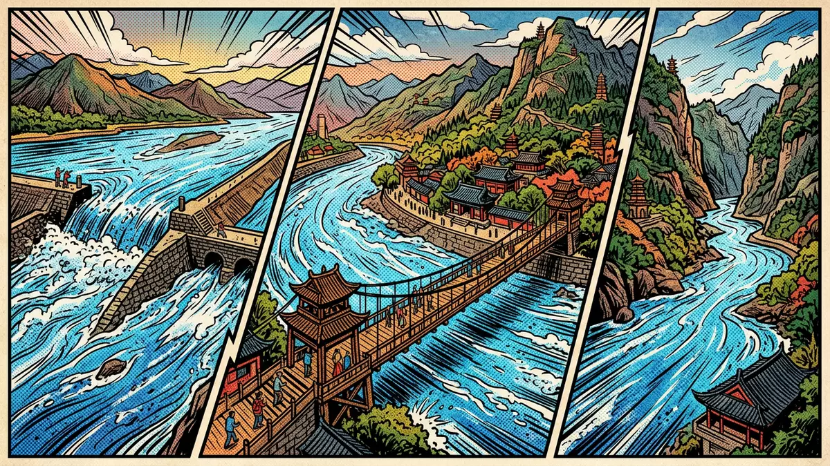
On the western edge of the Chengdu plain in China, Dujiangyan is where an ancient hydraulic system meets a modern city, with waterworks dating back to the third century BC and still guiding the Min River across farmland.
An ancient irrigation system on the Min River
Dujiangyan is an extensive hydraulic engineering system on the Min River at the western margin of the Chengdu plain in Sichuan Province. The works stand near Dujiangyan City, which forms part of the Chengdu administrative area along the middle reaches of the Min River, a major tributary of the Yangtze.western portion of the Chengdu flatlands The project was begun in the third century BC, during the Warring States period, under the Qin state: many sources date its origin to around 256 BC, making it one of the earliest large-scale water management schemes still operating.constructed during the Warring States period
The system was directed by Li Bing, governor of Shu Prefecture in the Qin Dynasty, working with his son and a large labour force. It was laid out on the Min River west of what is now Dujiangyan City, where the river leaves the mountains and enters the Sichuan basin.built at the end of the reign of King Zhao of the Qin Dynasty In its present form, Dujiangyan uses the natural slope of the river and the difference in levels between channels and embankments to divide flow, discharge sediment and feed irrigation canals without a single dam closing the main river.water diversion without constructing a dam
Fish mouths, weirs and channels: how Dujiangyan is laid out
The irrigation system at Dujiangyan is composed of a series of shaped embankments, channels and weirs that work together to manage the Min River. Near the main river course stands the Fish Mouth levee, also known as Yuzui, which divides the river into two branches, changing how water is shared between an inner channel and an outer course.Fish Mouth and Diamond Dike Downstream, Feisha weir, or Flying Sand Weir, and related dikes help control flow and discharge sediment, directing heavier material out of the irrigation channel while retaining usable water.Yuzui diversion dike, Feisha weir spillway, Baopingkou inlet
Baopingkou, the “Bottle-Neck” inlet, is the gateway through which water enters the main irrigation canal leading across the Chengdu plain. Together, the Fish Mouth structures, Flying Sand Weir and Baopingkou form a continuous hydraulic sequence, supported by ancillary embankments and watercourses such as Baizhang Dike and Erwang Temple Watercourse.ancillary embankments and watercourses The system is commonly described as having two broad components: the Weir Works in the river itself, set at an elevation higher than much of the surrounding plain, and the irrigated area, a network of channels spreading across the fertile land to the east.Weir Works and irrigated area
World Heritage landscape beside Mount Qingcheng
Dujiangyan sits at the junction between the Sichuan basin and the Qinghai–Tibet Plateau, where mountains rise sharply above the Chengdu flatlands and the Min River cuts a path towards the interior of China.junction between the Sichuan basin and the Qinghai-Tibet plateau The irrigation system and the nearby Daoist landscape of Mount Qingcheng form a combined World Heritage property named “Mount Qingcheng and the Dujiangyan Irrigation System”, recognised by UNESCO as a cultural site under criteria including outstanding engineering and spiritual significance.inscribed on the World Heritage List in 2000 The listing was approved in 2000, at the 24th session of the World Heritage Committee, and is recorded under reference number 1001.Mount Qingcheng and the Dujiangyan Irrigation System
Beyond the World Heritage inscription, Dujiangyan has been recognised internationally as a Heritage Irrigation Structure by the International Commission on Irrigation and Drainage, highlighting its enduring role in water management and agriculture.Heritage Irrigation Structure The system is described as one of three major hydraulic projects associated with the Qin state, alongside Zhengguo Canal in Shaanxi and Lingqu Canal in Guangxi, underlining its place within a broader history of early Chinese engineering.three great hydraulic engineering projects For travellers based in Western Europe, this means that a visit to Dujiangyan combines a working water project, a river landscape and a cultural site recognised on multiple international lists.
Visiting Dujiangyan: what travellers from Western Europe should know
- Dujiangyan lies in Sichuan Province to the north-west of Chengdu, and the irrigation system stands on the Min River near Dujiangyan City, which is linked to Chengdu by road and rail.
- The waterworks are spread along riverbanks and channels, with stepped paths and embankments; some viewpoints are reached by walking over uneven stone surfaces and climbing stairways beside the river.
- Mount Qingcheng rises nearby to the south-west of Dujiangyan City, and the combined landscape of the mountain and irrigation system can be seen from various vantage points around the river.
- The official language is Chinese and the currency is the renminbi (yuan); signage in tourist areas around Dujiangyan often includes Chinese characters and other languages.
- Entry requirements depend on your nationality; UK travellers can check the FCDO travel advice at gov.uk/foreign-travel-advice, Irish travellers the Department of Foreign Affairs at ireland.ie.
Searching for Dujiangyan on social platforms
These links open searches for Dujiangyan on each platform.
Frequently asked questions about Dujiangyan
Where is Dujiangyan and what kind of place is it?
Dujiangyan is an ancient irrigation and flood-control system on the Min River near Dujiangyan City in Sichuan Province, forming part of the wider Chengdu region.
What should visitors expect when exploring Dujiangyan?
Visitors encounter river embankments, channels, stone paths and stairways, along with viewpoints over the Fish Mouth levees, weirs and Baopingkou inlet set in the landscape.
What makes Dujiangyan distinctive among hydraulic works?
Dujiangyan dates back to the third century BC, diverts water without a main river dam, and is recognised together with Mount Qingcheng as a UNESCO World Heritage site.


