
Custer State Park and the granite heart of the Black Hills
Published on 08/26/2026 at 22:33 | Editorial responsibility: Rafael Müller, Editor-in-Chief AD HOC NEWS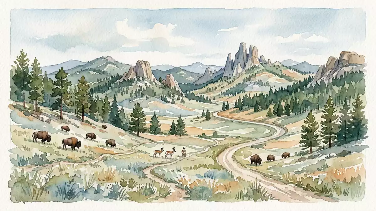
Custer State Park in South Dakota is a landscape of granite spires, lakes and open prairie, shaped by the Black Hills. It was established in 1912 and became a state park in 1919, with Peter Norbeck closely associated with that shift. 1919 state park
Granite ridges and open water
The park’s strongest visual contrast lies between its rocky uplands and its quieter water. Sylvan Lake sits among granite outcrops, while the Needles area presents narrow spires and weathered stone forms.
That mix gives the park a concentrated Black Hills character. It also makes the roads part of the landscape rather than a frame around it, especially where the route meets the stone ridges and the forested slopes. Needles Highway
Peter Norbeck and the park’s early identity
Peter Norbeck remains central to the park’s story because he tied its emergence to conservation and landscape travel. The area began as scattered public lands, was gathered into Custer State Forest in 1912, and then became Custer State Park in 1919.
That sequence matters because the park’s identity is not only scenic but historical. South Dakota’s first and largest state park also keeps the imprint of an early twentieth-century public-lands programme, with roads and facilities added in later decades. first and largest state park Custer State Forest
Bison, prairie and the southern drive
The southern part of the park is known for open grassland and bison country. The herd gives the park a working-ranch feeling in places, with wildlife visible against a broad prairie rather than only in enclosed viewing areas.
The Wildlife Loop Road runs through that terrain and links the larger scenic system with the park’s southern plain. It is a strong counterpoint to the granite country to the north, and it broadens the park from a mountain drive into a mixed prairie-and-stone landscape. bison centre Wildlife Loop Road
Visiting Custer State Park: what travellers from Western Europe should know
- The park lies in the Black Hills of south-western South Dakota, near Custer. US Highway 16A serves the main park area, and the Needles Highway and Wildlife Loop Road are the best-known scenic approaches.
- The terrain ranges from prairie to granite hills. Roads and trails pass rock spires, lake margins and uneven ground, so the park is best read as a landscape of contrasts rather than a single viewpoint.
- The area includes bison country. Wildlife can be seen from the roads, and the southern loop is the most direct place to encounter the park’s open-range character.
- The official language is English and the currency is the US dollar.
Searching for Custer State Park on social platforms
These links open searches for Custer State Park on each platform.
Frequently asked questions about Custer State Park
Where is Custer State Park?
It lies in the Black Hills of South Dakota, near the town of Custer. The park sits within a region of granite hills, forests and prairie.
What does a visit involve?
Expect a road-based landscape with scenic drives, wildlife and lakes. The park’s main roads connect granite country with open grassland.
What makes it distinctive?
The combination of Peter Norbeck’s road network, granite formations and a large bison landscape gives the park a clear identity. Its 1919 state-park status also places it firmly in South Dakota’s public-land history.


