
Cradle Mountain and Tasmania’s glacial stone landscape
Published on 09/24/2026 at 05:59 | Editorial responsibility: Rafael Müller, Editor-in-Chief AD HOC NEWS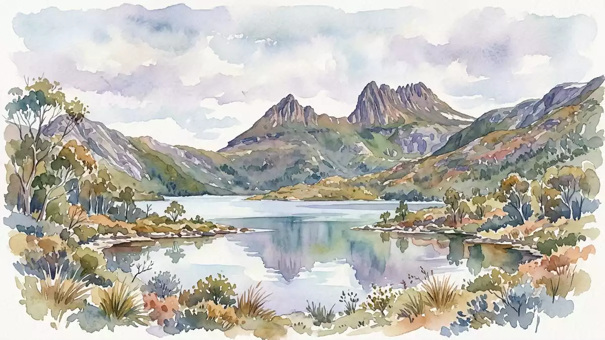
Cradle Mountain rises above Dove Lake in north-western Tasmania as a serrated ridge of dark dolerite. The summit reaches 1,545 m (5,069 ft), while glacial valleys, tarns and alpine vegetation spread through the surrounding national park.
Cradle Mountain above Dove Lake
The mountain forms the northern end of Cradle Mountain–Lake St Clair National Park. Its profile includes the main summit and Little Horn, with rocky ridges gathered above the waters of Dove Lake.
The park belongs to the Tasmanian Wilderness World Heritage Area, inscribed in 1982. The protected landscape contains mountain peaks, lakes, rainforest, eucalyptus forest, alpine grassland and exposed rock.
Dolerite ridges shaped by ice
Cradle Mountain is built from dolerite, an igneous rock that appears across many of Tasmania’s highland peaks. The surrounding terrain records glacial erosion and deposition over the past two million years.
Glaciers carved the Dove River valley and left lakes, tarns, moraines and other deposits across the plateau. The contrast between hard rocky summits and water-filled hollows gives the landscape its distinct form. glacial landscape of Cradle Mountain
From Ribbed Rock to a protected mountain
The peak was previously known as Ribbed Rock. Van Diemen’s Land Company surveyor Joseph Fossey gave it the name Cradle Mountain, referring to the dipping outline between the main summit and Little Horn.
Henry Hellyer is credited with an ascent in 1831, while historical accounts also discuss Joseph Fossey’s possible climb in 1828. Gustav Weindorfer and Kate Weindorfer helped establish the area’s public identity, including through Waldheim Chalet, built in 1912.
The mountain’s name, geology and protected status are closely visible in the landscape. A dark ridge, a glacial lake and alpine vegetation occupy the same highland setting, with the broader park extending towards Lake St Clair. Tasmanian history of the mountain
Visiting Cradle Mountain: what travellers from Western Europe should know
- Cradle Mountain lies in north-western Tasmania, within Cradle Mountain–Lake St Clair National Park. Road access leads towards Dove Lake, and the area is connected with Tasmania’s wider national-park network.
- The landscape includes steep mountain ground, exposed dolerite, rocky ridges, forest and alpine vegetation. Walks around Dove Lake and towards higher terrain differ substantially in gradient and surface.
- Dove Lake lies directly below the mountain’s most recognisable profile. Waldheim Chalet provides a named historical landmark within the surrounding protected area.
- The official language is English and the currency is the Australian dollar.
- Entry requirements depend on your nationality; UK travellers can check the FCDO travel advice at gov.uk/foreign-travel-advice, Irish travellers the Department of Foreign Affairs at ireland.ie.
Searching for Cradle Mountain on social platforms
These links open searches for Cradle Mountain on each platform.
Frequently asked questions about Cradle Mountain
Where is Cradle Mountain?
Cradle Mountain is in north-western Tasmania, Australia. It forms the northern end of Cradle Mountain–Lake St Clair National Park.
What can travellers expect at Cradle Mountain?
The area combines Dove Lake, forest, alpine vegetation, rocky ridges and glacial landforms. Walking terrain ranges from lakeside paths to steep, exposed mountain ground.
What makes Cradle Mountain distinctive?
Its 1,545 m (5,069 ft) dolerite summit rises above a glacial landscape. The dipping ridge between the main summit and Little Horn gave the mountain its name.


