
Corn Islands: coral-ringed shores of Big Corn Island
Published on 09/18/2026 at 11:44 | Editorial responsibility: Rafael Müller, Editor-in-Chief AD HOC NEWS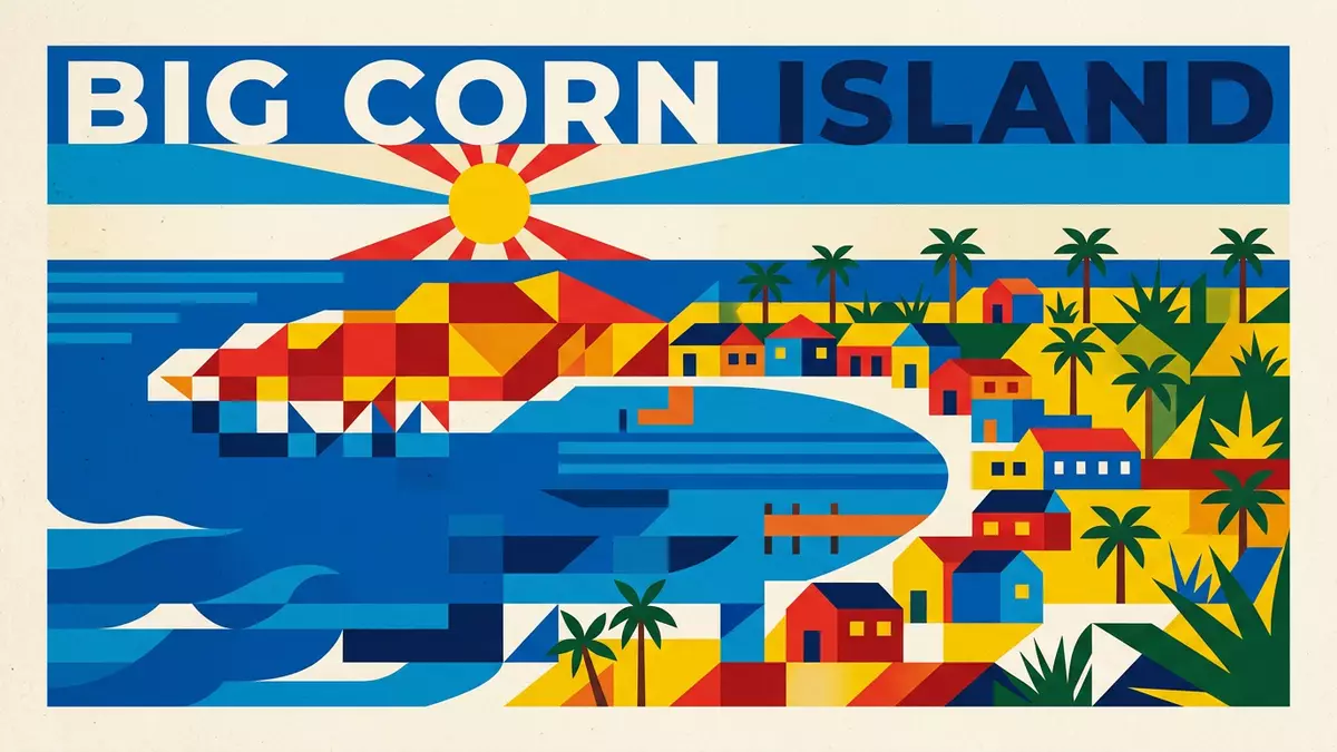
Off the Caribbean coast of Nicaragua, the Corn Islands form a small municipality centred on Big Corn Island, where low hills, coral reefs and Afro-Caribbean heritage share the same compact shoreline.
An Afro-Caribbean island in the Mosquito Coast
The Corn Islands, known in Spanish as Las Islas del Maíz, lie in the South Caribbean Coast Autonomous Region of Nicaragua, east of the mainland in the Caribbean Sea.South Caribbean Coast Autonomous Region The municipality consists of two islands, Great Corn Island and Little Corn Island, with Big Corn Island the larger and more developed of the pair.Great Corn Island and Little Corn Island From the air, Big Corn Island appears as a green oval of land circled by pale sand and reef shallows, set against deep turquoise water.
Big Corn Island covers around 10 km² (about 4 square miles), and its outline is traced by a ring road that runs close to the sea for much of its length.total area of just four square miles Low-rise villages spread along this circuit, broken by stretches of palm trees and open shoreline. In Brig Bay and the neighbouring settlements, small piers extend into sheltered water, a reminder that maritime links have long connected the islands to the wider Mosquito Coast.
From Kukra inhabitants to a Caribbean municipality
The earliest known inhabitants of the Corn Islands were the Kukra Indigenous people, who are recorded in historical accounts as coming from the region around Pearl Lagoon on the Nicaraguan coast.Kukra Indians who originally came from Pearl Lagoon In the early colonial era, Great Corn Island entered European charts when Christopher Columbus sighted the islands on 18 September 1502 during his fourth voyage and gave them the name Islas Limonares.Christopher Columbus spotted Great Corn Island The wider region became known as the Mosquito Coast, and the islands later formed part of a British protectorate that covered the eastern half of present-day Nicaragua.British protectorate from 1655 until 1860
In the nineteenth century the islands were formally incorporated into Nicaragua, bringing them under national administration after almost two centuries of shifting imperial influence.officially becomes incorporated into the country in 1894 Through this history, Afro-descendant and Indigenous communities shaped a culture in which English is widely used alongside Spanish and local Creole forms, and maritime work, small-scale agriculture and fishing link daily life to the sea. The continued importance of coastal routes is reflected in the way boats, rather than large ports, line the shores.
Big Corn Island’s land, reef and everyday rhythms
On Big Corn Island the land rises gently towards Mount Pleasant Hill, a summit in the northern part of the island that forms the highest point of the Corn Islands.Mount Pleasant Hill From its slopes, views reach across coconut groves to the reef-fringed coastline and, on clear days, towards Little Corn Island offshore. Around the foot of the hill, small houses, churches and community buildings sit on lanes that connect down to the encircling coastal road.
Along the shore, white and golden sand alternates with rocky edges where coral structures lie close to the surface, creating varied access points to the Caribbean Sea.white-sand beaches, swaying palm trees and warm waters Offshore, the reef system supports diving and snorkelling, while small fishing boats head out beyond the shallows in search of lobster and other catch.healthy reef for scuba diving, snorkeling, fishing, and lobstering On land, everyday movement follows the modest scale of the island: the ring road can be travelled by taxi or golf cart, and many residents move by foot between villages and coves.
Visiting Corn Islands: what travellers from Western Europe should know
- The Corn Islands lie east of Bluefields in the Caribbean Sea, and Big Corn Island is reached from Nicaragua’s mainland by air services from Managua or by river and sea routes linking Rama, Bluefields and the island.
- The terrain on Big Corn Island includes low hills such as Mount Pleasant Hill and a coastal ring road; away from the road, some paths run over uneven ground and sandy stretches near the shore.
- Little Corn Island lies offshore and is reached by local boats from Big Corn Island, with simple docks on each island marking the departure and arrival points.
- On the Corn Islands, English and Spanish are both used, and the national currency on Big Corn Island is the Nicaraguan córdoba.
- Entry requirements depend on your nationality; UK travellers can check the FCDO travel advice at gov.uk/foreign-travel-advice, Irish travellers the Department of Foreign Affairs at ireland.ie.
Searching for Corn Islands on social platforms
These links open searches for Corn Islands on each platform.
Frequently asked questions about Corn Islands
Where are the Corn Islands and Big Corn Island located?
The Corn Islands are in the Caribbean Sea off the east coast of Nicaragua, with Big Corn Island lying around 70 km offshore near the port city of Bluefields.
What should visitors expect when they arrive on Big Corn Island?
Visitors find a modestly sized Caribbean island with a ring road, low hills, palm-backed beaches, small fishing boats and villages where English and Spanish are both spoken.
What makes Big Corn Island distinctive within the Corn Islands?
Big Corn Island is distinctive for combining Mount Pleasant Hill, encircling coral-fringed shores and an Afro-Caribbean cultural history rooted in Indigenous communities, European explorers and the Mosquito Coast.


