
Copacabana and its black-and-white wave along the Atlantic
Published on 08/29/2026 at 20:41 | Editorial responsibility: Rafael Müller, Editor-in-Chief AD HOC NEWS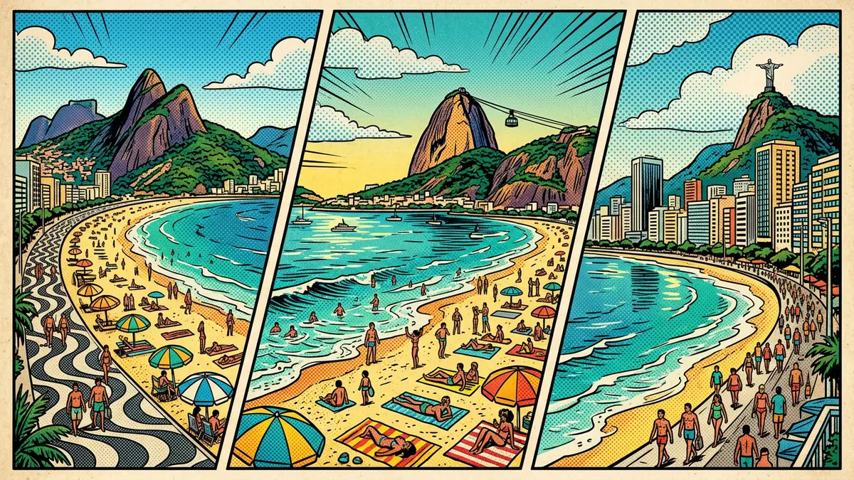
Copacabana in Rio de Janeiro is a long city beach backed by a striking black-and-white wave mosaic promenade and dense urban frontage. This stretch of sand became known as Copacabana in the eighteenth century, when a chapel dedicated to Our Lady of Copacabana stood on a rock at one end of the former Sacopenapã beach, and it was later incorporated into the city’s urban fabric in 1892.
The curve of sand between the hills
Copacabana forms a broad arc of Atlantic shoreline on the southern edge of Rio de Janeiro, facing the ocean beyond the entrance to Guanabara Bay. The neighbourhood grew out of a fishing settlement on a beach known as Sacopenapã, a Tupi name referring to herons in the area, and gradually became part of the expanding city when a tunnel linking it with Botafogo opened in 1892.incorporated into the municipality in 1892 Today the beach runs for around 4 km (2.5 miles) in a sweep of sand framed by the Atlantic on one side and residential blocks and hotels on the other.4 km balneario beach
Low rocky headlands mark each end of Copacabana’s sand, with the area known as Leme continuing the line of beachfront to the north-east and the Copacabana Fort occupying a promontory towards the southern end. The district sits within the South Zone of Rio de Janeiro, with the hills behind separating it from other neighbourhoods and reinforcing the feeling of a distinct strip of seaside city.
From Sacopenapã to Copacabana
Long before Copacabana became a dense seaside neighbourhood, this shoreline was known as Sacopenapã and was used by Indigenous communities and early colonial settlers. The name Sacopenapã, from the Tupi language, refers to a path associated with herons, and recalls the coastal ecology that once characterised the area.Sacopenapã from the Tupi word socó In the eighteenth century merchants from the Andean region brought an image of the Virgin of Copacabana, patron saint of Bolivia, to this shore, and a chapel was built on a rock at the end of the beach to house it.chapel to Nossa Senhora de Copacabana
The name Copacabana, taken from that devotional image, gradually supplanted Sacopenapã as the designation for both the beach and the neighbourhood. Over the nineteenth century the area remained relatively isolated from central Rio de Janeiro, with dunes and shrubs along the shore and modest fishing activity, until improved connections and urban projects brought streets, tram lines and eventually multi-storey buildings. By the early twentieth century Copacabana had become an urban seaside district with an avenue along the beach and a fort defending the entrance to the bay.
The black-and-white wave mosaic
The promenade running beside Copacabana’s sand is paved in black-and-white limestone, laid in a wave pattern that has become one of the most recognisable surfaces in Brazil. This is an example of Portuguese calçada paving, a tradition of patterned stone roads that began in Lisbon in the nineteenth century and spread to other parts of the Portuguese-speaking world.Portuguese calçadas tradition The wave motif used at Copacabana is based on a design created for Rossio Square in Lisbon, where the pattern was meant to evoke the meeting of the Tagus River and the Atlantic Ocean.
Avenue Atlântica, the street running along the beach, gained its stone promenade in the early twentieth century as part of a plan to modernise the then capital of Brazil and to pay tribute to Portuguese cultural heritage. Limestone stones were imported from Portugal because suitable deposits had not yet been identified in Brazil, and a team of specialist cobblers from Lisbon came to set them in place.Portuguese stone and cobblers Later, in the 1970s, the landscape architect Roberto Burle Marx redesigned the promenade, lengthening the curves of the pattern, aligning the waves parallel to the sea and integrating the walkway with planting schemes of trees and palms.Burle Marx’s 1970 redesign
Visiting Copacabana: what travellers from Western Europe should know
- Copacabana lies in the South Zone of Rio de Janeiro, on the Atlantic coast south of the entrance to Guanabara Bay. It is reached by city bus routes, the Rio Metro with stations in the neighbourhood, and road connections through tunnels from districts such as Botafogo.
- The beachfront is largely level, with long paved promenades and expanses of sand accessible from the kerbside. Streets behind the beach rise towards surrounding hills, and pavements can include short ramps, kerbs and occasional staircases near hillside alleys.
- The climate is tropical, with strong sun on the beach and little natural shade on the open sand. The promenade has trees planted at intervals, offering shade along parts of the walkway.
- Copacabana is part of Brazil. The official language is Portuguese and the currency is the Brazilian real.
- Entry requirements depend on your nationality; UK travellers can check the FCDO travel advice at gov.uk/foreign-travel-advice, Irish travellers the Department of Foreign Affairs at ireland.ie.
Searching for Copacabana on social platforms
These links open searches for Copacabana on each platform.Frequently asked questions about Copacabana
Where is Copacabana and what kind of place is it?
Copacabana is a seaside neighbourhood in the South Zone of Rio de Janeiro in Brazil, centred on a long Atlantic beach backed by city streets and buildings.
What should a visitor expect on a visit to Copacabana?
A visitor encounters a broad arc of sand, a long paved promenade in black-and-white stone, and an urban frontage of hotels, apartments and local streets behind the seafront.
What makes Copacabana distinctive among beaches?
Copacabana combines a 4 km city beach with a Portuguese-style wave mosaic promenade designed in the twentieth century, linking Atlantic surf with patterned stone and dense seaside architecture.


