
Ciudad Encantada, a stone city in the highlands of Cuenca
Published on 09/14/2026 at 10:19 | Editorial responsibility: Rafael Müller, Editor-in-Chief AD HOC NEWS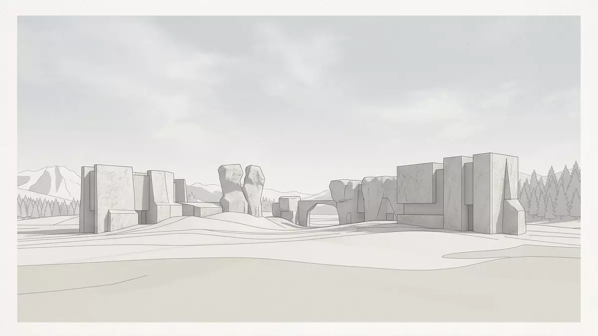
Ciudad Encantada in the hills north of Cuenca in Spain is a limestone and dolomite landscape where erosion has carved blocks, pillars and passageways into a setting that resembles a stone-built city laid out on a plateau. Formed in Cretaceous rocks dating back around 90 million years and recognised as a protected nature site since 1929, it offers a compact walk through geological time in the Serranía de Cuenca Natural Park.
A karst plateau shaped into a “stone city”
Ciudad Encantada lies in the Serranía de Cuenca, a highland region of Castilla-La Mancha where flat-lying limestone and dolomite beds form broad uplands cut by river gorges. Here the plateau surface breaks into blocks and isolated rock masses, creating something that reads like streets, squares and neighbourhoods built entirely of stone.Geological site near Cuenca The rocks belong to the Ciudad Encantada Dolomites, a sequence of Cretaceous carbonates deposited on a shallow marine shelf in what was once part of the Tethys ocean.Cretaceous dolomite sequence
Over geological timescales uplift exposed these beds at altitude, and fractures opened through the limestone and dolomite. Rainwater percolated along joints and bedding planes, dissolving the more soluble limestone and gradually widening cracks into corridors, bays and isolated towers. The result is a bare karst plateau with limestone pavements, pedestal rocks and natural bridges that can be traced on foot in a small area.Bare karst landscape
Limestone, dolomite and textbook karst forms
The bedrock at Ciudad Encantada is a mix of limestone and dolomite, with the more resistant dolomite often forming the caps of pedestal rocks and the upper parts of towers.Limestone and dolomite plateau Dolomite, a magnesian carbonate, tends to weather more slowly than the surrounding limestone, so blocks crowned with dolomite stand out while adjacent surfaces have been lowered by solution and frost action.Magnesian limestone caps This contrast in resistance underpins many of the forms that visitors see: mushroom-shaped rocks balanced on narrower bases, ledges projecting from walls, and plateau remnants separated by corridors.
Geomorphologists describe Ciudad Encantada as a field example of exokarst, where dissolution and mechanical weathering sculpt exposed carbonate rocks into karren fields, bogaz-like passages and ruiniform relief.Karstic landscape of national importance Along the walk the surface shows classic limestone pavements with clints and grikes, while nearby blocks rise as isolated masses that resemble walls, fortifications or stacked buildings. In several places narrow corridors cut between high rock faces, giving the impression of alleys within a mineral city rather than paths across open countryside.Karst process and whimsical formations
A protected nature site in the Serranía de Cuenca
Ciudad Encantada sits within the Serranía de Cuenca Natural Park, a protected mountain area where pine forests, river valleys and bare rock plateaus share the same highland setting.Enchanted City in the Cuenca mountains The Spanish authorities recognised the geological and scenic importance of this karst landscape early in the twentieth century, declaring it a “Sitio Natural de Interés Nacional” in 1929 and anchoring it in the catalogue of nationally important nature sites.Nature site of national interest in 1929 The designation reflects both the clarity with which karst processes can be observed here and the way the landscape has become a reference point for studies of Spanish carbonate relief.
Within this protected framework visitors follow a marked circuit that passes through different types of landform: broad open pavements, tight corridors between walls, and groups of pedestal rocks that resemble gatherings of figures or animals.Marked trail through rock formations The surrounding scenery includes pine stands and distant views towards other uplands of the Serranía de Cuenca, but the focus remains on the stone itself. Locally, many individual rocks have acquired descriptive names based on their outlines, reinforcing the sense that the plateau is organised as a kind of natural architecture with recognisable shapes, corners and open spaces.Named rocks and ruiniform relief
Visiting Ciudad Encantada: what travellers from Western Europe should know
- Ciudad Encantada lies north of Cuenca in Castilla-La Mancha, within the Serranía de Cuenca Natural Park, and is reached by road along the CM-2104 towards Valdecabras.
- The terrain consists of uneven limestone pavements, rock corridors and natural steps, so sturdy footwear is useful and the circuit involves walking on irregular stone surfaces.
- Rock faces, pedestal formations and narrow passages sit among patches of pine woodland, giving a mix of shaded sections and open plateau along the route.
- The official language is Spanish and the currency is the euro.
Searching for Ciudad Encantada on social platforms
These links open searches for Ciudad Encantada on each platform.
Frequently asked questions about Ciudad Encantada
Where is Ciudad Encantada and what kind of place is it?
Ciudad Encantada is a karst plateau of limestone and dolomite near Cuenca in Castilla-La Mancha, Spain, forming part of the Serranía de Cuenca Natural Park.
What can visitors expect on a walk through Ciudad Encantada?
The circuit leads across limestone pavements and through corridors between high rock walls, passing pedestal formations, natural bridges and blocks that resemble built structures.
What makes Ciudad Encantada distinctive among Spanish landscapes?
It combines clear textbook karst forms in Cretaceous carbonate rocks with a layout that resembles a stone-built city, and has been recognised as a nature site of national interest since 1929.


