
Chott el Djerid, the wide salt mirror of southern Tunisia
Published on 09/17/2026 at 15:24 | Editorial responsibility: Rafael Müller, Editor-in-Chief AD HOC NEWS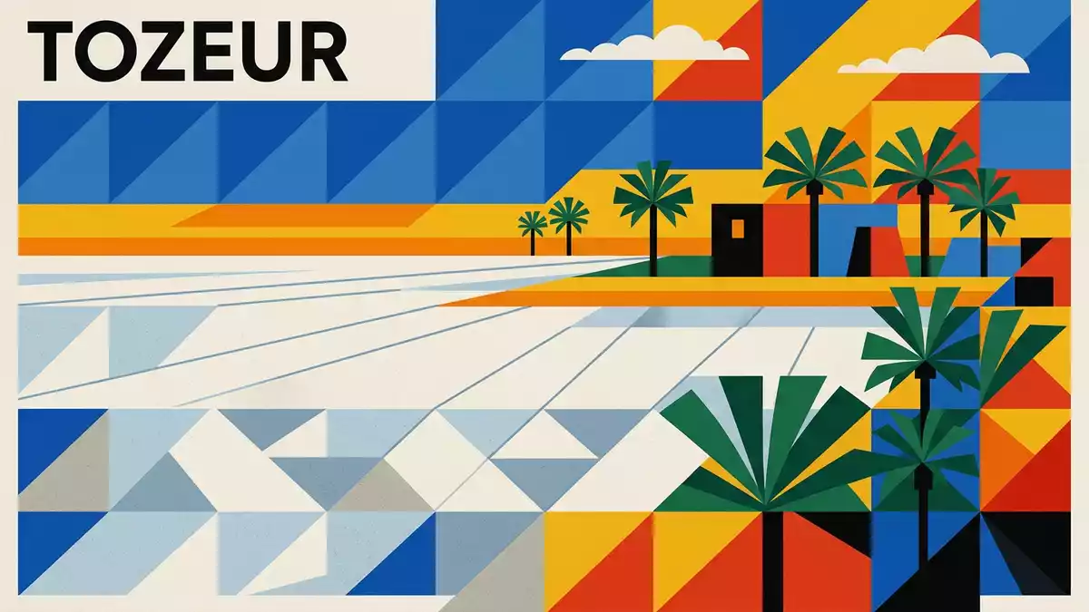
South of the oasis town of Tozeur in southern Tunisia, Chott el Djerid spreads out as a broad salt lake whose pale surface, cracks and mirages give the desert an otherworldly character.
A Saharan salt lake on a continental scale
Chott el Djerid is a large endorheic salt lake in the western part of Tunisia’s Sahara, occupying a shallow basin between Tozeur and Kebili.large endorheic salt lake Across several thousand square kilometres the lake forms a near-continuous salt plain, interrupted only by slightly raised islands of firmer ground and occasional shallow pools of brine.several thousand square kilometres
The basin lies in the Jerid region, an area of southern Tunisia associated with palm-filled oases such as Tozeur and Nefta.Jerid region Elevations on the salt flats are modestly below sea level in places, reinforcing the impression of a broad, shallow hollow that gathers mineral-rich water from surrounding uplands.slightly below sea level The lake is divided administratively between the governorates of Tozeur in the west and Kebili in the east, reflecting its role as a geographical hinge between oasis settlements and the open desert.shared between Tozeur and Kebili
Salt crust, mirages and seasonal water
For long stretches of the year the surface of Chott el Djerid is a cracked crust of salt and sediment, bright enough in places to form a stark contrast with the darker desert beyond.cracked salt crust Much of the basin appears almost flat over large distances, contributing to optical effects where distant objects seem to float or where patches of shallow water reflect the sky like sheets of glass.optical effects
After periods of heavier rain, water accumulates in the lower parts of the depression and Chott el Djerid can resemble an inland sea with scattered areas of open water and wider belts of saturated salt.inland sea after rain As the climate of southern Tunisia is arid, this water gradually evaporates, leaving behind new layers of crystallised minerals that slowly build the lake’s characteristic surface. The contrast between dry salt pan and water-filled basin is part of the enduring character of Chott el Djerid and helps explain why its appearance can change markedly across seasons without altering its basic identity as a salt lake.
Crossing the basin between oasis and desert
The main road route between Tozeur and Kebili runs across Chott el Djerid on a raised causeway, giving travellers a direct way to cross the salt plain without entering its softer areas.raised causeway On either side of this engineered line the salt crust stretches towards the horizon, with oasis settlements and small villages marking firmer ground along the margins.between Tozeur and Kebili
To the north the oases of Tozeur and Nefta sit beyond the edge of the salt flats, framed by the foothills that feed intermittent streams towards the basin.Tozeur and Nefta To the south and east, the wider belt of desert and other chotts leads in the direction of Douz and the sandier reaches of the Sahara.chain of chotts Chott el Djerid stands as the largest element in this chain of salt basins, forming a broad, pale interval between cultivated oasis land and the open desert further south.largest salt lake in the Sahara
Visiting Chott el Djerid: what travellers from Western Europe should know
- Chott el Djerid lies in southern Tunisia between Tozeur and Kebili, reached by road on the main causeway that crosses the salt lake basin.
- A visit involves standing or driving on flat terrain where hardened salt crust meets softer patches; care is needed away from established roads and tracks.
- The surrounding region is part of the Jerid oasis belt, so journeys to the lake commonly begin or end in Tozeur, Nefta or Kebili, where services and accommodation are concentrated.
- The official language is Arabic and the currency is the Tunisian dinar.
- Entry requirements depend on your nationality; UK travellers can check the FCDO travel advice at gov.uk/foreign-travel-advice, Irish travellers the Department of Foreign Affairs at ireland.ie.
Searching for Chott el Djerid on social platforms
These links open searches for Chott el Djerid on each platform.Frequently asked questions about Chott el Djerid
Where is Chott el Djerid located?
Chott el Djerid lies in southern Tunisia between the oasis region around Tozeur and the desert-facing areas near Kebili, forming part of the Jerid basin.
What should travellers expect when visiting?
Travellers encounter a broad, flat salt plain with cracked crust, occasional shallow water after rain and strong mirage effects, reached mainly via the raised road causeway.
What makes Chott el Djerid distinctive among desert landscapes?
Its combination of continental scale, salt crust, seasonal inland sea character and position between palm-filled oases and open Sahara gives Chott el Djerid a distinctive presence in North Africa.


