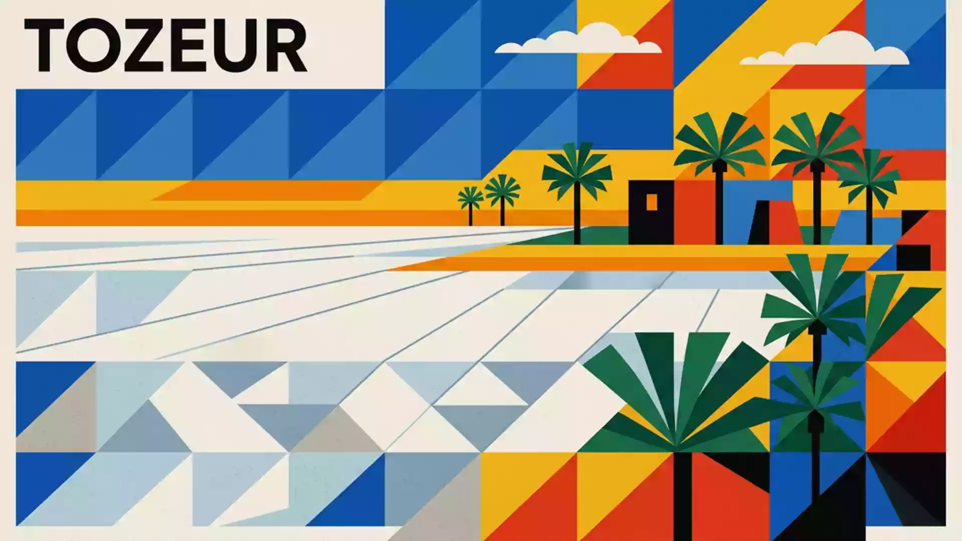
Chott el Djerid, the vast salt lake between Tozeur and Kebili
Published on 08/28/2026 at 20:43 | Editorial responsibility: Rafael Müller, Editor-in-Chief AD HOC NEWS
South of the oasis town of Tozeur in southern Tunisia, Chott el Djerid spreads across the desert as a vast salt lake whose flat, pale surface and mirages redefine how the horizon looks. Set in a broad saline depression between Tozeur and Kebili, it forms one of the largest continuous salt flats in the Sahara and a dominant feature of the country’s southern landscape.
A salt lake that becomes a plain
Chott el Djerid is an endorheic salt lake, a closed basin without an outlet to the sea, occupying a wide synclinal hollow in south-western Tunisia where mineral-rich waters collect and evaporate rather than draining away.endoretic salt lake in Tunisia The saline basin extends across several thousand square kilometres, with sources giving figures in the range of about 4,900 to 7,000 km², making it the largest salt pan in the Sahara and a dominant element on regional maps.largest salt pan of the Sahara
The surface of Chott el Djerid shifts between water and crust depending on the season. For long periods the lake holds very little standing water, exposing a broad expanse of cracked salt, thin mineral skins and shallow pools stained by algae and dissolved minerals. Elevations on the flats lie modestly below sea level in places, accentuating the basin-like character of the terrain and contributing to the sense of standing inside a vast shallow bowl of salt.slightly below sea level in places
Between oases and desert
Geographically, Chott el Djerid lies in the centre-west of Tunisia between the governorates of Tozeur to the west and Kebili to the east, and near desert landscapes that stretch towards the Algerian frontier.between the cities of Tozeur and Kebili On its northern side, the lake’s edge is marked by the oases of Tozeur and Nefta, noted for their date palm plantations and traditional brick architecture, while the southern rim leads towards Kebili and Douz, gateway towns for excursions into the surrounding Sahara.
The wider Jerid region, associated historically with palm groves and caravan routes, provides the cultural backdrop to settlements around the lake. The transition from irrigated oasis belts to stark salt crust and then to sandier desert beyond is legible in a short compass, making Chott el Djerid a place where several characteristic North African landscapes meet. The saline depression itself forms part of a chain of chotts and sebkhas that run towards the Gulf of Gabès, but Chott el Djerid is the most extensive of these and acts as a reference point for the region.largest sebkha in Tunisia
Mirages, colours and science-fiction horizons
On clear days, the flat salt surface of Chott el Djerid becomes a stage for mirages, with patches of refracted light suggesting distant water surfaces, low floating objects or distorted silhouettes along the horizon. A thin crust of salt often breaks into polygonal patterns, and shallow pools can take on pink or green hues where algae and minerals concentrate, adding colour to what might otherwise be a monochrome plain.mirages and mineral colours These effects contribute to the lake’s reputation as a place where ordinary notions of distance and depth become difficult to judge.
Chott el Djerid also has a place in film history. Sections of its salt flats provided exterior shots for the Lars family homestead on the desert planet Tatooine in the Star Wars series, with an igloo-like structure built on the flats near Tozeur serving as Luke Skywalker’s childhood home.Lars Homestead exterior set The combination of wide-open salt crust, low horizons and thin desert atmosphere gave the production a ready-made planetary landscape, and the association continues to draw film enthusiasts to the area.
Visiting Chott el Djerid: what travellers from Western Europe should know
- Chott el Djerid lies in southern Tunisia between Tozeur and Kebili, and a paved road embankment links the oasis belt around Tozeur with the desert settlements further east across the salt flats.
- The terrain on the lake itself is largely flat salt crust and shallow mineral pools, so away from the causeway surfaces can be uneven, brittle underfoot and in places difficult for regular vehicles.
- Tozeur functions as a practical base, with the oasis town set on the northern margin of the lake and desert excursions from there reaching the salt flats within a relatively short drive.
- The official language is Arabic and the currency is the Tunisian dinar.
- Entry requirements depend on your nationality; UK travellers can check the FCDO travel advice at gov.uk/foreign-travel-advice, Irish travellers the Department of Foreign Affairs at ireland.ie.
Searching for Chott el Djerid on social platforms
These links open searches for Chott el Djerid on each platform.
Frequently asked questions about Chott el Djerid
Where is Chott el Djerid located?
Chott el Djerid lies in southern Tunisia between the cities of Tozeur and Kebili, forming a broad salt lake basin in the centre-west of the country.
What should travellers expect when visiting?
Travellers encounter a wide expanse of flat salt crust, shallow mineral pools and mirage-filled horizons, usually approached via the paved causeway that crosses the basin.
What makes Chott el Djerid distinctive?
Its scale as the largest salt pan in the Sahara, the contrast between oasis and saline plain, and its appearance as a film location combine to make it distinctive.